
Venue Residences
3688 Overland Ave,
Los Angeles, CA 90034
$2,695 - $5,650
Studio - 2 Beds
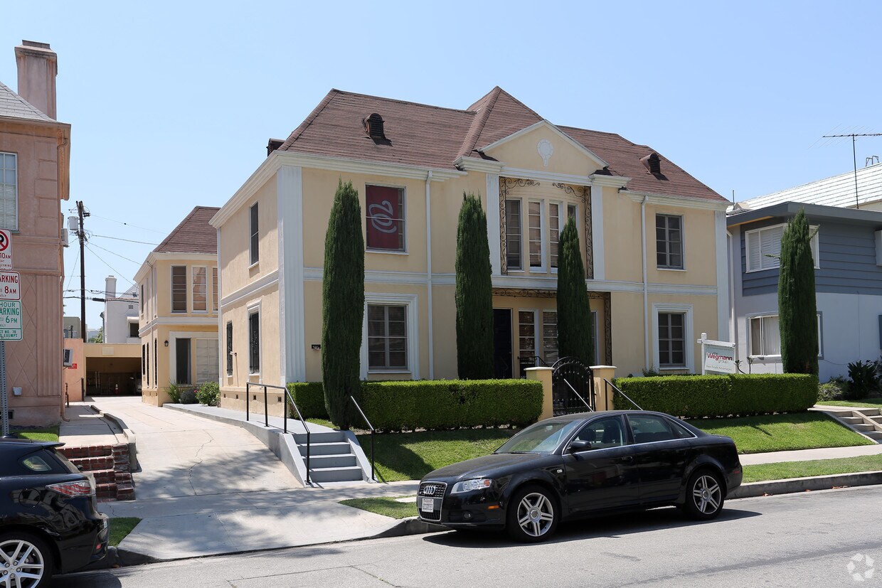

At 625 S Burnside Ave, experience stylish living. In a location on S. Burnside Ave in Los Angeles's 90036 area, renters can easily connect with a number of attractions found in the neighborhood. Come by to see the available floorplan options. The professional community team is waiting to show you all that this community has in store. Experience a better way of living at 625 S Burnside Ave. Contact or drop by the leasing office to talk about leasing your next apartment.
625 S Burnside Ave is an apartment community located in Los Angeles County and the 90036 ZIP Code. This area is served by the Los Angeles Unified Rocp School District attendance zone.
Originally developed to appeal to people driving down Wilshire Boulevard, Miracle Mile is a vibrant community brimming with retail offerings. Despite its design for automotive traffic, Miracle Mile accommodates pedestrians as well with paved sidewalks and wide walkways.
In addition to an array of apartments available for rent, Miracle Mile is home to exciting districts like Museum Row and Museum Square. Renting an apartment in Miracle Mile affords residents quick access to the cultural attractions in Museum Row as well as the restaurants, shops, bars, and entertainment venues that populate Museum Square. The La Brea Tar Pits and Museum, Los Angeles County Museum of Art, and Petersen Automotive Museum are all part of Museum Row.
Learn more about living in Miracle MileCompare neighborhood and city base rent averages by bedroom.
| Miracle Mile | Los Angeles, CA | |
|---|---|---|
| Studio | $1,926 | $1,707 |
| 1 Bedroom | $2,575 | $2,181 |
| 2 Bedrooms | $3,283 | $3,007 |
| 3 Bedrooms | $4,952 | $4,278 |
| Colleges & Universities | Distance | ||
|---|---|---|---|
| Colleges & Universities | Distance | ||
| Drive: | 7 min | 3.3 mi | |
| Drive: | 7 min | 3.6 mi | |
| Drive: | 8 min | 3.7 mi | |
| Drive: | 10 min | 5.2 mi |


Transportation options available in Los Angeles include Wilshire/Western Station, located 2.5 miles from 625 S Burnside Ave. 625 S Burnside Ave is near Los Angeles International, located 10.6 miles or 21 minutes away, and Bob Hope, located 11.6 miles or 22 minutes away.
| Transit / Subway | Distance | ||
|---|---|---|---|
| Transit / Subway | Distance | ||
|
|
Drive: | 4 min | 2.5 mi |
|
|
Drive: | 5 min | 2.9 mi |
|
|
Drive: | 7 min | 3.2 mi |
|
|
Drive: | 7 min | 3.2 mi |
|
|
Drive: | 9 min | 3.8 mi |
| Commuter Rail | Distance | ||
|---|---|---|---|
| Commuter Rail | Distance | ||
|
|
Drive: | 15 min | 8.2 mi |
|
|
Drive: | 17 min | 8.4 mi |
|
|
Drive: | 17 min | 9.5 mi |
|
|
Drive: | 19 min | 9.6 mi |
|
|
Drive: | 21 min | 10.5 mi |
| Airports | Distance | ||
|---|---|---|---|
| Airports | Distance | ||
|
Los Angeles International
|
Drive: | 21 min | 10.6 mi |
|
Bob Hope
|
Drive: | 22 min | 11.6 mi |
Scores provided by
Traffic
-Airport
-Businesses
-Scores provided by
HowLoud What is a Sound Score Rating? A Sound Score Rating aggregates noise caused by vehicle traffic, airplane traffic and local sources. How It WorksTime and distance from 625 S Burnside Ave.
| Shopping Centers | Distance | ||
|---|---|---|---|
| Shopping Centers | Distance | ||
| Walk: | 8 min | 0.4 mi | |
| Walk: | 11 min | 0.6 mi | |
| Walk: | 12 min | 0.6 mi |
| Parks and Recreation | Distance | ||
|---|---|---|---|
| Parks and Recreation | Distance | ||
|
La Brea Tar Pits
|
Walk: | 8 min | 0.4 mi |
|
Zimmer Children's Museum
|
Drive: | 2 min | 1.3 mi |
|
Runyon Canyon
|
Drive: | 9 min | 3.3 mi |
|
MacArthur Park Lake
|
Drive: | 9 min | 4.3 mi |
|
Kenneth Hahn State Recreation Area
|
Drive: | 13 min | 4.9 mi |
| Hospitals | Distance | ||
|---|---|---|---|
| Hospitals | Distance | ||
| Walk: | 18 min | 1.0 mi | |
| Drive: | 2 min | 1.3 mi | |
| Drive: | 4 min | 2.4 mi |
| Military Bases | Distance | ||
|---|---|---|---|
| Military Bases | Distance | ||
| Drive: | 21 min | 12.2 mi | |
| Drive: | 41 min | 29.0 mi | |
| Drive: | 44 min | 31.3 mi |
Pets Allowed Fitness Center Pool Maintenance on site High-Speed Internet Controlled Access EV Charging
What Are Walk Score®, Transit Score®, and Bike Score® Ratings?
Walk Score® measures the walkability of any address. Transit Score® measures access to public transit. Bike Score® measures the bikeability of any address.
What is a Sound Score Rating?
A Sound Score Rating aggregates noise caused by vehicle traffic, airplane traffic and local sources.

625 S Burnside Ave
Los Angeles, CA 90036


