

$950 / Month
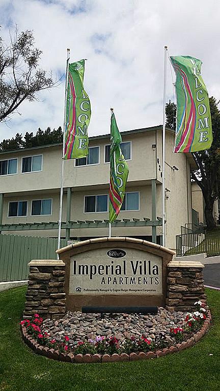
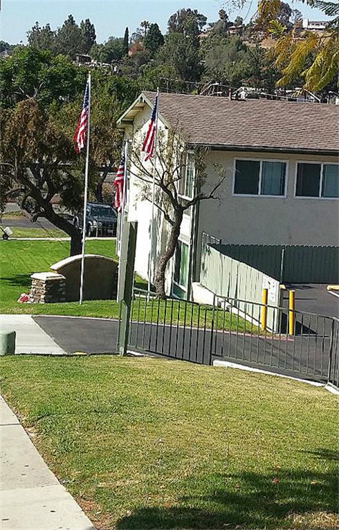
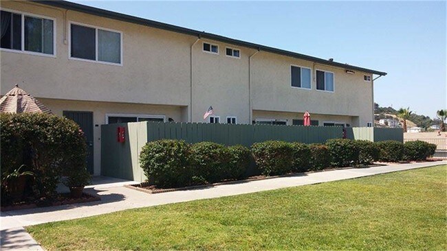
620 67th St
San Diego, CA 92114
2 Weeks Ago
Favorites
620 67th St

Favorites
Check Back Soon for Upcoming Availability
| Beds | Baths | Average SF |
|---|---|---|
| 1 Bedroom 1 Bedroom 1 Br | 1 Bath 1 Bath 1 Ba | — |
Fees and Policies
The fees below are based on community-supplied data and may exclude additional fees and utilities.
- Parking
-
Garage--
-
Other--
620 67th St is an apartment community located in San Diego County and the 92114 ZIP Code.
Features
- Cable Ready
- Wheelchair Accessible (Rooms)
- Range
- Refrigerator
Location
Get Directions
Encanto is a large, hilly community about five miles inland from San Diego Bay. The landscape is primarily suburban, mostly filled with single-family homes and manicured lawns (though many apartments and condos can be found near Imperial Avenue). Numerous public schools serve the community, giving many local students the option to walk to class.
In addition to bus service, the trolley line has a stop at the intersection of Akins Avenue and 62nd Street, making it easy to get around the city. With the Gaslamp Quarter just ten minutes away and Ocean Beach less than half an hour down the road, San Diego’s greatest attractions are yours for the taking.
Learn more about living in EncantoBelow are rent ranges for similar nearby apartments
Amenities
- Cable Ready
- Wheelchair Accessible (Rooms)
- Range
- Refrigerator
Education
| Colleges & Universities | Distance | ||
|---|---|---|---|
| Colleges & Universities | Distance | ||
| Drive: | 11 min | 6.8 mi | |
| Drive: | 12 min | 7.2 mi | |
| Drive: | 20 min | 7.5 mi | |
| Drive: | 18 min | 8.6 mi |
620 67th St is within 20 minutes or 7.5 miles from San Diego State University. It is also near San Diego City College and Thomas Jefferson School of Law.
Transportation options available in San Diego include Encanto/62Nd Street, located 0.6 mile from 620 67th St. 620 67th St is near San Diego International, located 10.4 miles or 17 minutes away.
| Transit / Subway | Distance | ||
|---|---|---|---|
| Transit / Subway | Distance | ||
|
|
Walk: | 11 min | 0.6 mi |
|
|
Drive: | 3 min | 1.5 mi |
|
|
Drive: | 5 min | 2.1 mi |
|
|
Drive: | 6 min | 2.9 mi |
|
|
Drive: | 6 min | 2.9 mi |
| Commuter Rail | Distance | ||
|---|---|---|---|
| Commuter Rail | Distance | ||
|
|
Drive: | 14 min | 8.0 mi |
|
|
Drive: | 16 min | 11.0 mi |
|
|
Drive: | 27 min | 19.5 mi |
|
|
Drive: | 35 min | 26.5 mi |
|
|
Drive: | 39 min | 30.2 mi |
| Airports | Distance | ||
|---|---|---|---|
| Airports | Distance | ||
|
San Diego International
|
Drive: | 17 min | 10.4 mi |
Time and distance from 620 67th St.
| Shopping Centers | Distance | ||
|---|---|---|---|
| Shopping Centers | Distance | ||
| Walk: | 12 min | 0.7 mi | |
| Drive: | 5 min | 2.0 mi | |
| Drive: | 6 min | 2.2 mi |
620 67th St has 3 shopping centers within 2.2 miles, which is about a 6-minute walk. The miles and minutes will be for the farthest away property.
| Parks and Recreation | Distance | ||
|---|---|---|---|
| Parks and Recreation | Distance | ||
|
Sweetwater Lane County Park
|
Drive: | 7 min | 3.3 mi |
|
Lamar County Park
|
Drive: | 9 min | 4.1 mi |
|
Chollas Lake Park
|
Drive: | 14 min | 4.6 mi |
|
Sweetwater Regional Park
|
Drive: | 10 min | 5.2 mi |
|
Eucalyptus County Park
|
Drive: | 11 min | 6.3 mi |
620 67th St has 5 parks within 6.3 miles, including Sweetwater Lane County Park, Lamar County Park, and Chollas Lake Park.
| Hospitals | Distance | ||
|---|---|---|---|
| Hospitals | Distance | ||
| Drive: | 6 min | 3.3 mi | |
| Drive: | 11 min | 5.5 mi | |
| Drive: | 13 min | 6.0 mi |
620 67th St has 3 hospitals within 6.0 miles, the nearest is Paradise Valley Hospital which is 3.3 miles away and a 6 minute drive.
| Military Bases | Distance | ||
|---|---|---|---|
| Military Bases | Distance | ||
| Drive: | 11 min | 5.6 mi | |
| Drive: | 20 min | 12.6 mi |
620 67th St is 5.6 miles from San Diego Naval Air Station, and is convenient to other military bases, including US Naval Amphibious Base.
You May Also Like
Similar Rentals Nearby


What Are Walk Score®, Transit Score®, and Bike Score® Ratings?
Walk Score® measures the walkability of any address. Transit Score® measures access to public transit. Bike Score® measures the bikeability of any address.
What is a Sound Score Rating?
A Sound Score Rating aggregates noise caused by vehicle traffic, airplane traffic and local sources

620 67th St
San Diego, CA 92114