
$1,700 / Month
6145 Toltec Way Unit 1
Los Angeles, CA 90042
2 Weeks Ago
Favorites
6145 Toltec Way Unit 1

Favorites
Check Back Soon for Upcoming Availability
| Beds | Baths | Average SF |
|---|---|---|
| 1 Bedroom 1 Bedroom 1 Br | 1 Bath 1 Bath 1 Ba | 500 SF |
Fees and Policies
The fees below are based on community-supplied data and may exclude additional fees and utilities.
- Dogs Allowed
-
Fees not specified
- Cats Allowed
-
Fees not specified
- Parking
-
Surface Lot--
Details
Utilities Included
-
Water
-
Heat
-
Air Conditioning
Lease Options
-
12 Months
Property Information
-
2 units
About This Property
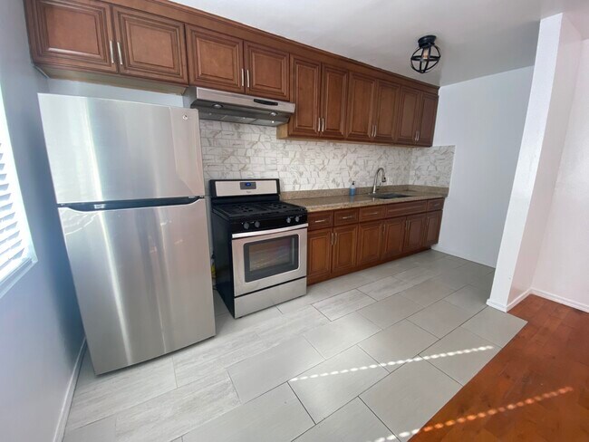
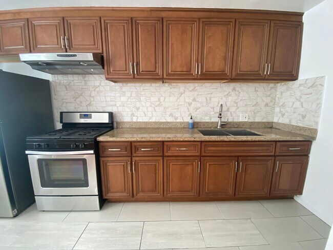
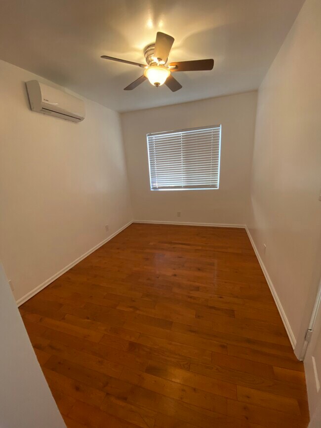
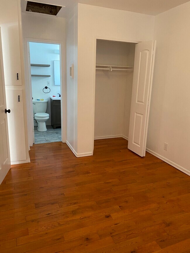
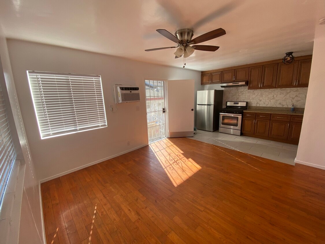
1bd 1 bth apartment in Hermon, between South Pasadena and Highland Park. Close to restaurants, movie theater, bars, grocery stores. Walking distance to Hermon Park (Arroyo Seco Park) which features Tennis Courts and a dog park. This 1bed / 1ba includes 1 parking space. First unit in the building large windows bring in natural lighting throughout the building. New AC unit in living room and new mini split in bedroom. New refrigerator in unit. Small laundry room with washer and dryer for building. pets ok Adjacent to 110 freeway Open House Saturday 2/25/23 1pm-4pm
6145 Toltec Way is an apartment community located in Los Angeles County and the 90042 ZIP Code.
Apartment Features
- Washer/Dryer
- Air Conditioning
- Refrigerator
- Laundry Facilities
- Media Center/Movie Theatre
Location
Get Directions
A quiet suburb outside of Los Angeles, Monterey Hills is known for its rolling hills, winding residential streets, and elevated city views. Check out Elephant Hill, a popular place to bike or hike that offers beautiful views of the neighborhood. Herman Park is nestled along Highway 110 in the north end of the neighborhood, offering tennis courts, playgrounds, and a dog park. And for more outdoor recreation, visit the biking paths and hiking trails at Ernest E. Debs Regional Park, bordering Monterey Hills.
Monterey Hills is a more secluded part of Northeast Los Angeles with larger lots, single-family homes, and tree-lined streets. However, if you cross over Highway 110, you’ll find theatres, restaurants, services, and more. Monterey Hills is located just seven miles northeast of Downtown Los Angeles and eight miles east of major attractions such as Griffith Park, the Los Angeles Zoo, the Greek Theatre, and Glendale Galleria.
Learn more about living in Monterey HillsBelow are rent ranges for similar nearby apartments
Amenities
- Washer/Dryer
- Air Conditioning
- Refrigerator
- Laundry Facilities
- Media Center/Movie Theatre
Expenses
Utilities Included
Water, Heat, Air Conditioning
Included
Education
| Colleges & Universities | Distance | ||
|---|---|---|---|
| Colleges & Universities | Distance | ||
| Drive: | 8 min | 3.2 mi | |
| Drive: | 6 min | 3.6 mi | |
| Drive: | 9 min | 4.3 mi | |
| Drive: | 12 min | 5.3 mi |
6145 Toltec Way Unit 1 is within 8 minutes or 3.2 miles from Occidental College. It is also near Art Center College of Design and USC, Health Sciences Campus.
Transportation options available in Los Angeles include Highland Park Station, located 1.0 mile from 6145 Toltec Way Unit 1. 6145 Toltec Way Unit 1 is near Bob Hope, located 17.6 miles or 25 minutes away, and Los Angeles International, located 20.7 miles or 33 minutes away.
| Transit / Subway | Distance | ||
|---|---|---|---|
| Transit / Subway | Distance | ||
|
|
Walk: | 19 min | 1.0 mi |
|
|
Drive: | 4 min | 1.7 mi |
|
|
Drive: | 5 min | 2.4 mi |
|
|
Drive: | 6 min | 2.7 mi |
|
|
Drive: | 6 min | 3.9 mi |
| Commuter Rail | Distance | ||
|---|---|---|---|
| Commuter Rail | Distance | ||
|
|
Drive: | 10 min | 5.6 mi |
|
|
Drive: | 12 min | 5.7 mi |
|
|
Drive: | 12 min | 6.9 mi |
| Drive: | 14 min | 9.7 mi | |
|
|
Drive: | 22 min | 13.9 mi |
| Airports | Distance | ||
|---|---|---|---|
| Airports | Distance | ||
|
Bob Hope
|
Drive: | 25 min | 17.6 mi |
|
Los Angeles International
|
Drive: | 33 min | 20.7 mi |
Time and distance from 6145 Toltec Way Unit 1.
| Shopping Centers | Distance | ||
|---|---|---|---|
| Shopping Centers | Distance | ||
| Walk: | 15 min | 0.8 mi | |
| Drive: | 3 min | 1.3 mi | |
| Drive: | 3 min | 1.4 mi |
6145 Toltec Way Unit 1 has 3 shopping centers within 1.4 miles, which is about a 3-minute walk. The miles and minutes will be for the farthest away property.
| Parks and Recreation | Distance | ||
|---|---|---|---|
| Parks and Recreation | Distance | ||
|
Audubon Center at Debs Park
|
Drive: | 4 min | 1.6 mi |
|
Kidspace Children's Museum
|
Drive: | 10 min | 5.1 mi |
|
Elysian Park
|
Drive: | 12 min | 5.4 mi |
|
Elyria Canyon Park
|
Drive: | 11 min | 5.6 mi |
|
Marsh Park
|
Drive: | 12 min | 5.9 mi |
6145 Toltec Way Unit 1 has 5 parks within 5.9 miles, including Audubon Center at Debs Park, Elyria Canyon Park, and Kidspace Children's Museum.
| Hospitals | Distance | ||
|---|---|---|---|
| Hospitals | Distance | ||
| Drive: | 9 min | 3.6 mi | |
| Drive: | 8 min | 4.0 mi | |
| Drive: | 6 min | 4.0 mi |
6145 Toltec Way Unit 1 has 3 hospitals within 4.0 miles, the nearest is Alhambra Hospital Medical Center which is 3.6 miles away and a 9 minute drive.
| Military Bases | Distance | ||
|---|---|---|---|
| Military Bases | Distance | ||
| Drive: | 30 min | 22.2 mi | |
| Drive: | 43 min | 29.7 mi |
6145 Toltec Way Unit 1 is 22.2 miles from Los Angeles Air Force Base, and is convenient to other military bases, including Los Alamitos Army Airfield.
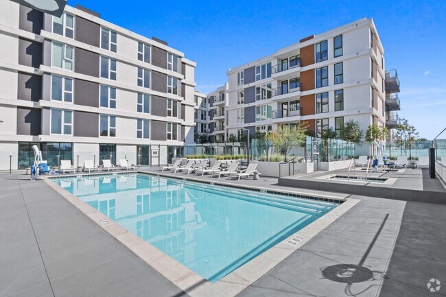
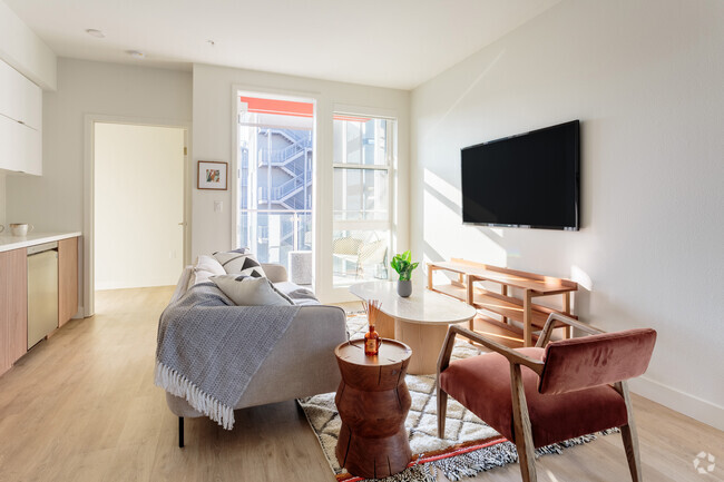
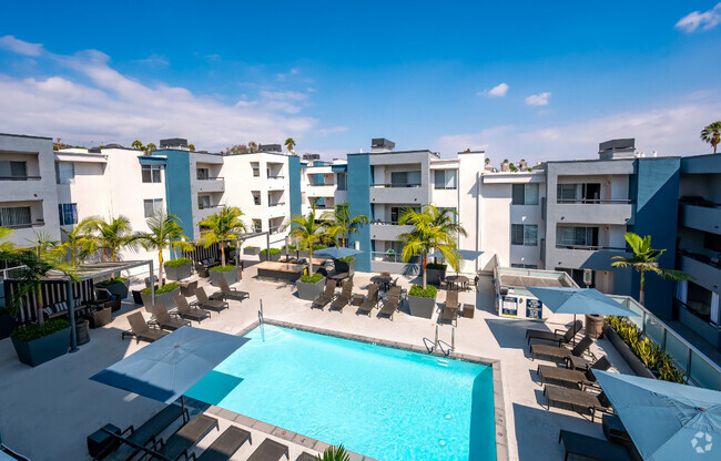
You May Also Like
Similar Rentals Nearby


What Are Walk Score®, Transit Score®, and Bike Score® Ratings?
Walk Score® measures the walkability of any address. Transit Score® measures access to public transit. Bike Score® measures the bikeability of any address.
What is a Sound Score Rating?
A Sound Score Rating aggregates noise caused by vehicle traffic, airplane traffic and local sources
6145 Toltec Way
Los Angeles, CA 90042