
Halletts Point
10, 20, 30 Halletts Pt,
Astoria, NY 11102
$3,356 - $7,526
1-2 Beds
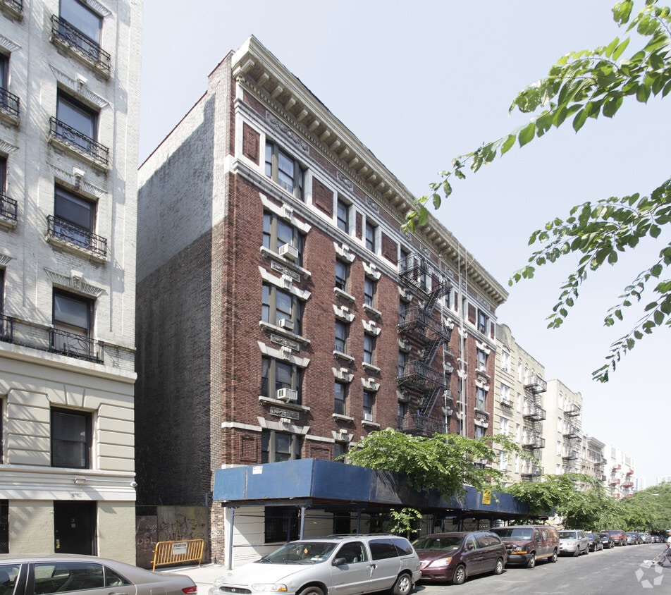
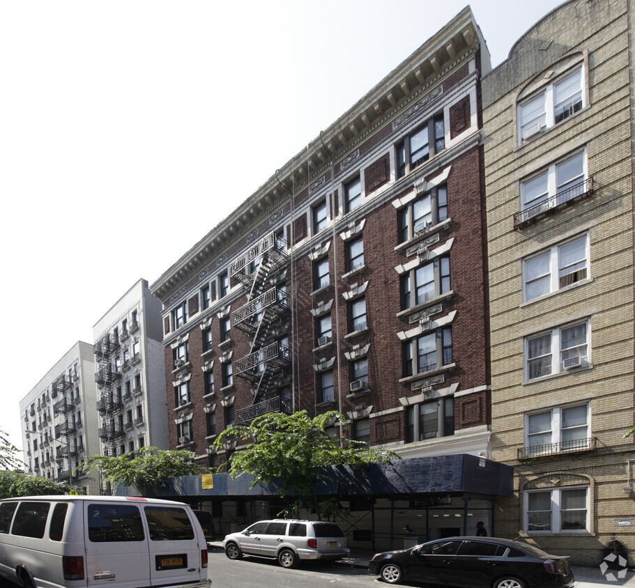

As a historic part of Harlem in Upper Manhattan, Sugar Hill is tied to the Harlem Renaissance, harboring the sense of community that came from the era. Almost entirely residential, in an urban sense, Sugar Hill houses a variety of prewar walk-up apartment buildings, rowhouses, and townhomes that give this neighborhood an architectural appeal. And if cost is an issue for you, Sugar Hill is known as one of the more affordable neighborhoods in the area.
Though the neighborhood offers a few pizza shops, cafes, and delis, there are many more restaurants and shops outside of Sugar Hill.
Learn more about living in Sugar Hill| Colleges & Universities | Distance | ||
|---|---|---|---|
| Colleges & Universities | Distance | ||
| Walk: | 18 min | 1.0 mi | |
| Drive: | 5 min | 1.5 mi | |
| Drive: | 4 min | 1.9 mi | |
| Drive: | 4 min | 1.9 mi |


Transportation options available in New York include 155 Street (A,C Line), located 0.2 mile from 610 W 152nd St. 610 W 152nd St is near LaGuardia, located 8.2 miles or 17 minutes away, and Newark Liberty International, located 21.8 miles or 27 minutes away.
| Transit / Subway | Distance | ||
|---|---|---|---|
| Transit / Subway | Distance | ||
|
|
Walk: | 4 min | 0.2 mi |
|
|
Walk: | 8 min | 0.4 mi |
|
|
Walk: | 9 min | 0.5 mi |
|
|
Walk: | 11 min | 0.6 mi |
|
|
Walk: | 14 min | 0.7 mi |
| Commuter Rail | Distance | ||
|---|---|---|---|
| Commuter Rail | Distance | ||
|
|
Drive: | 7 min | 2.1 mi |
| Drive: | 7 min | 2.3 mi | |
|
|
Drive: | 6 min | 2.6 mi |
|
|
Drive: | 6 min | 2.7 mi |
|
|
Drive: | 9 min | 3.0 mi |
| Airports | Distance | ||
|---|---|---|---|
| Airports | Distance | ||
|
LaGuardia
|
Drive: | 17 min | 8.2 mi |
|
Newark Liberty International
|
Drive: | 27 min | 21.8 mi |
Time and distance from 610 W 152nd St.
| Shopping Centers | Distance | ||
|---|---|---|---|
| Shopping Centers | Distance | ||
| Walk: | 23 min | 1.2 mi | |
| Drive: | 5 min | 1.5 mi | |
| Drive: | 4 min | 1.8 mi |
| Parks and Recreation | Distance | ||
|---|---|---|---|
| Parks and Recreation | Distance | ||
|
Northern Manhattan Parks
|
Walk: | 4 min | 0.2 mi |
|
Jackie Robinson Park
|
Walk: | 7 min | 0.4 mi |
|
Roger Morris Park
|
Walk: | 11 min | 0.6 mi |
|
Mill Pond Park
|
Drive: | 3 min | 1.1 mi |
|
Riverbank State Park
|
Drive: | 4 min | 1.8 mi |
| Hospitals | Distance | ||
|---|---|---|---|
| Hospitals | Distance | ||
| Drive: | 3 min | 1.2 mi | |
| Drive: | 4 min | 1.5 mi | |
| Drive: | 5 min | 1.6 mi |
| Military Bases | Distance | ||
|---|---|---|---|
| Military Bases | Distance | ||
| Drive: | 27 min | 11.2 mi | |
| Drive: | 23 min | 12.4 mi |
What Are Walk Score®, Transit Score®, and Bike Score® Ratings?
Walk Score® measures the walkability of any address. Transit Score® measures access to public transit. Bike Score® measures the bikeability of any address.
What is a Sound Score Rating?
A Sound Score Rating aggregates noise caused by vehicle traffic, airplane traffic and local sources


