
Halletts Point
10, 20, 30 Halletts Pt,
Astoria, NY 11102
$2,677 - $7,853
Studio - 2 Beds
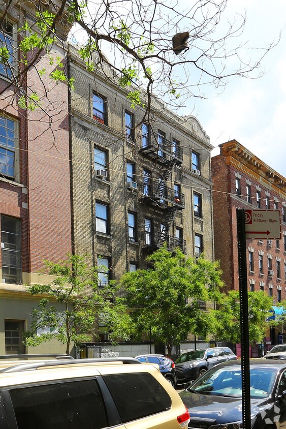
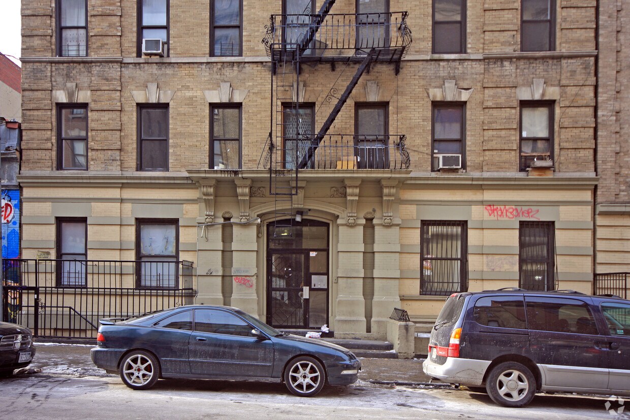
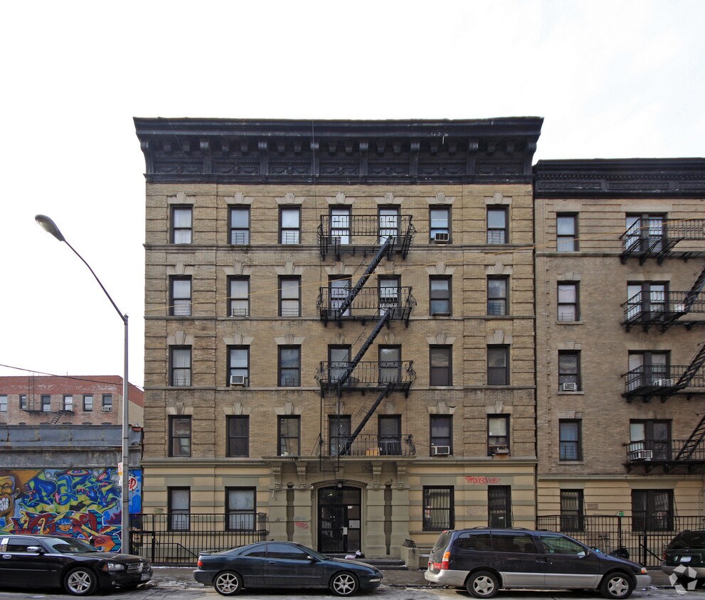
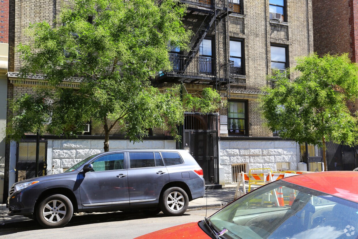

Experience New York living at 605 W 182nd St. This community is located in the Fort George area of New York. The professional leasing staff is available to help you find your new home. Select from 1 to 2 bedroom floor plans, then call for current pricing. Experience a better way of living at 605 W 182nd St. Contact us or stop in to learn more about our community.
605 W 182nd St is an apartment community located in New York County and the 10033 ZIP Code. This area is served by the New York City Geographic District # 6 attendance zone.
Situated between Inwood and Washington Heights, Fort George offers scenic views atop steep hills of both the Harlem and Hudson Rivers. Fort Tryon Park and Harlem River Park provide plenty of lush green space and abundant opportunities for outdoor recreation in addition to the nearby Fort Washington Park and Highbridge Park.
Fort George is largely residential, bringing a suburban feel to an urban locale. Many of the neighborhood’s homes are rentals, which boast relatively affordable rates. Yeshiva University’s main campus and a diverse mix of restaurants and cafes round out the landscape of Fort George. Convenient access to public transportation makes getting around from the neighborhood a breeze.
Learn more about living in Fort George| Colleges & Universities | Distance | ||
|---|---|---|---|
| Colleges & Universities | Distance | ||
| Walk: | 6 min | 0.3 mi | |
| Drive: | 7 min | 2.3 mi | |
| Drive: | 7 min | 2.7 mi | |
| Drive: | 8 min | 3.5 mi |


Transportation options available in New York include 181 Street (1 Line), located 0.1 mile from 605 W 182nd St. 605 W 182nd St is near LaGuardia, located 9.3 miles or 19 minutes away, and Newark Liberty International, located 20.4 miles or 23 minutes away.
| Transit / Subway | Distance | ||
|---|---|---|---|
| Transit / Subway | Distance | ||
|
|
Walk: | 1 min | 0.1 mi |
|
|
Walk: | 5 min | 0.3 mi |
|
|
Walk: | 9 min | 0.5 mi |
|
|
Walk: | 10 min | 0.5 mi |
|
|
Walk: | 14 min | 0.7 mi |
| Commuter Rail | Distance | ||
|---|---|---|---|
| Commuter Rail | Distance | ||
| Drive: | 5 min | 1.7 mi | |
|
|
Drive: | 5 min | 2.0 mi |
|
|
Drive: | 7 min | 2.3 mi |
|
|
Drive: | 5 min | 2.3 mi |
|
|
Drive: | 9 min | 4.1 mi |
| Airports | Distance | ||
|---|---|---|---|
| Airports | Distance | ||
|
LaGuardia
|
Drive: | 19 min | 9.3 mi |
|
Newark Liberty International
|
Drive: | 23 min | 20.4 mi |
Time and distance from 605 W 182nd St.
| Shopping Centers | Distance | ||
|---|---|---|---|
| Shopping Centers | Distance | ||
| Drive: | 6 min | 2.2 mi | |
| Drive: | 5 min | 2.4 mi | |
| Drive: | 7 min | 2.6 mi |
| Parks and Recreation | Distance | ||
|---|---|---|---|
| Parks and Recreation | Distance | ||
|
J Hood Wright Park
|
Walk: | 11 min | 0.6 mi |
|
Roberto Clemente State Park
|
Drive: | 7 min | 2.3 mi |
|
Highbridge Park
|
Drive: | 5 min | 2.7 mi |
|
Fort Washington Park
|
Drive: | 5 min | 3.0 mi |
|
Sherman Creek and Swindler Cove
|
Drive: | 7 min | 3.3 mi |
| Hospitals | Distance | ||
|---|---|---|---|
| Hospitals | Distance | ||
| Walk: | 16 min | 0.8 mi | |
| Drive: | 8 min | 3.3 mi | |
| Drive: | 8 min | 3.3 mi |
| Military Bases | Distance | ||
|---|---|---|---|
| Military Bases | Distance | ||
| Drive: | 20 min | 11.2 mi | |
| Drive: | 27 min | 12.5 mi |
What Are Walk Score®, Transit Score®, and Bike Score® Ratings?
Walk Score® measures the walkability of any address. Transit Score® measures access to public transit. Bike Score® measures the bikeability of any address.
What is a Sound Score Rating?
A Sound Score Rating aggregates noise caused by vehicle traffic, airplane traffic and local sources

605 W 182nd St
New York, NY 10033


