
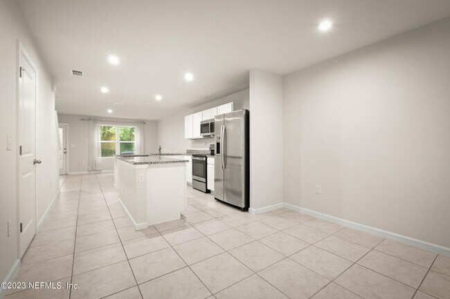
$1,495
3 Beds, 2 Baths, 1,200 sq ft
Condo for Rent
Bedrooms
3
Bathrooms
3
Square Feet
1,404 sq ft

---- SCHEDULE A SHOWING ONLINE AT: ----
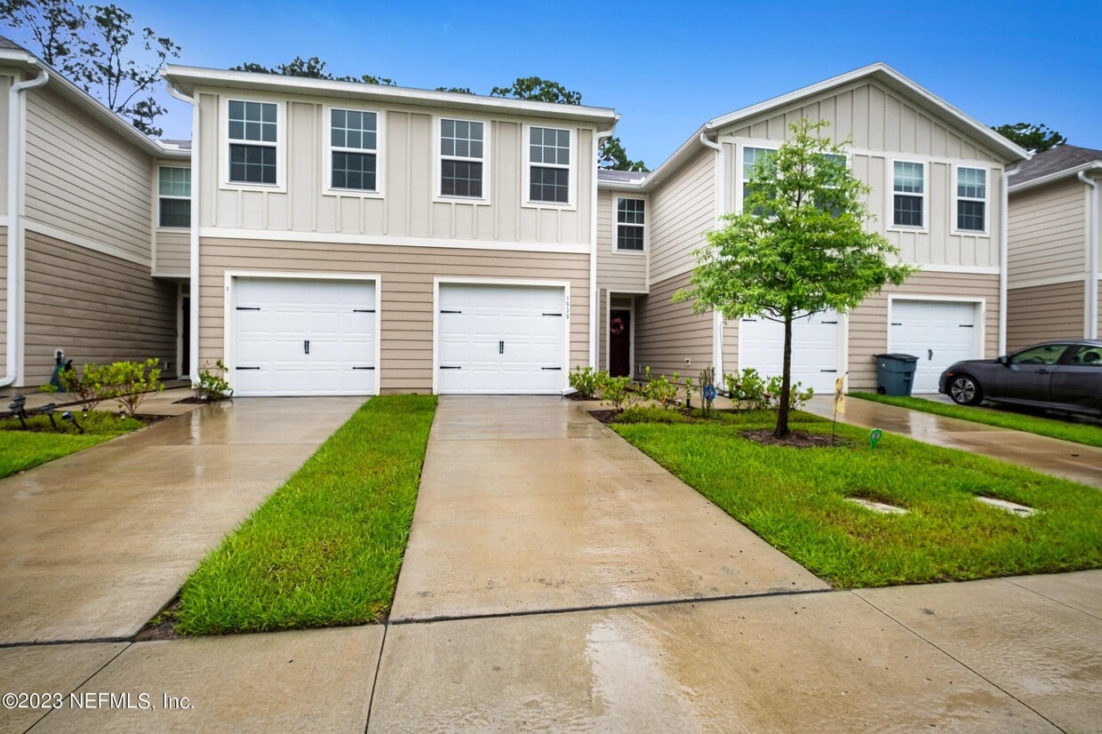
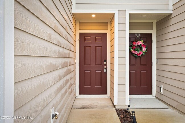
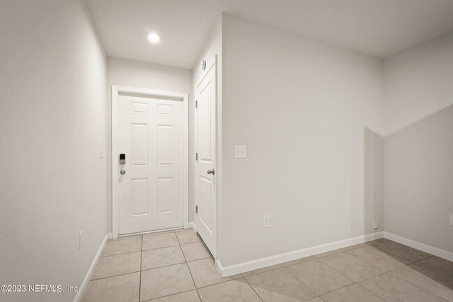
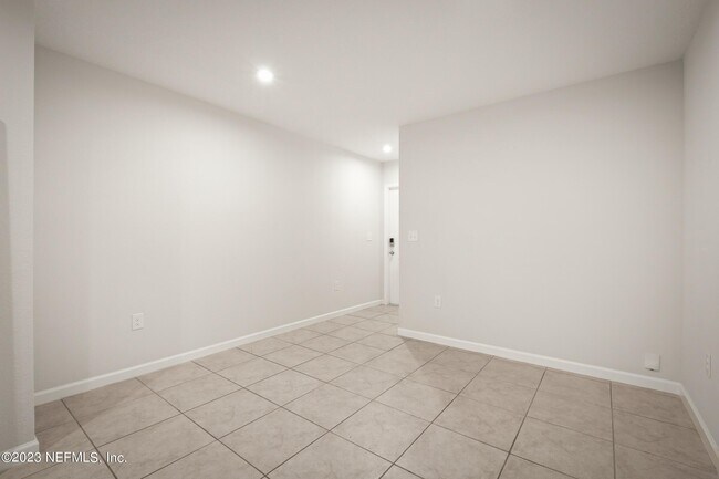
5939 Creekside Crossing Dr is a condo located in Duval County and the 32210 ZIP Code.
The Confederate Point neighborhood in Jacksonville is defined by its tree-lined streets, large-to-medium-sized single-family homes and apartment buildings. The popularity of the region owes much to its waterfront accessibility, with views of downtown Jacksonville and the privacy that it gives residents with its limited access.
Its boundaries consist of the Cedar River to the northeast, Butcher Pen Creek to the northwest, the Cedar Hills neighborhood to the west, Oak Hill and Wesconnett to the south, Fishing Creek along its east border and the Ortega Farms neighborhood further east. The downtown Jacksonville area lies about nine miles to the northeast of Confederate Point.
Learn more about living in Confederate Point| Colleges & Universities | Distance | ||
|---|---|---|---|
| Colleges & Universities | Distance | ||
| Drive: | 19 min | 9.8 mi | |
| Drive: | 21 min | 10.8 mi | |
| Drive: | 30 min | 15.2 mi | |
| Drive: | 30 min | 17.5 mi |
Transportation options available in Jacksonville include Convention Center, located 8.9 miles from 5939 Creekside Crossing Dr. 5939 Creekside Crossing Dr is near Jacksonville International, located 23.2 miles or 33 minutes away.
| Transit / Subway | Distance | ||
|---|---|---|---|
| Transit / Subway | Distance | ||
|
|
Drive: | 16 min | 8.9 mi |
|
|
Drive: | 18 min | 9.7 mi |
|
|
Drive: | 19 min | 9.8 mi |
| Drive: | 19 min | 9.8 mi | |
|
|
Drive: | 21 min | 11.7 mi |
| Commuter Rail | Distance | ||
|---|---|---|---|
| Commuter Rail | Distance | ||
|
|
Drive: | 20 min | 12.7 mi |
| Airports | Distance | ||
|---|---|---|---|
| Airports | Distance | ||
|
Jacksonville International
|
Drive: | 33 min | 23.2 mi |
Time and distance from 5939 Creekside Crossing Dr.
| Shopping Centers | Distance | ||
|---|---|---|---|
| Shopping Centers | Distance | ||
| Walk: | 4 min | 0.2 mi | |
| Walk: | 7 min | 0.4 mi | |
| Walk: | 11 min | 0.6 mi |
| Parks and Recreation | Distance | ||
|---|---|---|---|
| Parks and Recreation | Distance | ||
|
Ringhaver Park
|
Drive: | 5 min | 2.2 mi |
|
Fowler Regional Park
|
Drive: | 7 min | 4.4 mi |
|
McGirts Creek Park
|
Drive: | 11 min | 4.5 mi |
|
The Cummer Museum of Art and Gardens
|
Drive: | 16 min | 7.2 mi |
|
Crystal Springs Road Park
|
Drive: | 16 min | 8.9 mi |
| Hospitals | Distance | ||
|---|---|---|---|
| Hospitals | Distance | ||
| Drive: | 13 min | 6.2 mi | |
| Drive: | 14 min | 6.5 mi | |
| Drive: | 13 min | 7.0 mi |
| Military Bases | Distance | ||
|---|---|---|---|
| Military Bases | Distance | ||
| Drive: | 12 min | 6.1 mi | |
| Drive: | 17 min | 9.4 mi |


What Are Walk Score®, Transit Score®, and Bike Score® Ratings?
Walk Score® measures the walkability of any address. Transit Score® measures access to public transit. Bike Score® measures the bikeability of any address.
What is a Sound Score Rating?
A Sound Score Rating aggregates noise caused by vehicle traffic, airplane traffic and local sources
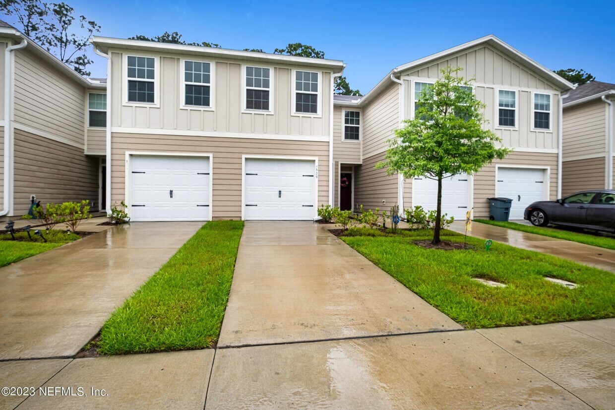
5939 Creekside Crossing Dr
Jacksonville, FL 32210