
$2,495 / Month
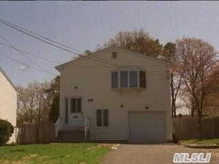
59 Poospatuck Ln
Mastic, NY 11950
2 Weeks Ago
Favorites
59 Poospatuck Ln

Favorites
Check Back Soon for Upcoming Availability
| Beds | Baths | Average SF |
|---|---|---|
| 5 Bedrooms 5 Bedrooms 5 Br | 2 Baths 2 Baths 2 Ba | — |
About This Property
Short Term And Month To Month Terms Considered. Rent With Option To Buy Considered. Owner Financing Available.
59 Poospatuck Ln is a house located in Suffolk County and the 11950 ZIP Code.
Location
Get Directions
Originally called Forge, Mastic is a quiet community situated on Long Island that’s only 20 miles from the beaches along Fire Island. Dense tree-lined streets house both apartment communities and single-family home rentals. In the northern end of the neighborhood along Mastic Road or Montauk Highway, you’ll find diners, ice cream counters, delis, and more. Mastic’s overall vibe belies its proximity to the beach, but that’s what locals like. This quiet community is perfect for Long Island renters who aren’t keen on the buzz of the Big Apple to the west, or who want a relatively affordable suburban community not far from the beach.
Learn more about living in Mastic
Education
| Colleges & Universities | Distance | ||
|---|---|---|---|
| Colleges & Universities | Distance | ||
| Drive: | 20 min | 11.9 mi | |
| Drive: | 22 min | 12.0 mi | |
| Drive: | 26 min | 15.4 mi | |
| Drive: | 35 min | 22.2 mi |
59 Poospatuck Ln is within 20 minutes or 11.9 miles from St Joseph's Coll., Long Island. It is also near SUNY Suffolk Co., Eastern and SUNY Suffolk Co., Ammerman.
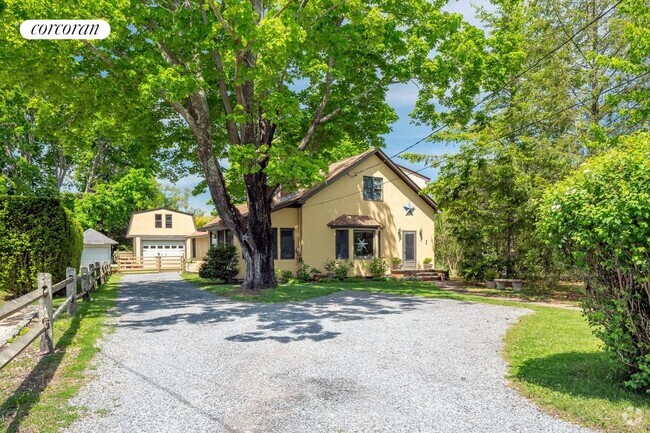
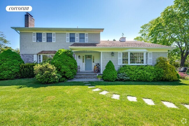
You May Also Like
Similar Rentals Nearby


What Are Walk Score®, Transit Score®, and Bike Score® Ratings?
Walk Score® measures the walkability of any address. Transit Score® measures access to public transit. Bike Score® measures the bikeability of any address.
What is a Sound Score Rating?
A Sound Score Rating aggregates noise caused by vehicle traffic, airplane traffic and local sources

59 Poospatuck Ln
Mastic, NY 11950