$3,600 / Month
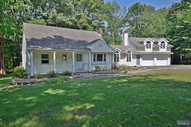
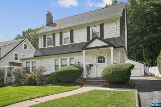
59 Lilline Ln
Upper Saddle River, NJ 07458
2 Weeks Ago
Favorites
59 Lilline Ln

Favorites
Check Back Soon for Upcoming Availability
| Beds | Baths | Average SF |
|---|---|---|
| 4 Bedrooms 4 Bedrooms 4 Br | 2 Baths 2 Baths 2 Ba | — |
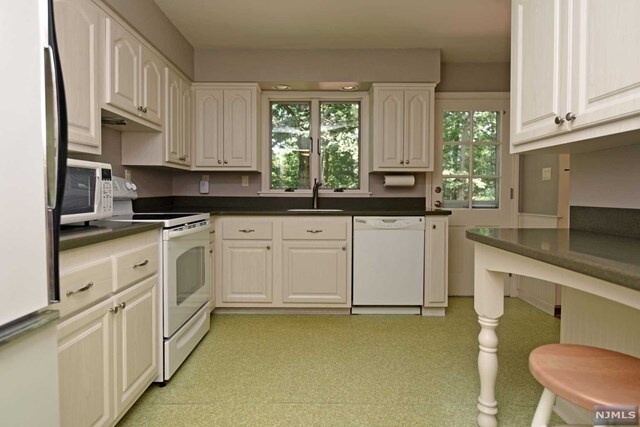
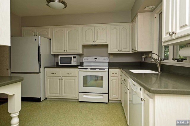
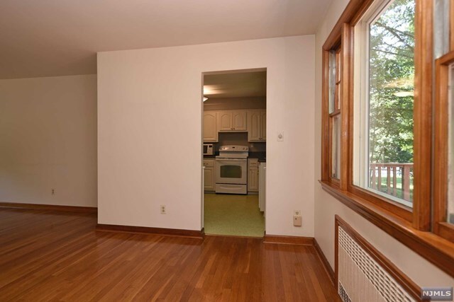
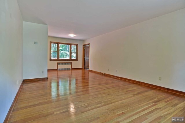
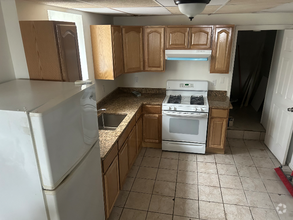
About This Property
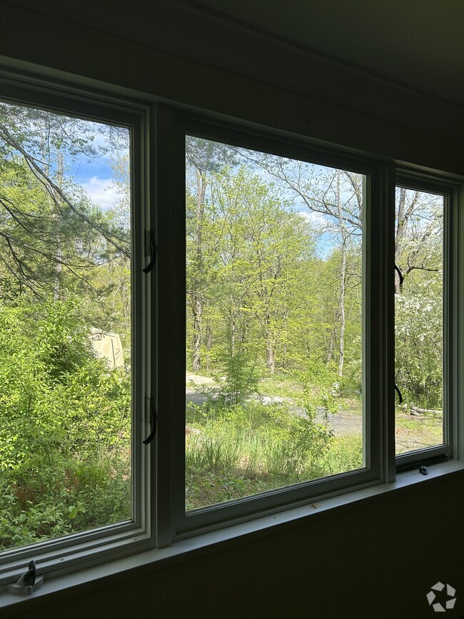
Large, well maintained home on quiet tree lined street. Start the school year in award winning Upper Saddle River & Northern Highlands school district. Huge great room with high ceilings. Sprawling deck. Large 2 car attached garage. Tons of storage. Pets conditionally welcome. Tenant responsible for mowing grass, snow removal, all utilities, and first $150 of any repairs. NTN credit check and interview required. First available date 9/1.
59 Lilline Ln is a house located in Bergen County and the 07458 ZIP Code. This area is served by the Upper Saddle River attendance zone.
Location
Get Directions
Education
| Colleges & Universities | Distance | ||
|---|---|---|---|
| Colleges & Universities | Distance | ||
| Drive: | 12 min | 6.4 mi | |
| Drive: | 18 min | 6.8 mi | |
| Drive: | 20 min | 10.2 mi | |
| Drive: | 23 min | 10.5 mi |
59 Lilline Ln is within 12 minutes or 6.4 miles from Ramapo College of New Jersey. It is also near SUNY Rockland and Bergen C.C., Paramus.
Schools


Public Elementary School
Grades 3-5
374 Students
Attendance Zone
Public Elementary School
Grades PK-2
358 Students
Attendance Zone
Public Middle School
Grades 6-8
381 Students
Attendance Zone
Public High School
Grades 9-12
1,287 Students
Attendance Zone
Private Elementary & Middle School
Grades PK-8
246 Students
Nearby
Private High School
Grades 9-12
790 Students
Nearby
School data provided by
 The GreatSchools Rating helps parents compare schools within a state based on a variety of school quality indicators and provides a helpful picture of how effectively each school serves all of its students. Ratings are on a scale of 1 (below average) to 10 (above average) and can include test scores, college readiness, academic progress, advanced courses, equity, discipline and attendance data. We also advise parents to visit schools, consider other information on school performance and programs, and consider family needs as part of the school selection process.
View GreatSchools Rating Methodology
View GreatSchools Rating Methodology
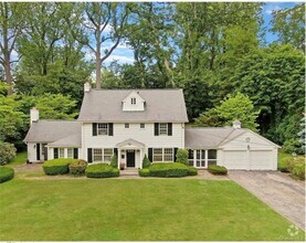
You May Also Like
Similar Rentals Nearby

What Are Walk Score®, Transit Score®, and Bike Score® Ratings?
Walk Score® measures the walkability of any address. Transit Score® measures access to public transit. Bike Score® measures the bikeability of any address.
What is a Sound Score Rating?
A Sound Score Rating aggregates noise caused by vehicle traffic, airplane traffic and local sources

59 Lilline Ln
Upper Saddle River, NJ 07458