1 / 10


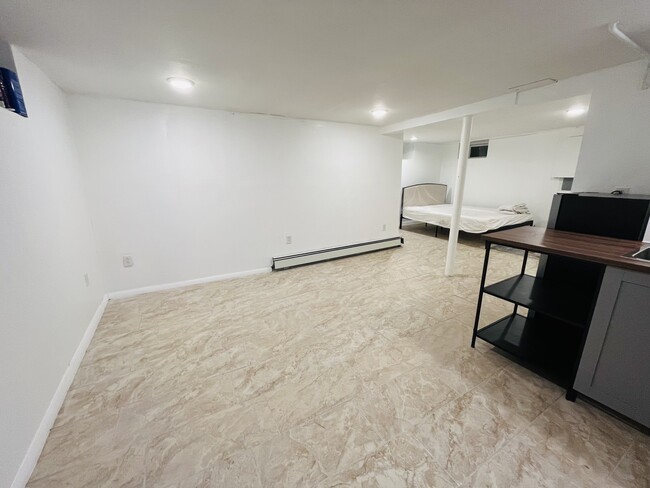
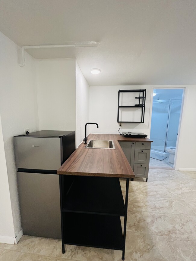
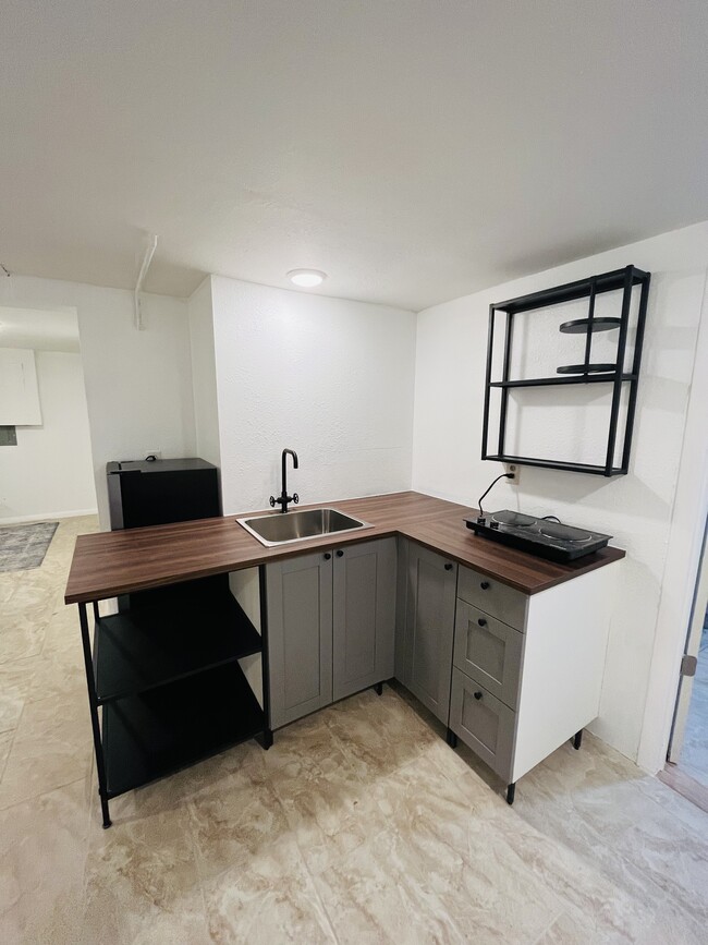
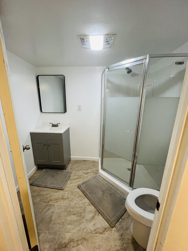

| Beds | Baths | Average SF |
|---|---|---|
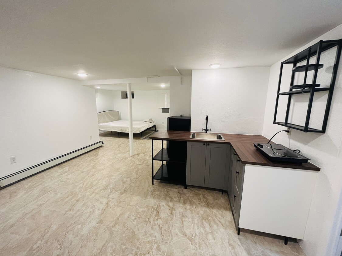
| Studio Studio 0 Br | 1 Bath 1 Bath 1 Ba | 500 SF |
58 Clark St is an apartment community located in Worcester County and the 01606 ZIP Code.
A quiet, residential neighborhood in Worcester, Massachusetts, Burncoat combines a tight-knit, neighborly feel with the energy of up-and-coming Worcester and the varied options of nearby Boston. The excellent schools, close community, and low crime rate make this neighborhood an excellent option for people looking for apartments near Boston.
Learn more about living in Burncoat| Colleges & Universities | Distance | ||
|---|---|---|---|
| Colleges & Universities | Distance | ||
| Walk: | 17 min | 0.9 mi | |
| Drive: | 6 min | 2.8 mi | |
| Drive: | 8 min | 3.6 mi | |
| Drive: | 12 min | 4.4 mi |
Scores provided by
Traffic
-Airport
-Businesses
-Scores provided by
HowLoud What is a Sound Score Rating? A Sound Score Rating aggregates noise caused by vehicle traffic, airplane traffic and local sources. How It WorksThe Asher
100 Chestnut St
Ashland, MA 01721
$2,413 - $4,055 Total Monthly Price
1-2 Br 12 Month Lease 17.5 mi
Sovereign & Saxony Apartments
23 Auburn St
Framingham, MA 01701
$2,075 - $2,199 Total Monthly Price
1-2 Br 12 Month Lease 18.2 mi
The Buckley Apartments
480 Franklin St
Framingham, MA 01702
$2,549 - $3,783 Total Monthly Price
1-3 Br 18.3 mi
Pets Allowed Fitness Center Pool Walk-In Closets Stainless Steel Appliances Lounge
Pets Allowed Fitness Center Pool Dishwasher Refrigerator In Unit Washer & Dryer
Pets Allowed Fitness Center Dishwasher Refrigerator Kitchen In Unit Washer & Dryer
Pets Allowed Fitness Center Pool Dishwasher Refrigerator Walk-In Closets
Pets Allowed Maintenance on site Elevator

What Are Walk Score®, Transit Score®, and Bike Score® Ratings?
Walk Score® measures the walkability of any address. Transit Score® measures access to public transit. Bike Score® measures the bikeability of any address.
What is a Sound Score Rating?
A Sound Score Rating aggregates noise caused by vehicle traffic, airplane traffic and local sources.
58 Clark St
Worcester, MA 01606


