
The Retreat at Walnut Creek
1459 Creekside Dr,
Walnut Creek, CA 94596
$2,343 - $4,153
Studio - 2 Beds
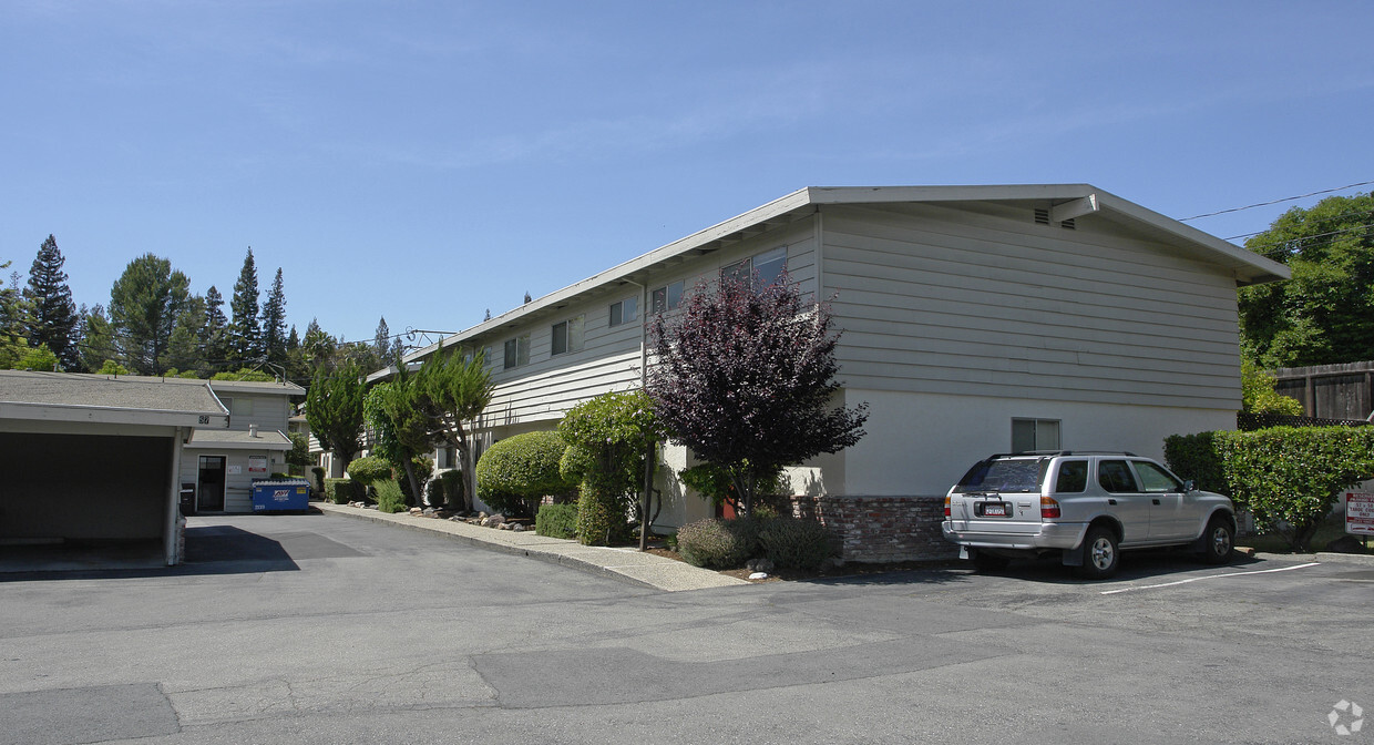
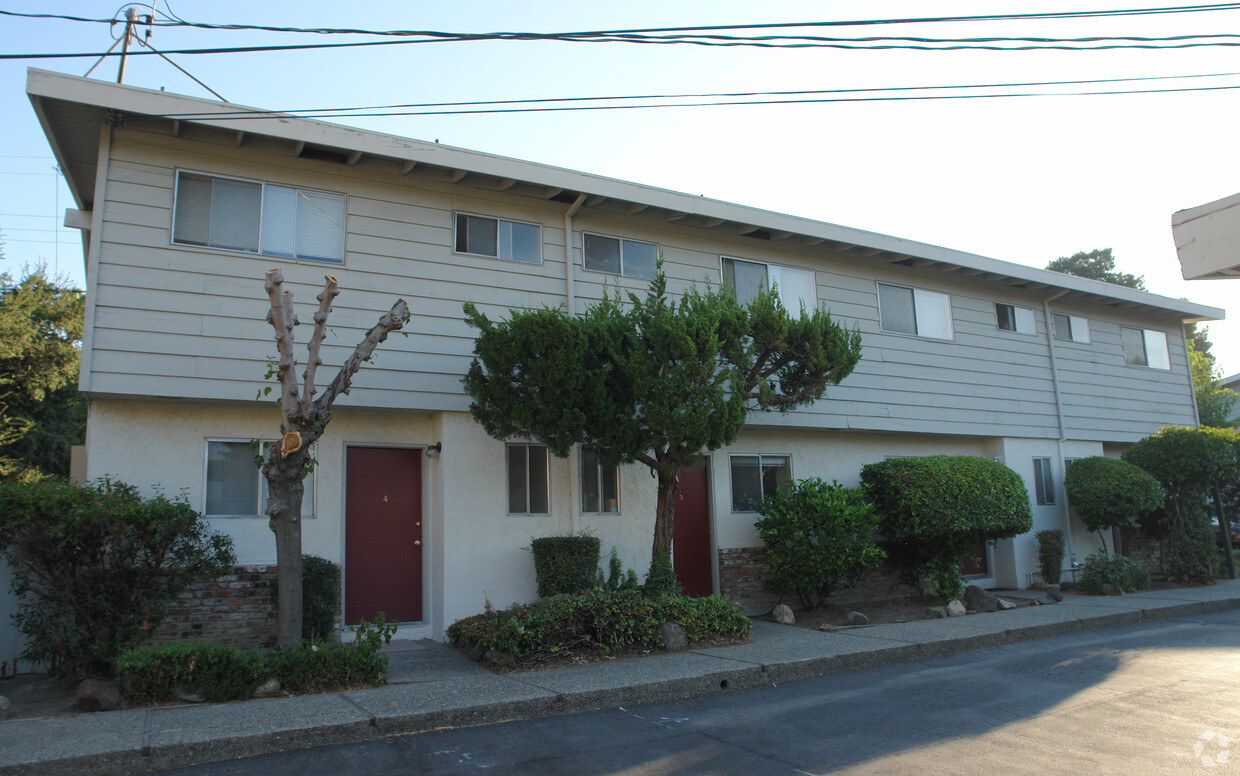
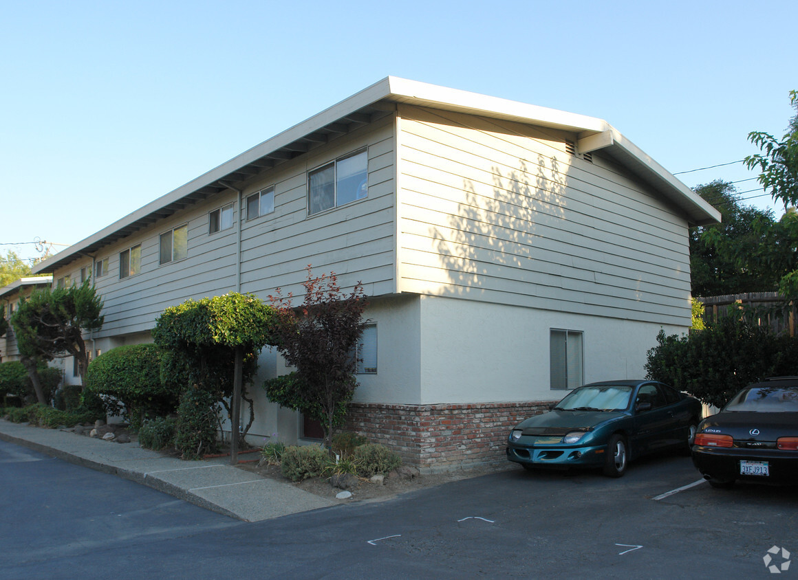
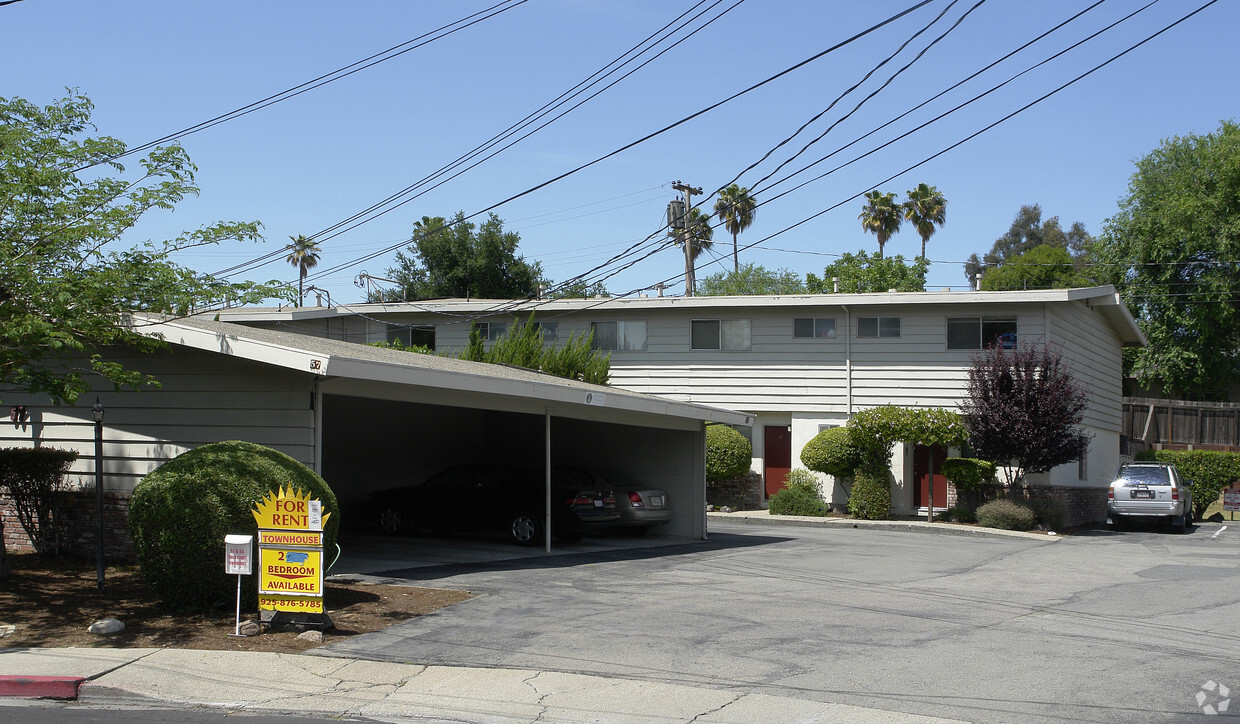
Experience Walnut Creek living at 57 Tahoe Ct. You'll find this community in the Lower Lakewood area of Walnut Creek. Let the knowledgeable leasing staff show you everything this community has to offer. Give us a call now to check the current floor plan availability.
57 Tahoe Ct is an apartment community located in Contra Costa County and the 94596 ZIP Code. This area is served by the Walnut Creek Elementary School District attendance zone.
Nestled about 25 miles east of San Francisco, Lower Lakewood is a lively residential area attracting renters looking for a peaceful place to establish roots in the Bay Area. Renters have the choice of a plethora of apartments in a variety of styles. While most of Lower Lakewood is residential, the neighborhood is immediately east of the heart of Walnut Creek. This downtown district is known for its premier shopping and dining choices along Main Street. Broadway Plaza, an outdoor mall featuring 80 shops and a variety of restaurants, is the crown jewel of the upscale shopping district. Outside of the buzzing shops of Downtown Walnut Creek, Lower Lakewood residents enjoy visiting community parks like Civic Park, and adventure seekers enjoy hiking along the Briones to Mount Diablo Regional Trail that eventually leads into the Diablo Foothills Regional Park.
Learn more about living in Lower LakewoodCompare neighborhood and city base rent averages by bedroom.
| Lower Lakewood | Walnut Creek, CA | |
|---|---|---|
| Studio | $1,635 | $2,434 |
| 1 Bedroom | $2,131 | $2,540 |
| 2 Bedrooms | $2,287 | $3,029 |
| 3 Bedrooms | $3,017 | $4,113 |
| Colleges & Universities | Distance | ||
|---|---|---|---|
| Colleges & Universities | Distance | ||
| Drive: | 14 min | 6.1 mi | |
| Drive: | 17 min | 6.8 mi | |
| Drive: | 24 min | 14.3 mi | |
| Drive: | 28 min | 18.1 mi |


Transportation options available in Walnut Creek include Walnut Creek, located 1.6 miles from 57 Tahoe Ct. 57 Tahoe Ct is near Metro Oakland International, located 24.1 miles or 34 minutes away, and San Francisco International, located 36.1 miles or 52 minutes away.
| Transit / Subway | Distance | ||
|---|---|---|---|
| Transit / Subway | Distance | ||
|
|
Drive: | 4 min | 1.6 mi |
|
|
Drive: | 6 min | 2.4 mi |
|
|
Drive: | 7 min | 4.1 mi |
|
|
Drive: | 13 min | 6.9 mi |
|
|
Drive: | 14 min | 8.6 mi |
| Commuter Rail | Distance | ||
|---|---|---|---|
| Commuter Rail | Distance | ||
|
|
Drive: | 19 min | 12.4 mi |
| Drive: | 24 min | 15.5 mi | |
|
|
Drive: | 24 min | 17.3 mi |
|
|
Drive: | 26 min | 18.7 mi |
|
|
Drive: | 37 min | 22.0 mi |
| Airports | Distance | ||
|---|---|---|---|
| Airports | Distance | ||
|
Metro Oakland International
|
Drive: | 34 min | 24.1 mi |
|
San Francisco International
|
Drive: | 52 min | 36.1 mi |
Scores provided by
Traffic
-Airport
-Businesses
-Scores provided by
HowLoud What is a Sound Score Rating? A Sound Score Rating aggregates noise caused by vehicle traffic, airplane traffic and local sources. How It WorksTime and distance from 57 Tahoe Ct.
| Shopping Centers | Distance | ||
|---|---|---|---|
| Shopping Centers | Distance | ||
| Walk: | 10 min | 0.6 mi | |
| Walk: | 10 min | 0.6 mi | |
| Walk: | 11 min | 0.6 mi |
| Parks and Recreation | Distance | ||
|---|---|---|---|
| Parks and Recreation | Distance | ||
|
Contra Costa Canal Regional Trail
|
Walk: | 8 min | 0.4 mi |
|
Howe Homestead Park
|
Walk: | 10 min | 0.5 mi |
|
Civic Park
|
Walk: | 15 min | 0.8 mi |
|
Butterfly Habitat Gardens
|
Walk: | 15 min | 0.8 mi |
|
Lar Rieu Park
|
Walk: | 16 min | 0.8 mi |
| Hospitals | Distance | ||
|---|---|---|---|
| Hospitals | Distance | ||
| Walk: | 18 min | 0.9 mi | |
| Drive: | 3 min | 1.4 mi | |
| Drive: | 12 min | 7.4 mi |
| Military Bases | Distance | ||
|---|---|---|---|
| Military Bases | Distance | ||
| Drive: | 31 min | 12.3 mi | |
| Drive: | 21 min | 14.4 mi | |
| Drive: | 34 min | 17.2 mi |
Pets Allowed Fitness Center In Unit Washer & Dryer Walk-In Closets Stainless Steel Appliances Hardwood Floors EV Charging
Pets Allowed Fitness Center In Unit Washer & Dryer Stainless Steel Appliances Business Center Package Service Elevator
What Are Walk Score®, Transit Score®, and Bike Score® Ratings?
Walk Score® measures the walkability of any address. Transit Score® measures access to public transit. Bike Score® measures the bikeability of any address.
What is a Sound Score Rating?
A Sound Score Rating aggregates noise caused by vehicle traffic, airplane traffic and local sources.


