6 Beds, 5 Baths, 2,400 sq ft
55-57-57 Osceola St
Boston, MA 02136
-
Bedrooms
4
-
Bathrooms
1
-
Square Feet
1,080 sq ft
-
Available
Available Now
Highlights
- Medical Services
- Wood Flooring
- Porch
- No Cooling
- Ceramic Tile Flooring
- Property is near schools

About This Home
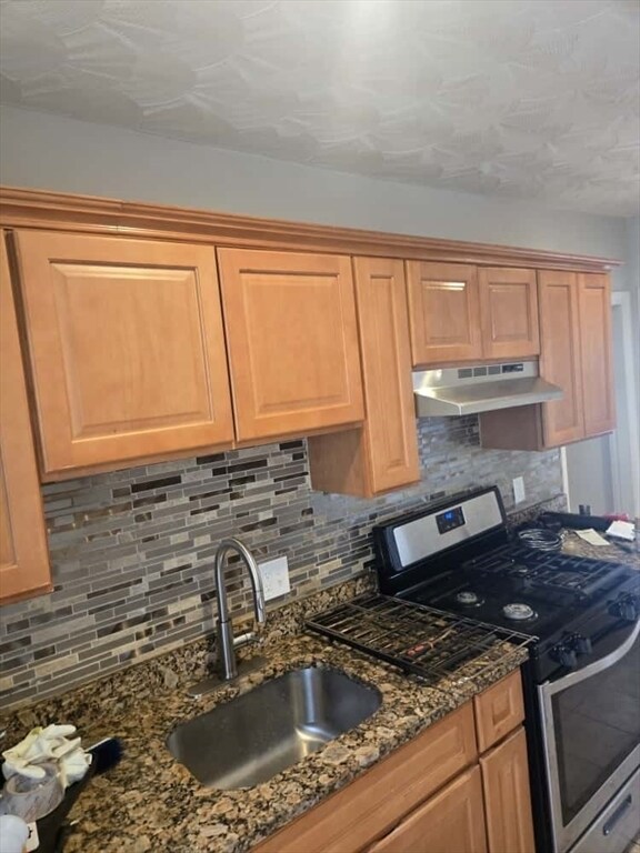
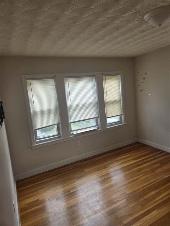
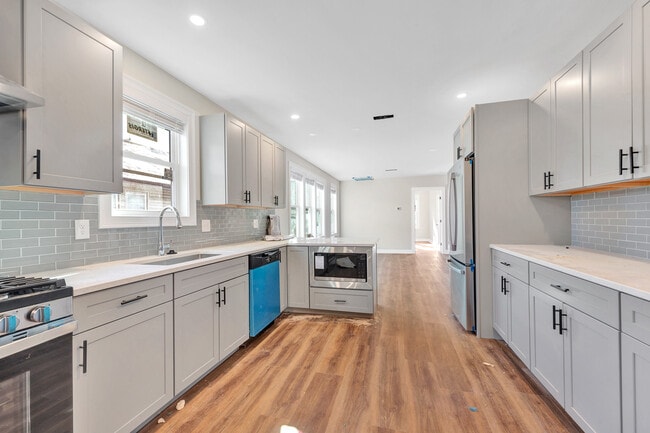
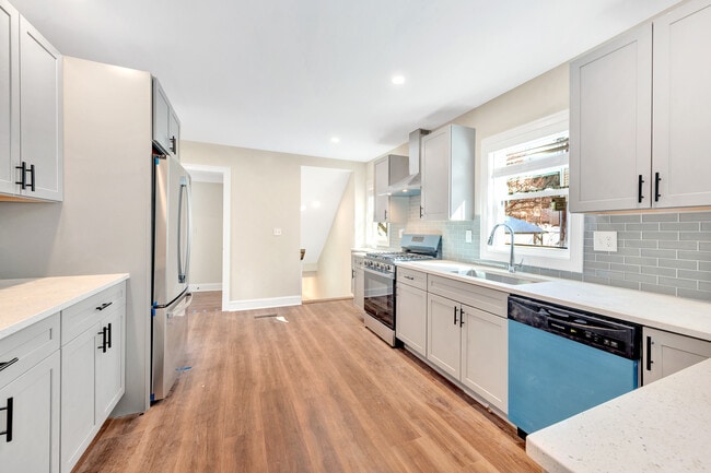
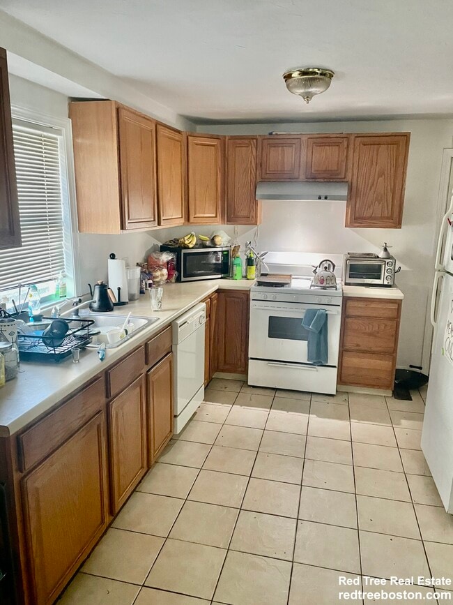
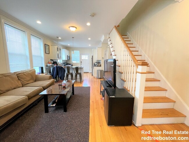
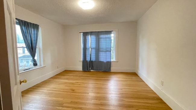
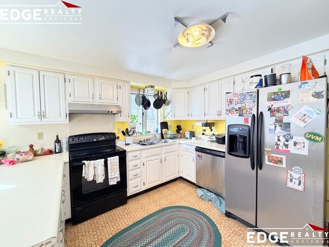
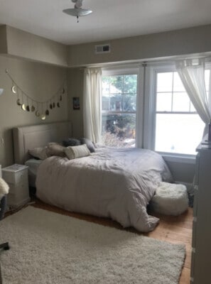
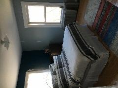
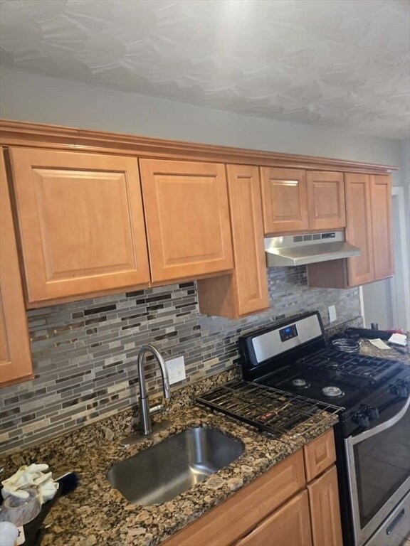
DELEADED 4 BEDROOM APARTMENT WITH LIVING ROOM IN A GREAT SECLUDED AREA,HYDE PARK,MA. APARTMENT FEATURES: GAS COOKING,GAS HEAT,NEWER KITCHEN WITH AMPLE CABINETS,FRESHLY PAINTED,COIN-OPERATED LAUNDRY IN THE BASEMENT,READY NOW FOR OCCUPANCY. SECTION 8 WELCOME. MLS# 73450421
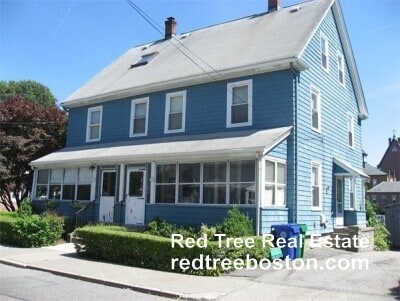
55-57-57 Osceola St is a townhome located in Suffolk County and the 02136 ZIP Code. This area is served by the Boston Public Schools attendance zone.
Home Details
Year Built
Bedrooms and Bathrooms
Flooring
Home Design
Interior Spaces
Listing and Financial Details
Location
Lot Details
Outdoor Features
Utilities
Community Details
Amenities
Overview
Pet Policy
Fees and Policies
The fees listed below are community-provided and may exclude utilities or add-ons. All payments are made directly to the property and are non-refundable unless otherwise specified. Use the Cost Calculator to determine costs based on your needs.
-
One-Time Basics
-
Due at Move-In
-
Security Deposit - RefundableCharged per unit.$3,300
-
-
Due at Move-In
Property Fee Disclaimer: Based on community-supplied data and independent market research. Subject to change without notice. May exclude fees for mandatory or optional services and usage-based utilities.
Contact
- Listed by Jean Raymond | Precision Home Realty LLC
- Phone Number
-
Source
 MLS Property Information Network
The Neponset River Reservation expands along the southeastern border of the West Street – River Street neighborhood. It’s a great local green space with a beach and two-mile bike trail called Quincy RiverWalk – the perfect little oasis in such a large city!
And speaking of green spaces, residents enjoy having the George Wright Golf Course, Ross Playground, and Sherrin Woods nearby. You’ll find everything from cafes to fast-causal restaurants down the road in Hyde Park. You’re just nine miles outside of downtown Boston, and 14 miles from the international airport. Public transit stops are plentiful and can take you nearly anywhere you need to go in Boston.
Learn more about living in West Street-River Street- Porch
| Colleges & Universities | Distance | ||
|---|---|---|---|
| Colleges & Universities | Distance | ||
| Drive: | 9 min | 3.1 mi | |
| Drive: | 12 min | 6.3 mi | |
| Drive: | 13 min | 6.7 mi | |
| Drive: | 14 min | 6.8 mi |
 The GreatSchools Rating helps parents compare schools within a state based on a variety of school quality indicators and provides a helpful picture of how effectively each school serves all of its students. Ratings are on a scale of 1 (below average) to 10 (above average) and can include test scores, college readiness, academic progress, advanced courses, equity, discipline and attendance data. We also advise parents to visit schools, consider other information on school performance and programs, and consider family needs as part of the school selection process.
View GreatSchools Rating Methodology
Data provided by GreatSchools.org © 2026. All rights reserved.
Transportation options available in Boston include Mattapan Station, located 0.9 mile from 55-57-57 Osceola St. 55-57-57 Osceola St is near General Edward Lawrence Logan International, located 10.8 miles or 21 minutes away.
| Transit / Subway | Distance | ||
|---|---|---|---|
| Transit / Subway | Distance | ||
|
|
Walk: | 17 min | 0.9 mi |
|
|
Drive: | 4 min | 1.6 mi |
|
|
Drive: | 4 min | 1.7 mi |
|
|
Drive: | 6 min | 2.2 mi |
|
|
Drive: | 7 min | 2.6 mi |
| Commuter Rail | Distance | ||
|---|---|---|---|
| Commuter Rail | Distance | ||
| Drive: | 3 min | 1.3 mi | |
|
|
Drive: | 4 min | 1.6 mi |
|
|
Drive: | 4 min | 1.6 mi |
|
|
Drive: | 5 min | 2.2 mi |
|
|
Drive: | 7 min | 2.9 mi |
| Airports | Distance | ||
|---|---|---|---|
| Airports | Distance | ||
|
General Edward Lawrence Logan International
|
Drive: | 21 min | 10.8 mi |
Time and distance from 55-57-57 Osceola St.
| Shopping Centers | Distance | ||
|---|---|---|---|
| Shopping Centers | Distance | ||
| Walk: | 10 min | 0.6 mi | |
| Walk: | 15 min | 0.8 mi | |
| Drive: | 4 min | 1.6 mi |
| Parks and Recreation | Distance | ||
|---|---|---|---|
| Parks and Recreation | Distance | ||
|
Mass Audubon's Boston Nature Center and Wildlife Sanctuary
|
Drive: | 6 min | 2.4 mi |
|
Stony Brook Reservation
|
Drive: | 9 min | 3.1 mi |
|
Franklin Park Zoo
|
Drive: | 7 min | 3.6 mi |
|
Arnold Arboretum of Harvard University
|
Drive: | 11 min | 4.0 mi |
|
Mass Audubon's Blue Hills Trailside Museum
|
Drive: | 10 min | 4.9 mi |
| Hospitals | Distance | ||
|---|---|---|---|
| Hospitals | Distance | ||
| Drive: | 5 min | 2.3 mi | |
| Drive: | 7 min | 3.3 mi | |
| Drive: | 10 min | 5.4 mi |
You May Also Like
Similar Rentals Nearby
-
$5,500Total Monthly PriceTotal Monthly Price NewPrices include all required monthly fees.12 Month LeaseTownhome for Rent
-
$5,995Total Monthly PriceTotal Monthly Price NewPrices include all required monthly fees.12 Month LeaseTownhome for Rent
6 Beds, 6 Baths, 2,240 sq ft
-
-
-
-
4 Beds$4,800Total Monthly PriceTotal Monthly Price NewPrices include all required monthly fees.Townhome for Rent
-
-
-
-
What Are Walk Score®, Transit Score®, and Bike Score® Ratings?
Walk Score® measures the walkability of any address. Transit Score® measures access to public transit. Bike Score® measures the bikeability of any address.
What is a Sound Score Rating?
A Sound Score Rating aggregates noise caused by vehicle traffic, airplane traffic and local sources
