
The Juniper
1081 Juniper St NE,
Atlanta, GA 30309
$1,870 - $19,015
Studio - 3 Beds
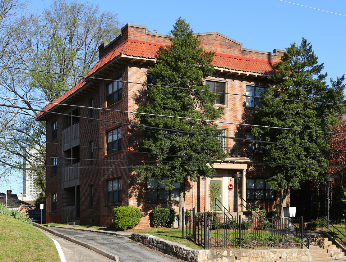
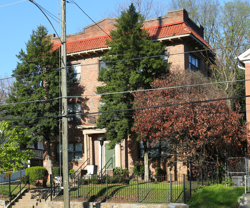
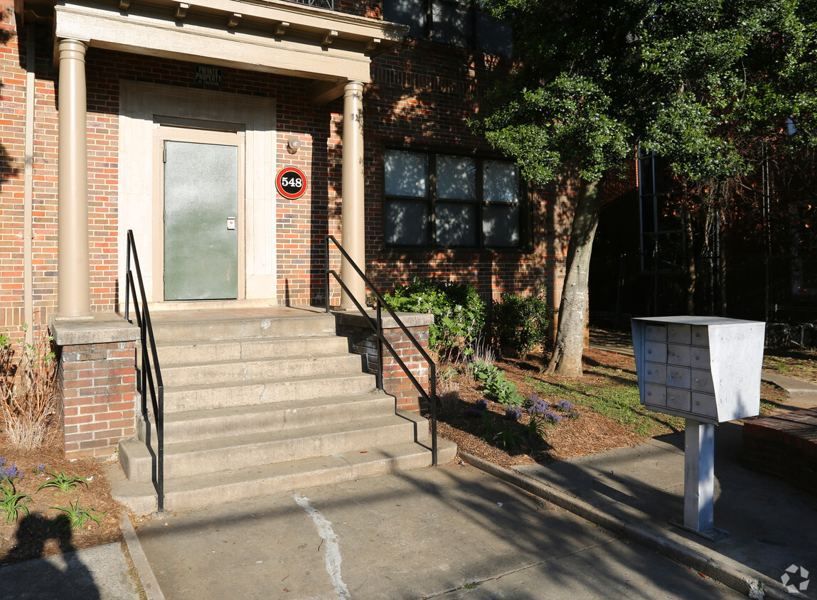
Come enjoy Atlanta living at 548 NE Boulevard. The 548 Ne Boulevard location in Atlanta's 30308 area has so much to offer its residents. Make sure you to see the available floorplan options. From amenities to floorplan options, the team of leasing professionals is ready to help you in finding the perfect fit. Find your new home at 548 NE Boulevard. Contact or drop by to find out current pricing.
548 Ne Boulevard is an apartment community located in Fulton County and the 30308 ZIP Code. This area is served by the Atlanta Public Schools attendance zone.
Old Fourth Ward sits on Atlanta's eastside, just a short walk from Downtown and directly below Midtown, putting two of the city's busiest corridors within easy reach. The neighborhood is anchored by Ponce de Leon Avenue to the north and borders the Atlanta Beltline's Eastside Trail to the east, which connects it to Inman Park, Poncey-Highland, and beyond. Daily life here includes walkable streets alongside a solid mix of dining, retail, and green space. A walk score of 90 reflects what residents already know: most errands are easy to handle on foot, and grocery stores are less than ten minutes away.
Renters will find a wide range of housing options throughout O4W, from converted industrial loft buildings and adaptive reuse structures along the Beltline corridor to mid-rise and high-rise apartment communities near Ponce City Market. Townhomes and single-family rentals are most common in the southern section of the neighborhood, particularly south of Freedom Parkway.
Learn more about living in Old Fourth WardCompare neighborhood and city base rent averages by bedroom.
| Old Fourth Ward | Atlanta, GA | |
|---|---|---|
| Studio | $1,505 | $1,517 |
| 1 Bedroom | $2,127 | $1,639 |
| 2 Bedrooms | $3,006 | $1,936 |
| 3 Bedrooms | $4,480 | $2,264 |
| Colleges & Universities | Distance | ||
|---|---|---|---|
| Colleges & Universities | Distance | ||
| Drive: | 4 min | 1.9 mi | |
| Drive: | 7 min | 2.4 mi | |
| Drive: | 7 min | 3.0 mi | |
| Drive: | 7 min | 3.8 mi |


Transportation options available in Atlanta include North Avenue, located 1.1 miles from 548 NE Boulevard. 548 NE Boulevard is near Hartsfield - Jackson Atlanta International, located 11.0 miles or 18 minutes away.
| Transit / Subway | Distance | ||
|---|---|---|---|
| Transit / Subway | Distance | ||
|
|
Walk: | 20 min | 1.1 mi |
|
|
Drive: | 2 min | 1.1 mi |
|
|
Drive: | 2 min | 1.3 mi |
|
|
Drive: | 2 min | 1.3 mi |
|
|
Drive: | 2 min | 1.4 mi |
| Commuter Rail | Distance | ||
|---|---|---|---|
| Commuter Rail | Distance | ||
|
|
Drive: | 7 min | 3.7 mi |
| Airports | Distance | ||
|---|---|---|---|
| Airports | Distance | ||
|
Hartsfield - Jackson Atlanta International
|
Drive: | 18 min | 11.0 mi |
Scores provided by
Traffic
-Airport
-Businesses
-Scores provided by
HowLoud What is a Sound Score Rating? A Sound Score Rating aggregates noise caused by vehicle traffic, airplane traffic and local sources. How It WorksTime and distance from 548 NE Boulevard.
| Shopping Centers | Distance | ||
|---|---|---|---|
| Shopping Centers | Distance | ||
| Walk: | 2 min | 0.1 mi | |
| Walk: | 13 min | 0.7 mi | |
| Walk: | 13 min | 0.7 mi |
| Parks and Recreation | Distance | ||
|---|---|---|---|
| Parks and Recreation | Distance | ||
|
Atlanta BeltLine Eastside Trail
|
Walk: | 17 min | 0.9 mi |
|
Georgia Conservancy
|
Drive: | 3 min | 1.4 mi |
|
Trees Atlanta TreeHouse
|
Drive: | 3 min | 1.4 mi |
|
Imagine It! The Children's Museum of Atlanta
|
Drive: | 3 min | 1.6 mi |
|
Piedmont Park
|
Drive: | 3 min | 1.7 mi |
| Hospitals | Distance | ||
|---|---|---|---|
| Hospitals | Distance | ||
| Walk: | 9 min | 0.5 mi | |
| Walk: | 19 min | 1.0 mi | |
| Drive: | 4 min | 2.0 mi |
| Military Bases | Distance | ||
|---|---|---|---|
| Military Bases | Distance | ||
| Drive: | 13 min | 6.6 mi | |
| Drive: | 24 min | 12.3 mi | |
| Drive: | 29 min | 17.3 mi |
Pets Allowed Fitness Center Pool Dishwasher In Unit Washer & Dryer Balcony EV Charging
What Are Walk Score®, Transit Score®, and Bike Score® Ratings?
Walk Score® measures the walkability of any address. Transit Score® measures access to public transit. Bike Score® measures the bikeability of any address.
What is a Sound Score Rating?
A Sound Score Rating aggregates noise caused by vehicle traffic, airplane traffic and local sources.


