$1,100
/ Month
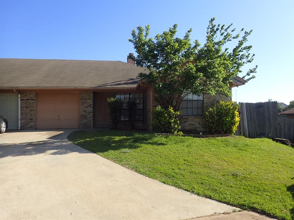
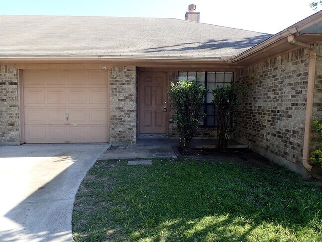
544 Signal Hill Ct S
Fort Worth, TX 76112
2 Weeks Ago
|
Edit
Favorites
544 Signal Hill Ct S

Favorites
Check Back Soon for Upcoming Availability
| Beds | Baths | Average SF |
|---|---|---|
| 2 Bedrooms 2 Bedrooms 2 Br | 2 Baths 2 Baths 2 Ba | 1,115 SF |
Fees and Policies
The fees below are based on community-supplied data and may exclude additional fees and utilities.
- Dogs Allowed
-
Fees not specified
- Cats Allowed
-
Fees not specified
About This Property
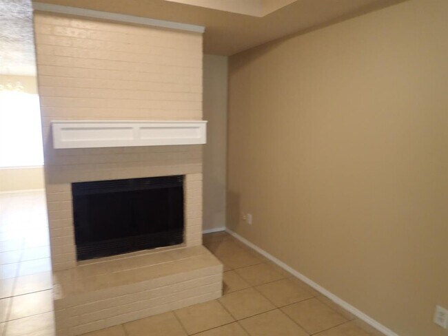
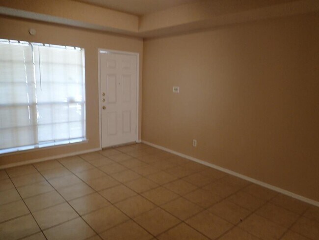
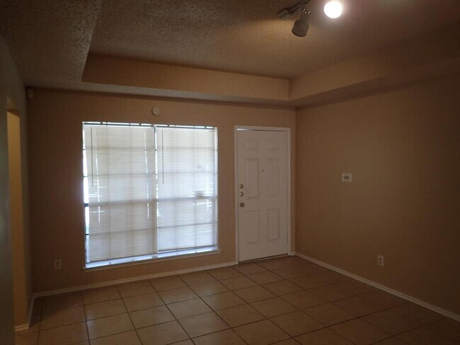
Hard to find duplex 2 bedroom, 2 bath with one car garage. Walk in closet. Application Fee $55, Submit TAR Application with copy of DL and 2 recent pay stubs. Application and Rental Qualification are in media. We have several applications.
544 Signal Hill Ct S is a townhome located in Tarrant County and the 76112 ZIP Code. This area is served by the Fort Worth Independent attendance zone.
Location
Get Directions
Located at the crossroads of Interstates 30 and 820, Woodhaven relishes its proximity to the Dallas-Fort Worth metroplex’s best attractions. Along with its own restaurants and shopping center, boutiques, entertainment venues, and luscious parks can also be found in every direction outside of Woodhaven. Downtown Fort Worth, the University of Texas at Arlington, AT&T Stadium, and Six Flags of Texas are just a few of the major points of interest that are proximate to Woodhaven. Woodhaven is also 30 minutes from the Dallas-Forth Worth International Airport, making it perfect for those who travel frequently. The neighborhood features affordable to mid-range charming single-family homes and modern apartment complexes available for rent.
Learn more about living in WoodhavenBelow are rent ranges for similar nearby apartments
Education
| Colleges & Universities | Distance | ||
|---|---|---|---|
| Colleges & Universities | Distance | ||
| Drive: | 12 min | 6.6 mi | |
| Drive: | 12 min | 6.8 mi | |
| Drive: | 13 min | 8.2 mi | |
| Drive: | 17 min | 9.6 mi |
544 Signal Hill Ct S is within 12 minutes or 6.6 miles from Texas Wesleyan University. It is also near Tarrant Co. Coll., North East and Tarrant Co. Coll., Trinity.
Schools


Charter Elementary School
Grades PK-5
448 Students
Attendance Zone
Public Middle School
Grades 6-8
759 Students
Attendance Zone
Public High School
Grades 9-12
1,194 Students
Attendance Zone
Private Elementary, Middle & High School
Grades PK-12
486 Students
Nearby
School data provided by
 The GreatSchools Rating helps parents compare schools within a state based on a variety of school quality indicators and provides a helpful picture of how effectively each school serves all of its students. Ratings are on a scale of 1 (below average) to 10 (above average) and can include test scores, college readiness, academic progress, advanced courses, equity, discipline and attendance data. We also advise parents to visit schools, consider other information on school performance and programs, and consider family needs as part of the school selection process.
View GreatSchools Rating Methodology
Data provided by GreatSchools.org © 2025. All rights reserved.
View GreatSchools Rating Methodology
Data provided by GreatSchools.org © 2025. All rights reserved.
Transportation options available in Fort Worth include Smithfield Station, located 7.5 miles from 544 Signal Hill Ct S. 544 Signal Hill Ct S is near Dallas-Fort Worth International, located 19.3 miles or 27 minutes away, and Dallas Love Field, located 28.0 miles or 38 minutes away.
| Transit / Subway | Distance | ||
|---|---|---|---|
| Transit / Subway | Distance | ||
| Drive: | 15 min | 7.5 mi | |
| Drive: | 11 min | 7.6 mi | |
| Drive: | 13 min | 7.7 mi | |
| Drive: | 12 min | 7.7 mi | |
| Drive: | 16 min | 8.3 mi |
| Commuter Rail | Distance | ||
|---|---|---|---|
| Commuter Rail | Distance | ||
|
|
Drive: | 5 min | 2.2 mi |
|
|
Drive: | 6 min | 3.1 mi |
|
|
Drive: | 12 min | 5.9 mi |
|
|
Drive: | 11 min | 7.6 mi |
|
|
Drive: | 11 min | 7.6 mi |
| Airports | Distance | ||
|---|---|---|---|
| Airports | Distance | ||
|
Dallas-Fort Worth International
|
Drive: | 27 min | 19.3 mi |
|
Dallas Love Field
|
Drive: | 38 min | 28.0 mi |
Time and distance from 544 Signal Hill Ct S.
| Shopping Centers | Distance | ||
|---|---|---|---|
| Shopping Centers | Distance | ||
| Walk: | 8 min | 0.4 mi | |
| Walk: | 10 min | 0.5 mi | |
| Walk: | 11 min | 0.6 mi |
544 Signal Hill Ct S has 3 shopping centers within 0.6 mile, which is about a 11-minute walk. The miles and minutes will be for the farthest away property.
| Parks and Recreation | Distance | ||
|---|---|---|---|
| Parks and Recreation | Distance | ||
|
Botanical Research Institute of Texas
|
Drive: | 12 min | 8.0 mi |
|
River Legacy Parks
|
Drive: | 15 min | 8.7 mi |
|
River Legacy Living Science Center
|
Drive: | 14 min | 8.7 mi |
|
UT Arlington Planetarium
|
Drive: | 17 min | 9.7 mi |
|
Trinity Trails
|
Drive: | 16 min | 10.0 mi |
544 Signal Hill Ct S has 5 parks within 10.0 miles, including Botanical Research Institute of Texas, River Legacy Living Science Center, and River Legacy Parks.
| Hospitals | Distance | ||
|---|---|---|---|
| Hospitals | Distance | ||
| Drive: | 9 min | 4.9 mi | |
| Drive: | 10 min | 6.1 mi | |
| Drive: | 12 min | 7.8 mi |
544 Signal Hill Ct S has 3 hospitals within 7.8 miles, the nearest is Medical City North Hills which is 4.9 miles away and a 9 minute drive.
| Military Bases | Distance | ||
|---|---|---|---|
| Military Bases | Distance | ||
| Drive: | 25 min | 15.2 mi | |
| Drive: | 27 min | 17.8 mi |
544 Signal Hill Ct S is 15.2 miles from NAS Fort Worth Joint Reserve Base, and is convenient to other military bases, including Dallas Naval Air Station.
You May Also Like
Similar Rentals Nearby


What Are Walk Score®, Transit Score®, and Bike Score® Ratings?
Walk Score® measures the walkability of any address. Transit Score® measures access to public transit. Bike Score® measures the bikeability of any address.
What is a Sound Score Rating?
A Sound Score Rating aggregates noise caused by vehicle traffic, airplane traffic and local sources

544 Signal Hill Ct S
Fort Worth, TX 76112