
TENTEN Campus Glendale
414 N Orange St,
Glendale, CA 91203
$3,128 - $5,277 Total Monthly Price
Studio - 2 Beds


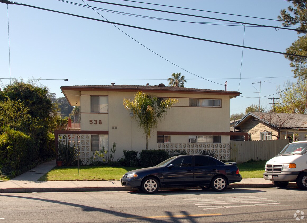
Find your new place at 538 E Palmer Ave in Glendale, CA. This property is situated on E. Palmer Ave in the 91205 area of Glendale. The leasing staff is excited to help you find the best floor plan for your lifestyle. Contact us or stop by today.
538 E Palmer Ave is an apartment community located in Los Angeles County and the 91205 ZIP Code. This area is served by the Los Angeles Unified Rocp School District attendance zone.
Glendale’s Adams Hill neighborhood is stunning. Spanish-style homes with tile roofs dot the palm-tree-laden hills with sculpted mountains visible in the background. This picture-perfect neighborhood is located on the south side of Downtown Glendale, roughly between Chevy Chase Drive and Cathedral Drive.
This neighborhood sits seven miles directly north of Downtown Los Angeles, with Interstate 5 leading right into the city. Griffith Park, home of the Los Angeles Zoo and several other renowned attractions, is to the west of the neighborhood.
The famous Forest Lawn Memorial Park is partially located here. This cemetery houses a world-renowned art museum, awe-inspiring statuary, and the Hall of the Crucifixion-Resurrection in addition to serving as the final resting place of several notable celebrities.
Learn more about living in Adams HillCompare neighborhood and city base rent averages by bedroom.
| Adams Hill | Glendale, CA | |
|---|---|---|
| Studio | $1,492 | $2,014 |
| 1 Bedroom | $1,645 | $2,097 |
| 2 Bedrooms | $2,000 | $2,659 |
| 3 Bedrooms | $1,836 | $3,448 |
| Colleges & Universities | Distance | ||
|---|---|---|---|
| Colleges & Universities | Distance | ||
| Drive: | 8 min | 3.0 mi | |
| Drive: | 7 min | 3.3 mi | |
| Drive: | 10 min | 5.1 mi | |
| Drive: | 16 min | 8.4 mi |


Transportation options available in Glendale include Vermont/Sunset Station, located 4.3 miles from 538 E Palmer Ave. 538 E Palmer Ave is near Bob Hope, located 11.4 miles or 18 minutes away, and Los Angeles International, located 21.4 miles or 36 minutes away.
| Transit / Subway | Distance | ||
|---|---|---|---|
| Transit / Subway | Distance | ||
|
|
Drive: | 8 min | 4.3 mi |
|
|
Drive: | 10 min | 4.4 mi |
|
|
Drive: | 11 min | 4.5 mi |
|
|
Drive: | 9 min | 4.9 mi |
|
|
Drive: | 11 min | 5.6 mi |
| Commuter Rail | Distance | ||
|---|---|---|---|
| Commuter Rail | Distance | ||
|
|
Drive: | 3 min | 1.3 mi |
|
|
Drive: | 10 min | 5.9 mi |
|
|
Drive: | 15 min | 7.0 mi |
|
|
Drive: | 14 min | 7.3 mi |
| Drive: | 17 min | 11.4 mi |
| Airports | Distance | ||
|---|---|---|---|
| Airports | Distance | ||
|
Bob Hope
|
Drive: | 18 min | 11.4 mi |
|
Los Angeles International
|
Drive: | 36 min | 21.4 mi |
Scores provided by
Traffic
-Airport
-Businesses
-Scores provided by
HowLoud What is a Sound Score Rating? A Sound Score Rating aggregates noise caused by vehicle traffic, airplane traffic and local sources. How It WorksTime and distance from 538 E Palmer Ave.
| Shopping Centers | Distance | ||
|---|---|---|---|
| Shopping Centers | Distance | ||
| Walk: | 5 min | 0.3 mi | |
| Walk: | 6 min | 0.3 mi | |
| Walk: | 6 min | 0.3 mi |
| Parks and Recreation | Distance | ||
|---|---|---|---|
| Parks and Recreation | Distance | ||
|
Marsh Park
|
Drive: | 8 min | 3.2 mi |
|
Elyria Canyon Park
|
Drive: | 9 min | 3.7 mi |
|
Bird Sanctuary
|
Drive: | 9 min | 3.9 mi |
|
Los Angeles Zoo
|
Drive: | 13 min | 4.4 mi |
|
Griffith Observatory
|
Drive: | 13 min | 5.1 mi |
| Hospitals | Distance | ||
|---|---|---|---|
| Hospitals | Distance | ||
| Walk: | 17 min | 0.9 mi | |
| Drive: | 6 min | 2.5 mi | |
| Drive: | 9 min | 4.3 mi |
| Military Bases | Distance | ||
|---|---|---|---|
| Military Bases | Distance | ||
| Drive: | 33 min | 22.9 mi |
Pets Allowed Fitness Center Pool In Unit Washer & Dryer Clubhouse Balcony
What Are Walk Score®, Transit Score®, and Bike Score® Ratings?
Walk Score® measures the walkability of any address. Transit Score® measures access to public transit. Bike Score® measures the bikeability of any address.
What is a Sound Score Rating?
A Sound Score Rating aggregates noise caused by vehicle traffic, airplane traffic and local sources.
538 E Palmer Ave
Glendale, CA 91205


