$2,450 / Month
52 Port Norfolk St
Boston, MA 02122
Today
Favorites
617-830-2648
-
Bedrooms
1
-
Bathrooms
1
-
Square Feet
--
-
Available
Available Sep 1
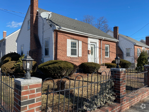
52 Port Norfolk St

Favorites
About This Home
Available Sep 1
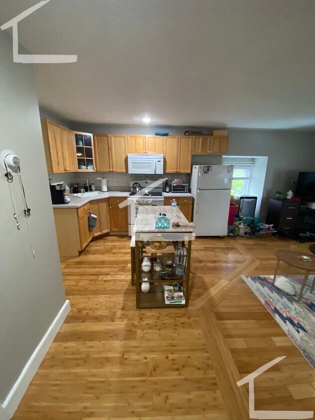
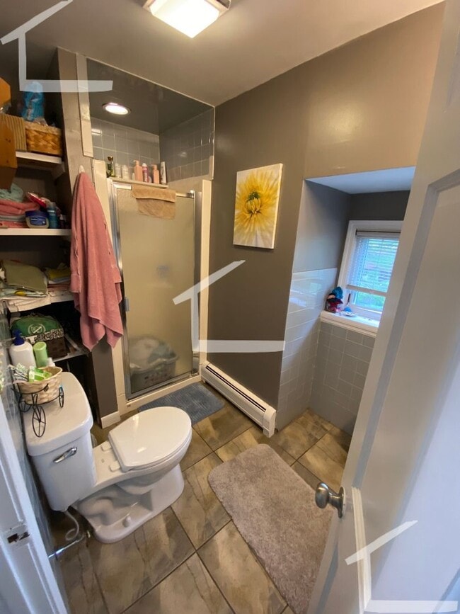
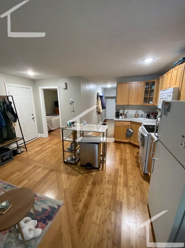
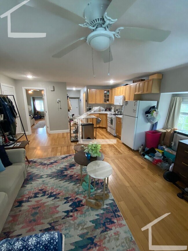
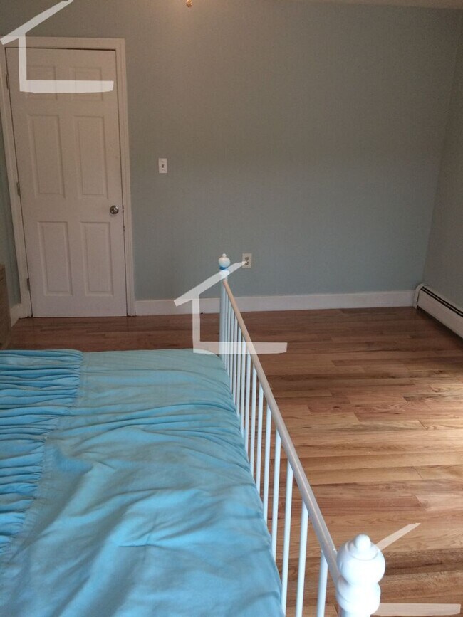
Available 9/1/2025. Huge 1 bedroom unit located near I-93 on a 3rd floor of a 3 family (top floor unit). This unit has off-street parking, a HUGE private rooftop deck and laundry hook ups. Cats are ok.
52 Port Norfolk St is a house located in Suffolk County and the 02122 ZIP Code. This area is served by the Boston Public Schools attendance zone.
* Price shown is base rent and may not include non-optional fees and utilities.
Price, availability, fees, and any applicable rent special are subject to change without notice.
* Square footage definitions vary. Displayed square footage is approximate.
Contact
- Listed by Modern Real Estate (AD) | Modern Real Estate (AD)
- Phone Number
- Contact
Location
Get Directions
Boston is the iconic capital and largest city of Massachusetts, known for its historical significance, top-notch culinary scene, and beautiful Bayfront views. Nestled on Massachusetts Bay, Boston is home to numerous universities including Harvard University, Boston College, Northeastern University, the University of Massachusetts-Boston, the Berklee College of Music, and the Benjamin Franklin Institute of Technology. In fact, there are 54 colleges and universities in the Boston area, dating all the way back to 1636 when Harvard was established.
Boston played a crucial role in the American Revolution, being the site of major events like the Boston Massacre and the Boston Tea Party. This city is filled with historic sites, landmarks, and architecture like the Boston Common, the first park in the country, dating back to 1624. Locals frequent Freedom Trail for its walking park that begins at the park and leads past several historic sites, including Paul Revere’s House and Faneuil Hall.
Learn more about living in Boston
Education
| Colleges & Universities | Distance | ||
|---|---|---|---|
| Colleges & Universities | Distance | ||
| Drive: | 8 min | 3.2 mi | |
| Drive: | 11 min | 5.7 mi | |
| Drive: | 12 min | 5.7 mi | |
| Drive: | 11 min | 5.9 mi |
52 Port Norfolk St is within 8 minutes or 3.2 miles from UMass Boston. It is also near Northeastern University and Wentworth Inst. of Technology.
Schools


Public Elementary School
Grades PK-6
316 Students
Attendance Zone
Public Elementary & Middle School
Grades PK-8
836 Students
Attendance Zone
Public Middle & High School
Grades 6-12
871 Students
Attendance Zone
Public Middle School
Grades 6-8
250 Students
Attendance Zone
Public High School
Grades 9-12
347 Students
Attendance Zone
Public High School
Grades 9-12
42 Students
Attendance Zone
Private Elementary & Middle School
Grades PK-8
1,052 Students
Nearby
Private High School
Grades 9-12
270 Students
Nearby
School data provided by
 The GreatSchools Rating helps parents compare schools within a state based on a variety of school quality indicators and provides a helpful picture of how effectively each school serves all of its students. Ratings are on a scale of 1 (below average) to 10 (above average) and can include test scores, college readiness, academic progress, advanced courses, equity, discipline and attendance data. We also advise parents to visit schools, consider other information on school performance and programs, and consider family needs as part of the school selection process.
View GreatSchools Rating Methodology
View GreatSchools Rating Methodology
Transportation options available in Boston include North Quincy Station, located 1.8 miles from 52 Port Norfolk St. 52 Port Norfolk St is near General Edward Lawrence Logan International, located 8.6 miles or 16 minutes away.
| Transit / Subway | Distance | ||
|---|---|---|---|
| Transit / Subway | Distance | ||
|
|
Drive: | 5 min | 1.8 mi |
|
|
Drive: | 4 min | 1.9 mi |
|
|
Drive: | 6 min | 1.9 mi |
|
|
Drive: | 6 min | 2.3 mi |
|
|
Drive: | 6 min | 2.4 mi |
| Commuter Rail | Distance | ||
|---|---|---|---|
| Commuter Rail | Distance | ||
| Drive: | 9 min | 2.9 mi | |
|
|
Drive: | 6 min | 3.1 mi |
|
|
Drive: | 8 min | 3.1 mi |
| Drive: | 7 min | 3.3 mi | |
|
|
Drive: | 7 min | 3.6 mi |
| Airports | Distance | ||
|---|---|---|---|
| Airports | Distance | ||
|
General Edward Lawrence Logan International
|
Drive: | 16 min | 8.6 mi |
Time and distance from 52 Port Norfolk St.
| Shopping Centers | Distance | ||
|---|---|---|---|
| Shopping Centers | Distance | ||
| Walk: | 15 min | 0.8 mi | |
| Drive: | 4 min | 1.2 mi | |
| Drive: | 5 min | 1.8 mi |
52 Port Norfolk St has 3 shopping centers within 1.8 miles, which is about a 5-minute walk. The miles and minutes will be for the farthest away property.
| Parks and Recreation | Distance | ||
|---|---|---|---|
| Parks and Recreation | Distance | ||
|
Squantum Point Park
|
Drive: | 8 min | 2.8 mi |
|
Dorchester Shores Reservation
|
Drive: | 7 min | 3.2 mi |
|
Adams National Historical Park
|
Drive: | 9 min | 3.8 mi |
|
Franklin Park Zoo
|
Drive: | 9 min | 4.9 mi |
|
Lower Neponset River Trail
|
Drive: | 9 min | 5.1 mi |
52 Port Norfolk St has 5 parks within 5.1 miles, including Squantum Point Park, Dorchester Shores Reservation, and Lower Neponset River Trail.
| Hospitals | Distance | ||
|---|---|---|---|
| Hospitals | Distance | ||
| Drive: | 4 min | 2.1 mi | |
| Drive: | 9 min | 4.3 mi | |
| Drive: | 8 min | 4.7 mi |
52 Port Norfolk St has 3 hospitals within 4.7 miles, the nearest is Carney Hospital which is 2.1 miles away and a 4 minute drive.
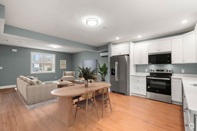
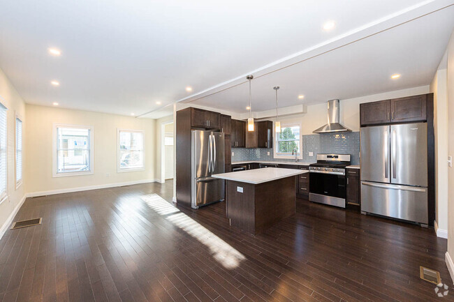
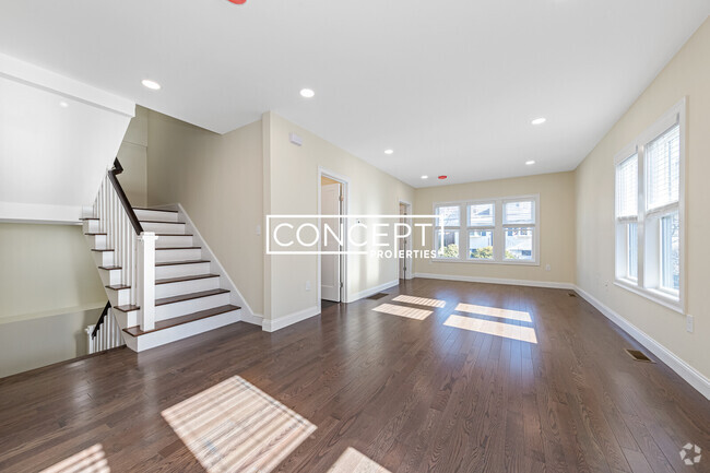
You May Also Like
Similar Rentals Nearby

What Are Walk Score®, Transit Score®, and Bike Score® Ratings?
Walk Score® measures the walkability of any address. Transit Score® measures access to public transit. Bike Score® measures the bikeability of any address.
What is a Sound Score Rating?
A Sound Score Rating aggregates noise caused by vehicle traffic, airplane traffic and local sources

52 Port Norfolk St
Boston, MA 02122