1213 Walnut
1213 Walnut St,
Philadelphia, PA 19107
$2,045 - $7,340
Studio - 2 Beds
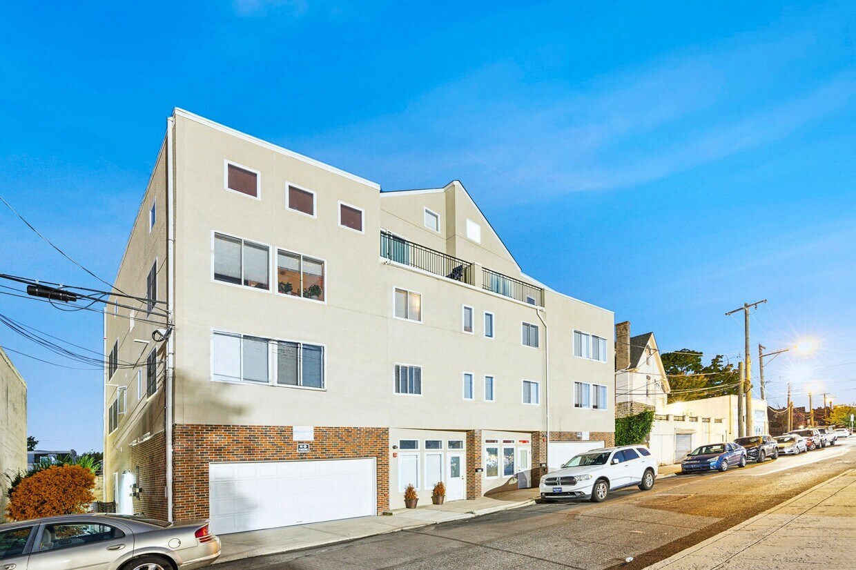
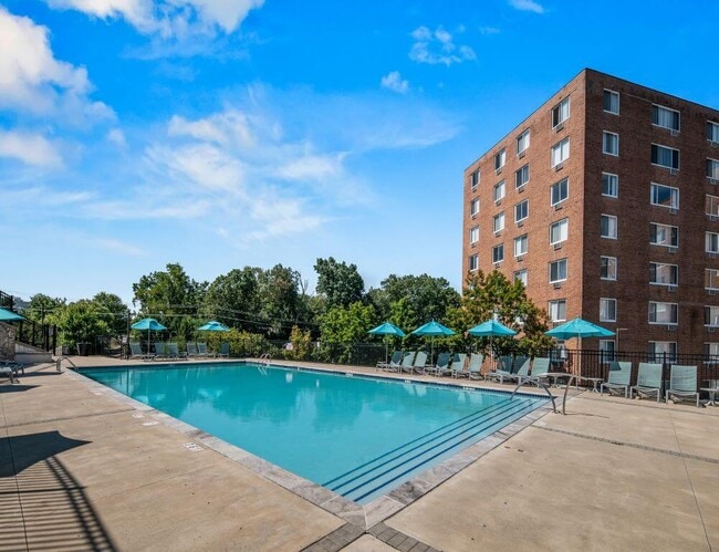
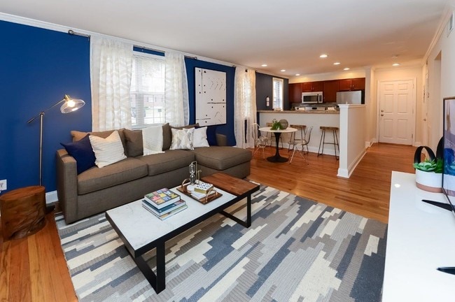
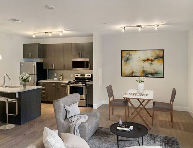
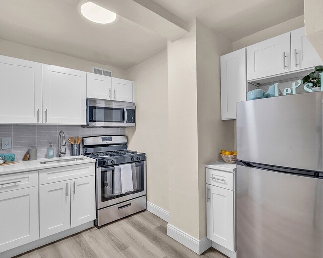
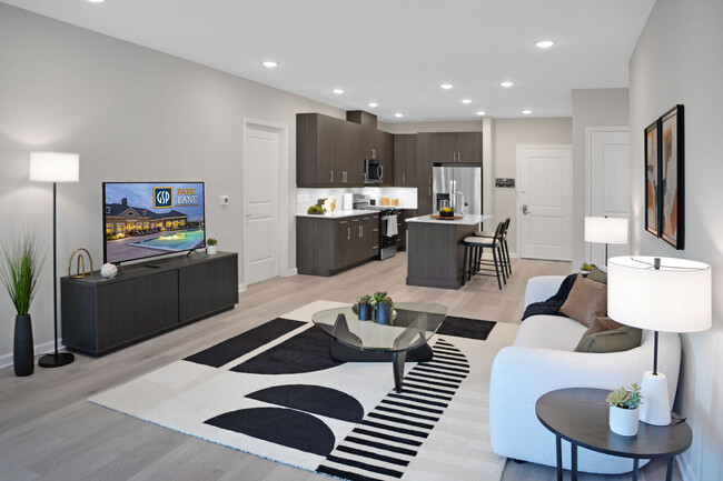
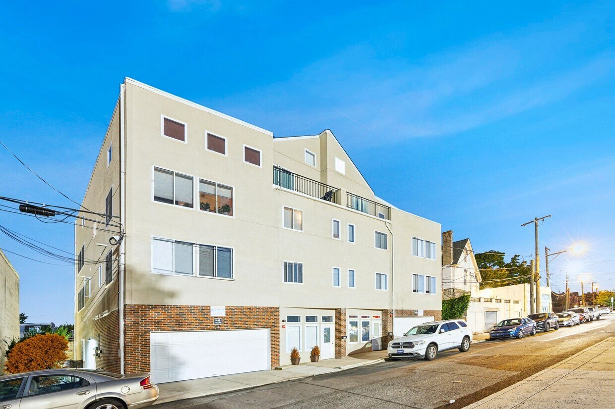
510 Martin Street is a newer construction property with one and two bedroom apartments. Each apartment comes with Wood Flooring, Central Air and Heat, Dishwasher, Disposal and more. Limited parking is available in the attached garage for an additional fee. Property has shared, coin operated laundry in the building. Pet friendly with no additional charge. Contact us now to schedule a tour!
510 Martin Street is an apartment community located in Philadelphia County and the 19128 ZIP Code. This area is served by the The School District of Philadelphia attendance zone.
Unique Features
Eleven miles northwest of Philadelphia, Roxborough’s convenient locale provides residents easy accessibility to city attractions in a charming, yet modern neighborhood.
Prior to the 1854 Act of Consolidation, most of Roxborough was part of the Roxborough Township. The area was a thriving and successful textile mill, which helped fund many of the community’s schools and parks during that time.
Nestled between the Schuylkill River and Wissahickon Valley Park, there’s plenty of natural green space and settings to go around. Locals enjoy fishing for trout at the park, and going on evening walks at the Manayunk Canal in their free time. Many delicious and trendy restaurants encompass Ridge Avenue – but a popular, no-frills eatery is Dalessandro’s Steak, a cheesesteak shop by the Walnut Lane Golf Course.
Residents are comforted by their direct access to Interstate 76, SEPTA bus and rail services, and Thomas Jefferson University East Falls Campus.
Learn more about living in RoxboroughCompare neighborhood and city base rent averages by bedroom.
| Roxborough | Philadelphia, PA | |
|---|---|---|
| Studio | $1,279 | $1,428 |
| 1 Bedroom | $1,572 | $1,782 |
| 2 Bedrooms | $1,793 | $2,220 |
| 3 Bedrooms | $2,163 | $2,910 |
| Colleges & Universities | Distance | ||
|---|---|---|---|
| Colleges & Universities | Distance | ||
| Drive: | 5 min | 1.8 mi | |
| Drive: | 7 min | 2.7 mi | |
| Drive: | 9 min | 3.1 mi | |
| Drive: | 13 min | 4.7 mi |


 The GreatSchools Rating helps parents compare schools within a state based on a variety of school quality indicators and provides a helpful picture of how effectively each school serves all of its students. Ratings are on a scale of 1 (below average) to 10 (above average) and can include test scores, college readiness, academic progress, advanced courses, equity, discipline and attendance data. We also advise parents to visit schools, consider other information on school performance and programs, and consider family needs as part of the school selection process.
Transportation options available in Philadelphia include Hunting Park, located 4.7 miles from 510 Martin Street. 510 Martin Street is near Philadelphia International, located 16.7 miles or 32 minutes away, and Trenton Mercer, located 33.0 miles or 58 minutes away.
| Transit / Subway | Distance | ||
|---|---|---|---|
| Transit / Subway | Distance | ||
|
|
Drive: | 11 min | 4.7 mi |
|
|
Drive: | 11 min | 4.7 mi |
| Drive: | 14 min | 4.9 mi | |
|
|
Drive: | 11 min | 5.0 mi |
|
|
Drive: | 12 min | 5.2 mi |
| Commuter Rail | Distance | ||
|---|---|---|---|
| Commuter Rail | Distance | ||
|
|
Drive: | 6 min | 1.7 mi |
|
|
Drive: | 5 min | 1.8 mi |
|
|
Drive: | 6 min | 2.1 mi |
|
|
Drive: | 7 min | 2.3 mi |
|
|
Drive: | 8 min | 2.4 mi |
| Airports | Distance | ||
|---|---|---|---|
| Airports | Distance | ||
|
Philadelphia International
|
Drive: | 32 min | 16.7 mi |
|
Trenton Mercer
|
Drive: | 58 min | 33.0 mi |
Scores provided by
 What do Walkability, Transit, Drivability, and Bikeability mean?
Walkability measures the walking distance to day-to-day needs.
Transit measures access to public transportation.
Drivability measures congestion, parking availability, and access to major roads.
Bikeability measures the suitability for cycling.
How It Works
What do Walkability, Transit, Drivability, and Bikeability mean?
Walkability measures the walking distance to day-to-day needs.
Transit measures access to public transportation.
Drivability measures congestion, parking availability, and access to major roads.
Bikeability measures the suitability for cycling.
How It Works
Traffic
-Airport
-Businesses
-Scores provided by
HowLoud What is a Sound Score Rating? A Sound Score Rating aggregates noise caused by vehicle traffic, airplane traffic and local sources. How It WorksTime and distance from 510 Martin Street.
| Shopping Centers | Distance | ||
|---|---|---|---|
| Shopping Centers | Distance | ||
| Walk: | 1 min | 0.1 mi | |
| Walk: | 1 min | 0.1 mi | |
| Drive: | 7 min | 2.2 mi |
| Parks and Recreation | Distance | ||
|---|---|---|---|
| Parks and Recreation | Distance | ||
|
Schuylkill Center for Environmental Education
|
Drive: | 9 min | 3.5 mi |
|
Awbury Arboretum
|
Drive: | 9 min | 3.7 mi |
|
Arboretum of the Barnes Foundation
|
Drive: | 12 min | 4.7 mi |
|
Rolling Hill Park
|
Drive: | 15 min | 5.1 mi |
|
Merion Botanical Park
|
Drive: | 14 min | 5.3 mi |
| Hospitals | Distance | ||
|---|---|---|---|
| Hospitals | Distance | ||
| Walk: | 6 min | 0.3 mi | |
| Drive: | 5 min | 1.6 mi | |
| Drive: | 14 min | 5.3 mi |
| Military Bases | Distance | ||
|---|---|---|---|
| Military Bases | Distance | ||
| Drive: | 25 min | 13.4 mi | |
| Drive: | 35 min | 16.0 mi | |
| Drive: | 37 min | 16.6 mi |
What Are Walk Score®, Transit Score®, and Bike Score® Ratings?
Walk Score® measures the walkability of any address. Transit Score® measures access to public transit. Bike Score® measures the bikeability of any address.
What is a Sound Score Rating?
A Sound Score Rating aggregates noise caused by vehicle traffic, airplane traffic and local sources.
510 Martin St
Philadelphia, PA 19128