
The Mews
1305 Paterson Plank Rd,
North Bergen, NJ 07047
$2,150 - $3,395
Studio - 2 Beds
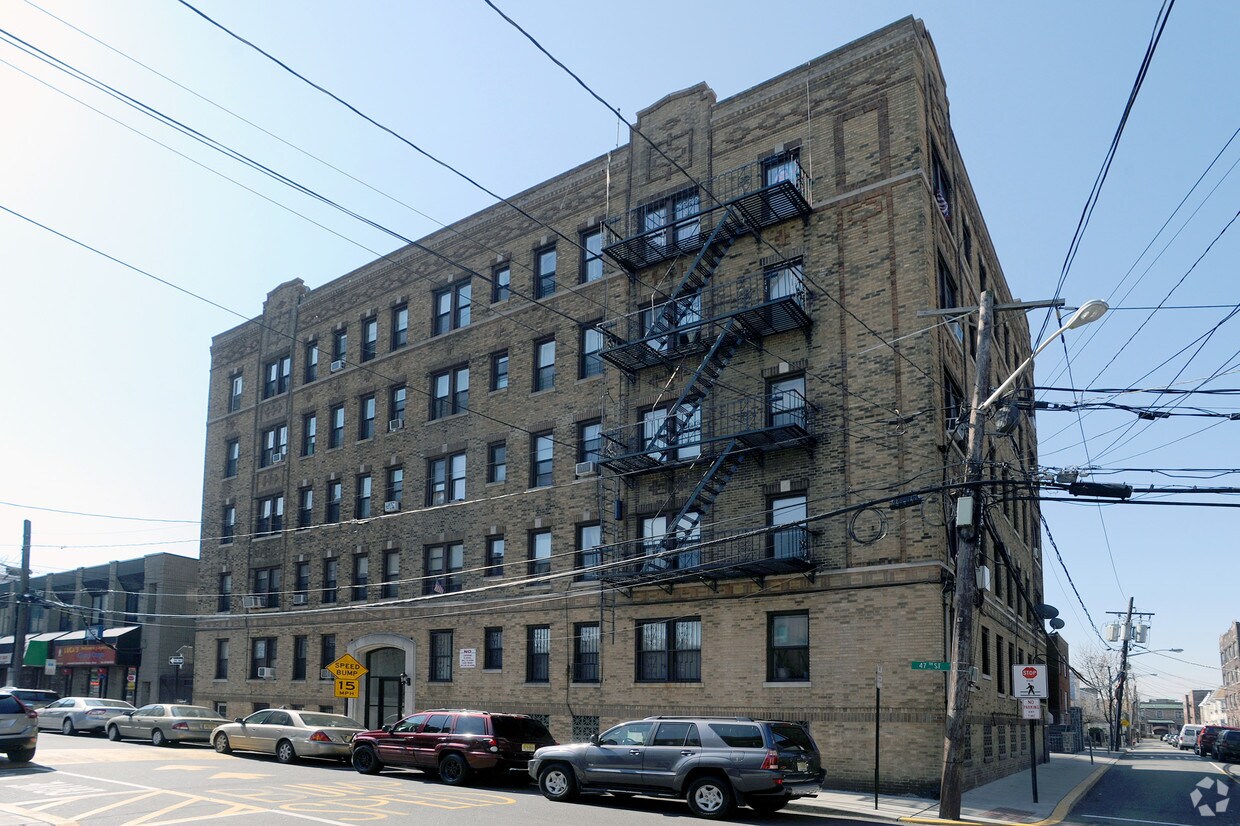
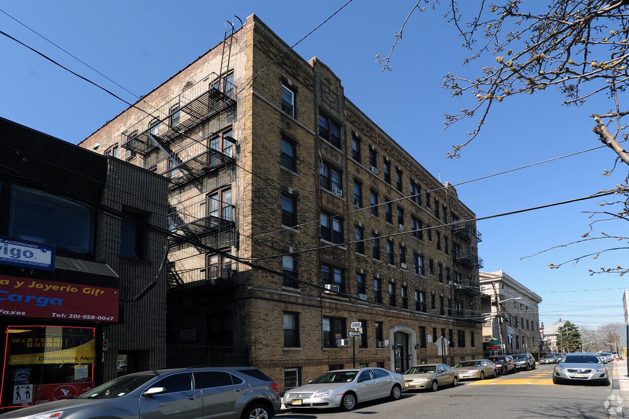
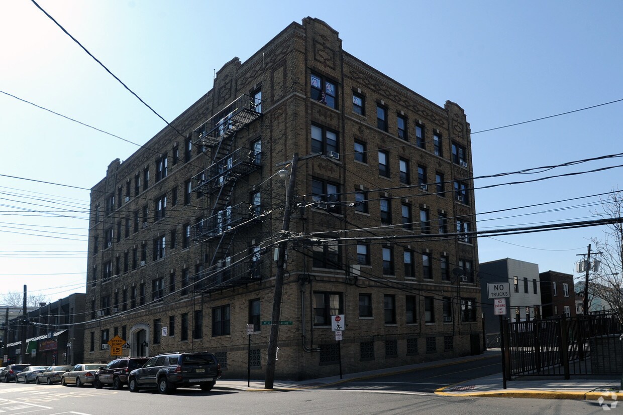
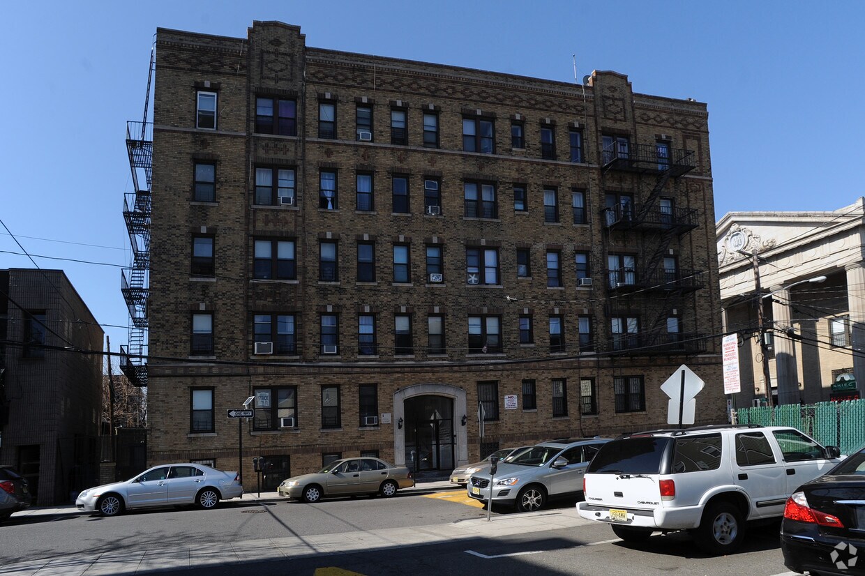
Meet a new place to live at 509 47th St in Union City. The address for this community is at 509 47th St. in Union City. The leasing staff is ready to help you find the perfect place to live. Schedule a time to check out the current floorplan options. Find your new home at 509 47th St. Contact or drop by to check the availability and schedule a tour today.
509 47th St is an apartment community located in Hudson County and the 07087 ZIP Code. This area is served by the Union City attendance zone.
Union City, New Jersey combines metropolitan convenience with a distinctive cultural atmosphere. Located atop the Palisades, this community offers views of the New York City skyline and the New Jersey Meadowlands. Current rental trends show steady growth, with average one-bedroom apartments commanding $1,557, reflecting a 2.1% increase from the previous year. Two-bedroom units average $2,166, while studio apartments typically rent for $1,146, making it an alternative to neighboring Hoboken and Jersey City.
The community's character reflects its rich immigrant heritage, particularly its Cuban-American influence. Bergenline Avenue, New Jersey's longest commercial avenue, features an extensive shopping district with authentic Latin American eateries and specialty shops. Local green spaces include Washington Park and Reservoir Park. Cultural venues like the Park Performing Arts Center and the William V. Musto Cultural Center host community events throughout the year.
Learn more about living in Union City| Colleges & Universities | Distance | ||
|---|---|---|---|
| Colleges & Universities | Distance | ||
| Drive: | 10 min | 3.3 mi | |
| Drive: | 12 min | 4.3 mi | |
| Drive: | 14 min | 4.7 mi | |
| Drive: | 15 min | 5.1 mi |


Transportation options available in Union City include Bergenline Avenue, located 0.1 mile from 509 47th St. 509 47th St is near Newark Liberty International, located 11.2 miles or 14 minutes away, and LaGuardia, located 13.0 miles or 29 minutes away.
| Transit / Subway | Distance | ||
|---|---|---|---|
| Transit / Subway | Distance | ||
|
|
Walk: | 2 min | 0.1 mi |
|
|
Walk: | 15 min | 0.8 mi |
|
|
Drive: | 4 min | 1.8 mi |
|
|
Drive: | 6 min | 1.9 mi |
|
|
Drive: | 12 min | 4.1 mi |
| Commuter Rail | Distance | ||
|---|---|---|---|
| Commuter Rail | Distance | ||
|
|
Drive: | 12 min | 4.3 mi |
|
|
Drive: | 13 min | 4.5 mi |
|
|
Drive: | 13 min | 4.5 mi |
|
|
Drive: | 15 min | 5.0 mi |
|
|
Drive: | 14 min | 5.2 mi |
| Airports | Distance | ||
|---|---|---|---|
| Airports | Distance | ||
|
Newark Liberty International
|
Drive: | 14 min | 11.2 mi |
|
LaGuardia
|
Drive: | 29 min | 13.0 mi |
Time and distance from 509 47th St.
| Shopping Centers | Distance | ||
|---|---|---|---|
| Shopping Centers | Distance | ||
| Walk: | 11 min | 0.6 mi | |
| Walk: | 12 min | 0.7 mi | |
| Walk: | 16 min | 0.9 mi |
| Parks and Recreation | Distance | ||
|---|---|---|---|
| Parks and Recreation | Distance | ||
|
Chelsea Recreation Center
|
Drive: | 12 min | 4.4 mi |
|
Chelsea Park
|
Drive: | 14 min | 4.7 mi |
|
De Witt Clinton Park
|
Drive: | 13 min | 4.7 mi |
|
Damrosch Park
|
Drive: | 14 min | 4.9 mi |
|
Children's Museum of Manhattan
|
Drive: | 17 min | 5.9 mi |
| Hospitals | Distance | ||
|---|---|---|---|
| Hospitals | Distance | ||
| Drive: | 5 min | 2.3 mi | |
| Drive: | 5 min | 2.4 mi | |
| Drive: | 7 min | 4.2 mi |
| Military Bases | Distance | ||
|---|---|---|---|
| Military Bases | Distance | ||
| Drive: | 21 min | 10.5 mi | |
| Drive: | 20 min | 12.7 mi |
What Are Walk Score®, Transit Score®, and Bike Score® Ratings?
Walk Score® measures the walkability of any address. Transit Score® measures access to public transit. Bike Score® measures the bikeability of any address.
What is a Sound Score Rating?
A Sound Score Rating aggregates noise caused by vehicle traffic, airplane traffic and local sources

509 47th St
Union City, NJ 07087


