
$1,700
/ Month
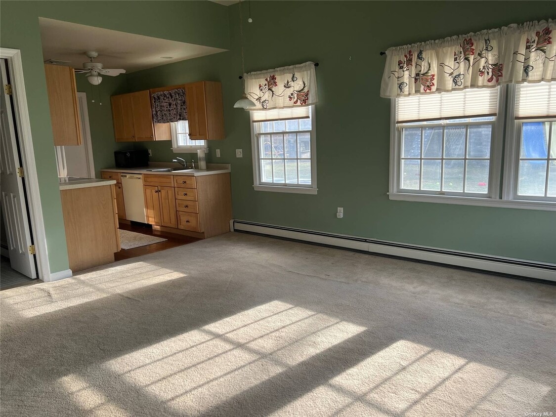
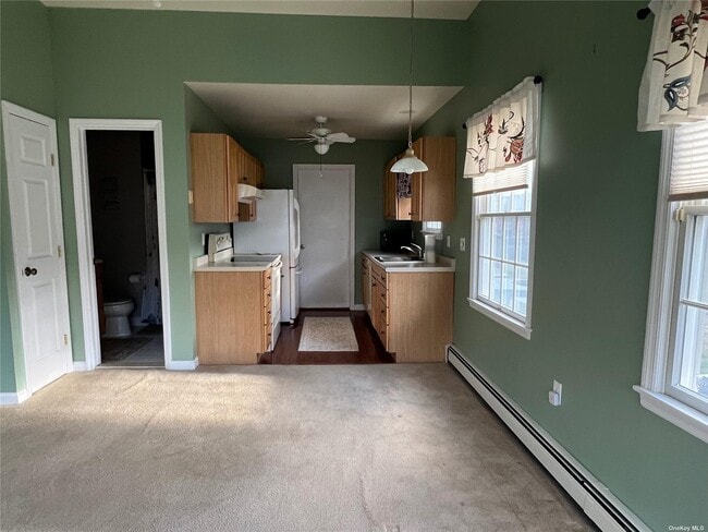
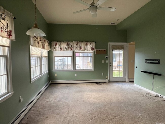
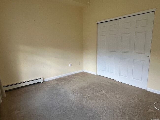
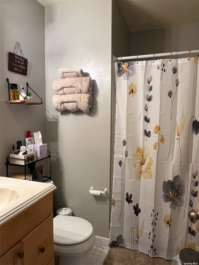
504 Chapman Blvd
Manorville, NY 11949
Favorites
-
Bedrooms
1
-
Bathrooms
1
-
Square Feet
450 sq ft
504 Chapman Blvd

Favorites
Contact
- Listed by Locayt
Location
Get Directions
Sitting at the eastern edge of Suffolk County, Manorville is where Long Island starts to feel less like a suburb and more like the country. Known as the Gateway to the Hamptons, this hamlet of roughly 14,000 residents spans about 26 square miles of largely wooded terrain shaped by the Peconic River Watershed and the preserved land that defines its northeast corner. The pace here is noticeably slower than in the denser towns to the west, and that contrast is a big part of its appeal.
Manorville's roots go back to a 1693 land grant called Manor St. George, and the name itself has a story — a railroad station agent in 1844 painted over "St. George's" on the depot sign and simply left the word "Manor." Today the hamlet sits alongside the Long Island Expressway, giving residents practical access to both the East End and New York City without sacrificing the quiet that drew them here in the first place.
Learn more about living in Manorville
Education
| Colleges & Universities | Distance | ||
|---|---|---|---|
| Colleges & Universities | Distance | ||
| Drive: | 15 min | 7.7 mi | |
| Drive: | 26 min | 15.9 mi | |
| Drive: | 28 min | 18.0 mi | |
| Drive: | 37 min | 24.8 mi |
504 Chapman Blvd is within 15 minutes or 7.7 miles from SUNY Suffolk Co., Eastern. It is also near St Joseph's Coll., Long Island and SUNY Suffolk Co., Ammerman.
Getting Around
 What do Walkability, Transit, Drivability, and Bikeability mean?
Walkability measures the walking distance to day-to-day needs.
Transit measures access to public transportation.
Drivability measures congestion, parking availability, and access to major roads.
Bikeability measures the suitability for cycling.
How It Works
What do Walkability, Transit, Drivability, and Bikeability mean?
Walkability measures the walking distance to day-to-day needs.
Transit measures access to public transportation.
Drivability measures congestion, parking availability, and access to major roads.
Bikeability measures the suitability for cycling.
How It Works
Somewhat Walkable
Walkability
30
/ 100
Exceptionally Drivable
Drivability
100
/ 100
Moderately Bikeable
Bikeability
60
/ 100
Scores provided by
-
Soundscore™
-
/ 100
Traffic
-Airport
-Businesses
-Scores provided by
HowLoud What is a Sound Score Rating? A Sound Score Rating aggregates noise caused by vehicle traffic, airplane traffic and local sources. How It WorksYou May Also Like
Similar Rentals Nearby
-
-

-

-
 2 Beds, 2 Baths, 2,141 sq ft$3,500Total Monthly PriceTotal Monthly Price NewPrices include all required monthly fees.367 Seabreeze Ct
 -

-
 2 Beds, 3 Baths, 1,550 sq ft$15,000Total Monthly PriceTotal Monthly Price NewPrices include all required monthly fees.3041 Mitchell Rd
 -

-
 2 Beds, 2 Baths, 1,000 sq ft$25,000Total Monthly PriceTotal Monthly Price NewPrices include all required monthly fees.253 Dune Rd Unit 49
 -
 2 Beds, 2 Baths, 1,065 sq ft$3,150Total Monthly PriceTotal Monthly Price NewPrices include all required monthly fees.389 Clubhouse Ct Unit 457
 -

What Are Walk Score®, Transit Score®, and Bike Score® Ratings?
Walk Score® measures the walkability of any address. Transit Score® measures access to public transit. Bike Score® measures the bikeability of any address.
What is a Sound Score Rating?
A Sound Score Rating aggregates noise caused by vehicle traffic, airplane traffic and local sources.

504 Chapman Blvd
Manorville, NY 11949