

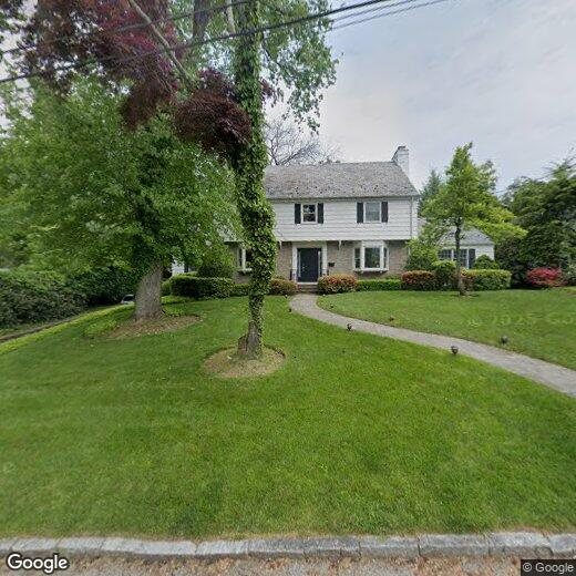
5 Tory Ln
5 Tory Ln
Scarsdale, NY 10583
2 Weeks Ago
Favorites
5 Tory Ln

Favorites
Check Back Soon for Upcoming Availability
| Beds | Baths | Average SF |
|---|---|---|
| 4 Bedrooms 4 Bedrooms 4 Br | 4 Baths 4 Baths 4 Ba | — |
Location
Get Directions
Scarsdale is an upscale town in Westchester County, situated between the Bronx River Parkway and the Hutchinson River Parkway directly south of White Plains. Home to its own Metro-North train station, Scarsdale offers residents quick commutes to Manhattan and access to a top-rated public school district.
Scarsdale’s picturesque downtown area is brimming with high-quality boutiques, restaurants, and cafes in pristine Tudor-style buildings. Golfers rejoice in the many golf clubs in and around Scarsdale, including the Fenway Golf Club, Quaker Ridge Golf Club, and Saxon Woods Golf Course. Plenty of nearby parks provide additional opportunities for outdoor recreation as well, such as Twin Lakes County Park, Sprain Ridge Park, and Ridge Road Park.
Learn more about living in Scarsdale
Education
| Colleges & Universities | Distance | ||
|---|---|---|---|
| Colleges & Universities | Distance | ||
| Drive: | 10 min | 4.1 mi | |
| Drive: | 17 min | 6.2 mi | |
| Drive: | 15 min | 6.3 mi | |
| Drive: | 18 min | 7.1 mi |
5 Tory Ln is within 10 minutes or 4.1 miles from Pace University, White Plains. It is also near SUNY Westchester and Manhattanville College.
Transportation options available in Scarsdale include Wakefield-241 Street, located 8.5 miles from 5 Tory Ln. 5 Tory Ln is near Westchester County, located 10.5 miles or 19 minutes away, and LaGuardia, located 21.0 miles or 38 minutes away.
| Transit / Subway | Distance | ||
|---|---|---|---|
| Transit / Subway | Distance | ||
|
|
Drive: | 16 min | 8.5 mi |
|
|
Drive: | 16 min | 9.0 mi |
|
|
Drive: | 16 min | 9.0 mi |
|
|
Drive: | 17 min | 9.3 mi |
|
|
Drive: | 18 min | 9.7 mi |
| Commuter Rail | Distance | ||
|---|---|---|---|
| Commuter Rail | Distance | ||
|
|
Walk: | 18 min | 0.9 mi |
|
|
Drive: | 5 min | 1.5 mi |
|
|
Drive: | 7 min | 3.1 mi |
|
|
Drive: | 9 min | 3.7 mi |
|
|
Drive: | 11 min | 4.9 mi |
| Airports | Distance | ||
|---|---|---|---|
| Airports | Distance | ||
|
Westchester County
|
Drive: | 19 min | 10.5 mi |
|
LaGuardia
|
Drive: | 38 min | 21.0 mi |
Time and distance from 5 Tory Ln.
| Shopping Centers | Distance | ||
|---|---|---|---|
| Shopping Centers | Distance | ||
| Drive: | 4 min | 1.4 mi | |
| Drive: | 8 min | 2.3 mi | |
| Drive: | 8 min | 2.7 mi |
5 Tory Ln has 3 shopping centers within 2.7 miles, which is about a 8-minute drive. The miles and minutes will be for the farthest away property.
| Parks and Recreation | Distance | ||
|---|---|---|---|
| Parks and Recreation | Distance | ||
|
Greenburgh Nature Center
|
Drive: | 9 min | 3.0 mi |
|
Weinberg Nature Center
|
Drive: | 8 min | 3.3 mi |
|
Ward Acres
|
Drive: | 11 min | 4.3 mi |
|
Sheldrake Environmental Center
|
Drive: | 12 min | 4.5 mi |
|
Old Croton Aqueduct State Historic Park
|
Drive: | 15 min | 5.9 mi |
5 Tory Ln has 5 parks within 5.9 miles, including Greenburgh Nature Center, Weinberg Nature Center, and Ward Acres.
| Hospitals | Distance | ||
|---|---|---|---|
| Hospitals | Distance | ||
| Drive: | 16 min | 7.3 mi | |
| Drive: | 14 min | 7.6 mi | |
| Drive: | 15 min | 7.7 mi |
5 Tory Ln has 3 hospitals within 7.7 miles, the nearest is Montefiore New Rochelle Hospital which is 7.3 miles away and a 16 minute drive.
| Military Bases | Distance | ||
|---|---|---|---|
| Military Bases | Distance | ||
| Drive: | 34 min | 19.0 mi | |
| Drive: | 92 min | 51.5 mi |
5 Tory Ln is 19.0 miles from Fort Totten US Govt Reservation, and is convenient to other military bases, including Eatons Neck CG Station North.
You May Also Like
Similar Rentals Nearby


What Are Walk Score®, Transit Score®, and Bike Score® Ratings?
Walk Score® measures the walkability of any address. Transit Score® measures access to public transit. Bike Score® measures the bikeability of any address.
What is a Sound Score Rating?
A Sound Score Rating aggregates noise caused by vehicle traffic, airplane traffic and local sources
5 Tory Ln
Scarsdale, NY 10583