
$500 / Month
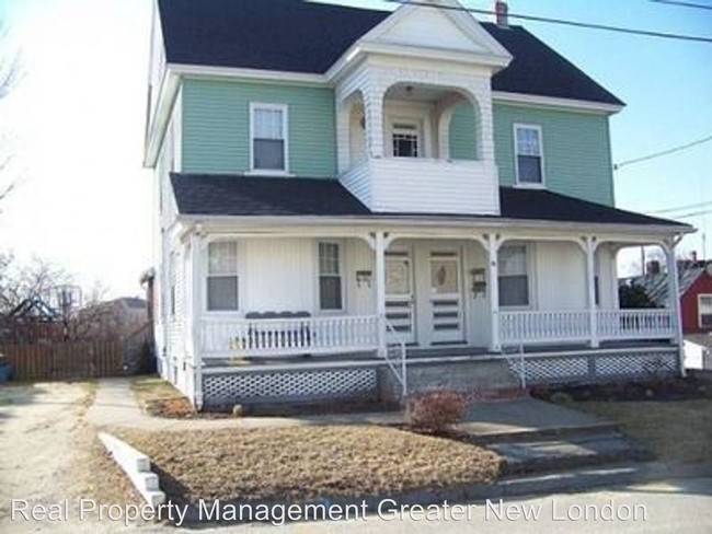
49 High St
Killingly, CT 06239
2 Weeks Ago
Favorites
49 High St

Favorites
Check Back Soon for Upcoming Availability
| Beds | Baths | Average SF |
|---|---|---|
| 1 Bedroom 1 Bedroom 1 Br | 1 Bath 1 Bath 1 Ba | 750 SF |
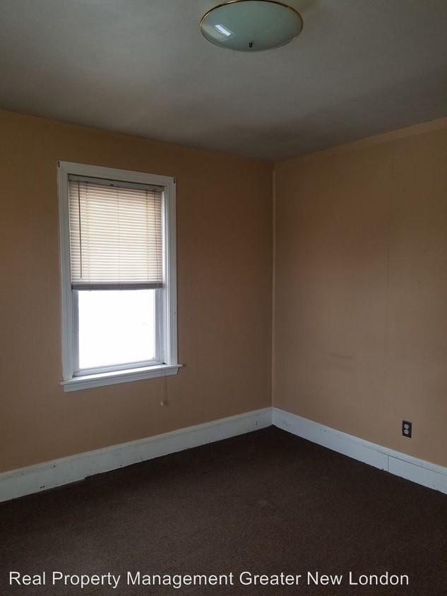
About This Property
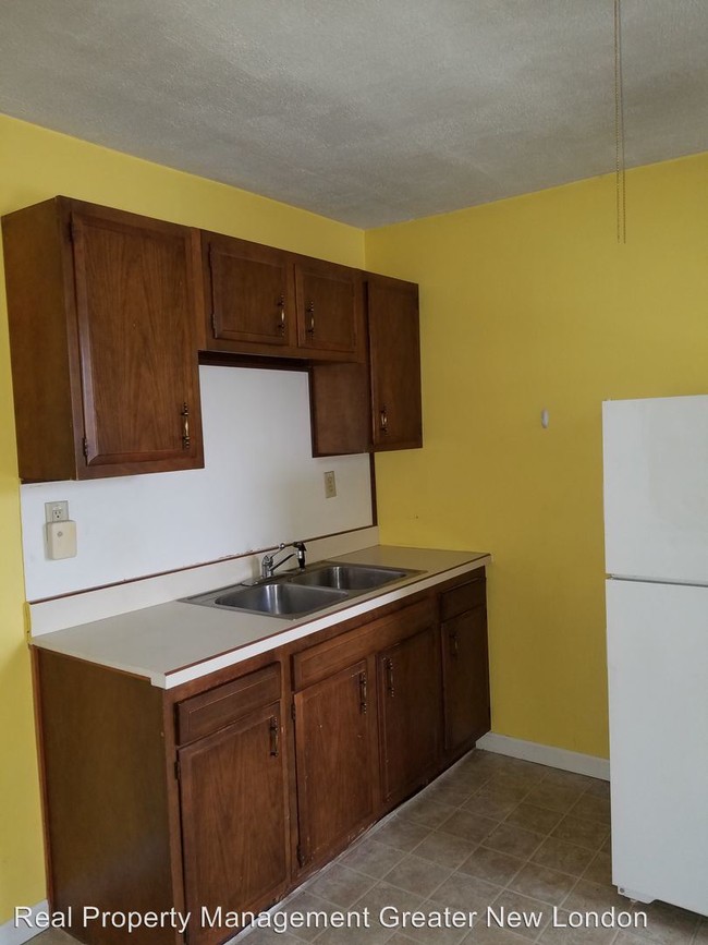
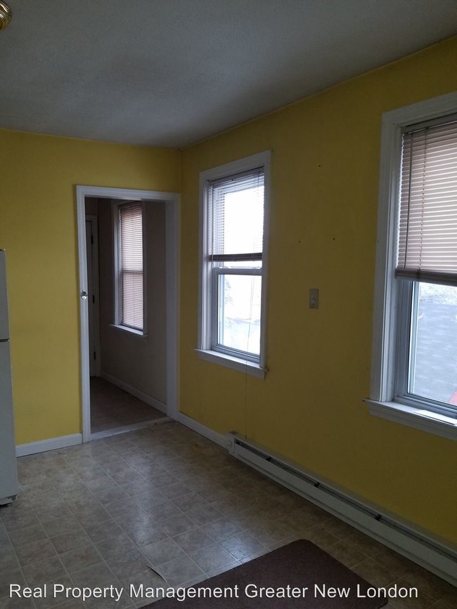
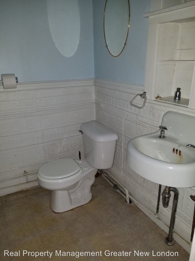
(860) 436-9955 - Studio apartment available in Danielson - 2nd floor studio apartment available. Large kitchen/dining area, full bath and bedroom/living area. Available Jan 1. Electric and gas heat. $500/mo (RLNE4471226)
49 High St is an apartment community located in Windham County and the 06239 ZIP Code.
Location
Get Directions
Education
| Colleges & Universities | Distance | ||
|---|---|---|---|
| Colleges & Universities | Distance | ||
| Drive: | 32 min | 21.0 mi | |
| Drive: | 36 min | 26.2 mi | |
| Drive: | 39 min | 26.6 mi | |
| Drive: | 41 min | 27.3 mi |
49 High St is within 32 minutes or 21.0 miles from Eastern Connecticut. It is also near University of Connecticut and Bryant University.
You May Also Like
Similar Rentals Nearby
-
-
-
-
-
-
-
-
-
1 / 24

-


What Are Walk Score®, Transit Score®, and Bike Score® Ratings?
Walk Score® measures the walkability of any address. Transit Score® measures access to public transit. Bike Score® measures the bikeability of any address.
What is a Sound Score Rating?
A Sound Score Rating aggregates noise caused by vehicle traffic, airplane traffic and local sources
49 High St
Killingly, CT 06239