1 / 23


| Beds | Baths | Average SF |
|---|---|---|
| 3 Bedrooms 3 Bedrooms 3 Br | 1 Bath 1 Bath 1 Ba | — |
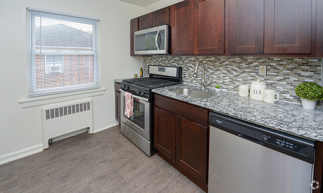
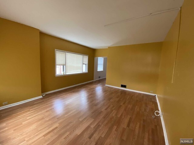
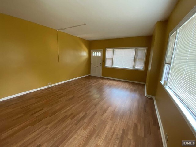
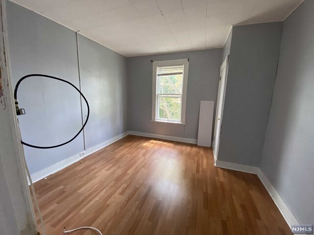
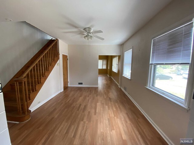
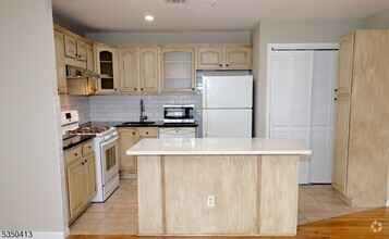
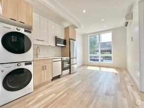
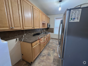
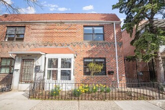
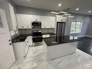
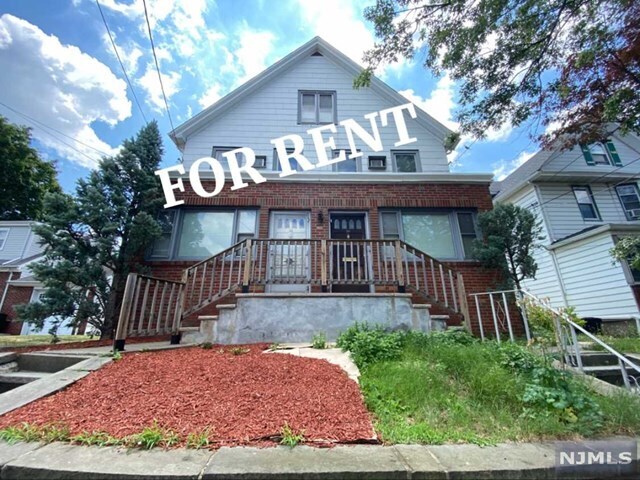
Side by Side 2 family duplex in East Rutherford with 3 bedrooms, one full bathroom...hardwood floor in the entire of house huge living room & big size dining room, finished room in attic with ac... huge living space in general...Laundry and storage...driveway and parking goes with this unit...backyard use...pets considered...will not last...call now8
48 High St is a townhome located in Bergen County and the 07073 ZIP Code. This area is served by the East Rutherford attendance zone.
Nestled between the Passaic and Hackensack rivers in Bergen County, East Rutherford is known for housing the Meadowlands Sports Complex, a three-venue complex where guests can see the Giants, Jets, concerts, and horse racing. Located about seven miles west of Midtown Manhattan, East Rutherford affords residents access to metropolitan luxuries and suburban tranquility.
A slew of excellent restaurants serving international cuisine are strewn throughout East Rutherford. Residents have easy access to nearby parks, including the popular Riverside County Park, Richard W. DeKorte Park, and Laurel Hill Park, where outdoor recreation abounds. The Secaucus Outlets are just minutes from East Rutherford as well. Commuting and traveling to New York City and Hoboken from East Rutherford is simple with access to I-95 and NJ Transit train stations.
Learn more about living in East Rutherford| Colleges & Universities | Distance | ||
|---|---|---|---|
| Colleges & Universities | Distance | ||
| Drive: | 5 min | 1.7 mi | |
| Drive: | 5 min | 2.5 mi | |
| Drive: | 6 min | 3.0 mi | |
| Drive: | 9 min | 3.8 mi |


Transportation options available in East Rutherford include Tonnelle Avenue, located 6.6 miles from 48 High St. 48 High St is near Newark Liberty International, located 12.9 miles or 16 minutes away, and Laguardia, located 21.4 miles or 33 minutes away.
| Transit / Subway | Distance | ||
|---|---|---|---|
| Transit / Subway | Distance | ||
|
|
Drive: | 9 min | 6.6 mi |
|
|
Drive: | 11 min | 7.5 mi |
|
|
Drive: | 14 min | 9.0 mi |
|
|
Drive: | 14 min | 9.0 mi |
|
|
Drive: | 15 min | 9.3 mi |
| Commuter Rail | Distance | ||
|---|---|---|---|
| Commuter Rail | Distance | ||
|
|
Walk: | 11 min | 0.6 mi |
|
|
Drive: | 3 min | 1.7 mi |
| Drive: | 6 min | 2.1 mi | |
| Drive: | 4 min | 2.7 mi | |
|
|
Drive: | 8 min | 4.8 mi |
| Airports | Distance | ||
|---|---|---|---|
| Airports | Distance | ||
|
Newark Liberty International
|
Drive: | 16 min | 12.9 mi |
|
Laguardia
|
Drive: | 33 min | 21.4 mi |
Time and distance from 48 High St.
| Shopping Centers | Distance | ||
|---|---|---|---|
| Shopping Centers | Distance | ||
| Walk: | 11 min | 0.6 mi | |
| Walk: | 12 min | 0.7 mi | |
| Walk: | 12 min | 0.7 mi |
| Parks and Recreation | Distance | ||
|---|---|---|---|
| Parks and Recreation | Distance | ||
|
Meadowlands Environment Center
|
Drive: | 13 min | 4.8 mi |
|
McDowell Observatory
|
Drive: | 13 min | 4.8 mi |
|
Richard W. DeKorte Park
|
Drive: | 14 min | 6.7 mi |
|
Laurel Hill Park
|
Drive: | 13 min | 7.1 mi |
|
Overpeck County Park
|
Drive: | 12 min | 8.4 mi |
| Hospitals | Distance | ||
|---|---|---|---|
| Hospitals | Distance | ||
| Drive: | 6 min | 3.4 mi | |
| Drive: | 7 min | 4.9 mi | |
| Drive: | 12 min | 7.9 mi |
| Military Bases | Distance | ||
|---|---|---|---|
| Military Bases | Distance | ||
| Drive: | 25 min | 14.7 mi | |
| Drive: | 24 min | 16.9 mi |

What Are Walk Score®, Transit Score®, and Bike Score® Ratings?
Walk Score® measures the walkability of any address. Transit Score® measures access to public transit. Bike Score® measures the bikeability of any address.
What is a Sound Score Rating?
A Sound Score Rating aggregates noise caused by vehicle traffic, airplane traffic and local sources
48 High St
East Rutherford, NJ 07073