
Citrus Commons
14150 Riverside Dr,
Sherman Oaks, CA 91423
$2,725 - $5,495
Studio - 2 Beds
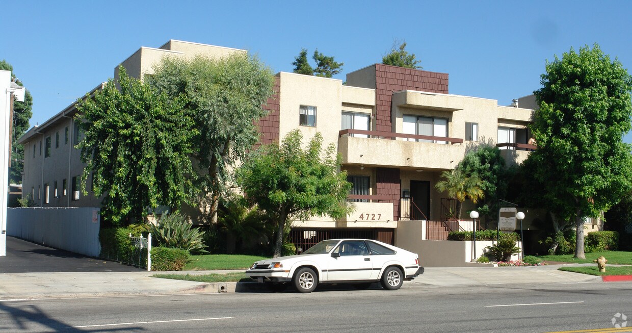
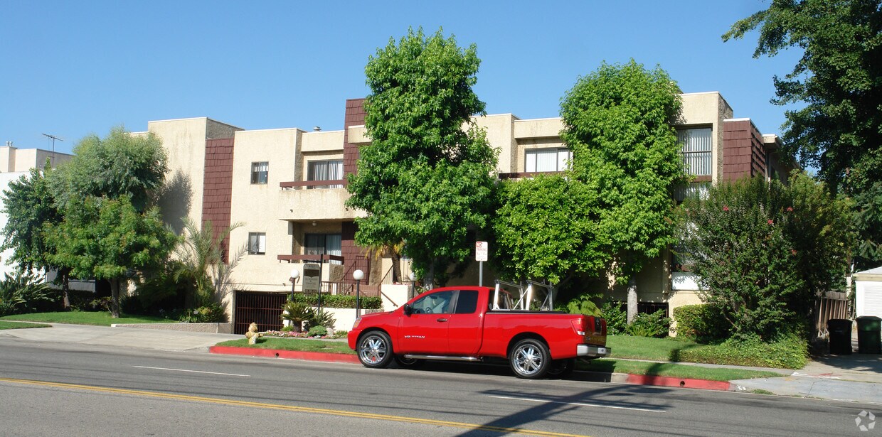

Discover your new apartment at 4727 Kester Ave in Sherman Oaks, CA. This community is located in the 91403 area of Sherman Oaks. Let the leasing team show you everything this community has in store. Apartments here give you a selection of amenities. Some of these include: security systems, convenient on-site parking options, and smoke-free options. Experience a new standard at 4727 Kester Ave.
4727 Kester Ave is an apartment community located in Los Angeles County and the 91403 ZIP Code. This area is served by the Los Angeles Unified attendance zone.
High Speed Internet Access
Fireplace
Security System
Smoke Free
Located in the heart of the San Fernando Valley, Sherman Oaks combines residential comfort with city accessibility. This established neighborhood, spanning 14 square miles and extending into the Santa Monica Mountains, features tree-lined streets and varied housing options. Current rental trends show one-bedroom apartments averaging $2,069 and two-bedroom units around $2,696.
Life in Sherman Oaks centers around Ventura Boulevard, home to local shops, restaurants, and entertainment venues. The community offers several recreational spaces, including Van Nuys Sherman Oaks Park with its tennis courts, swimming pools, and expansive grounds. Westfield Fashion Square provides shopping options, while Sherman Oaks Castle Park features miniature golf courses and an arcade. Established in 1927 by General Moses Hazeltine Sherman, the area has evolved from agricultural land into an established Los Angeles neighborhood.
Learn more about living in Sherman Oaks| Colleges & Universities | Distance | ||
|---|---|---|---|
| Colleges & Universities | Distance | ||
| Drive: | 8 min | 4.1 mi | |
| Drive: | 11 min | 7.9 mi | |
| Drive: | 14 min | 8.9 mi | |
| Drive: | 20 min | 10.0 mi |


Transportation options available in Sherman Oaks include North Hollywood Station, located 5.8 miles from 4727 Kester Ave. 4727 Kester Ave is near Bob Hope, located 8.7 miles or 15 minutes away, and Los Angeles International, located 18.3 miles or 25 minutes away.
| Transit / Subway | Distance | ||
|---|---|---|---|
| Transit / Subway | Distance | ||
|
|
Drive: | 9 min | 5.8 mi |
|
|
Drive: | 10 min | 7.0 mi |
|
|
Drive: | 15 min | 10.0 mi |
|
|
Drive: | 14 min | 10.2 mi |
| Drive: | 14 min | 10.6 mi |
| Commuter Rail | Distance | ||
|---|---|---|---|
| Commuter Rail | Distance | ||
|
|
Drive: | 9 min | 4.6 mi |
|
|
Drive: | 15 min | 8.7 mi |
| Drive: | 16 min | 9.6 mi | |
|
|
Drive: | 16 min | 9.6 mi |
|
|
Drive: | 17 min | 9.8 mi |
| Airports | Distance | ||
|---|---|---|---|
| Airports | Distance | ||
|
Bob Hope
|
Drive: | 15 min | 8.7 mi |
|
Los Angeles International
|
Drive: | 25 min | 18.3 mi |
Time and distance from 4727 Kester Ave.
| Shopping Centers | Distance | ||
|---|---|---|---|
| Shopping Centers | Distance | ||
| Walk: | 9 min | 0.5 mi | |
| Walk: | 11 min | 0.6 mi | |
| Walk: | 13 min | 0.7 mi |
| Parks and Recreation | Distance | ||
|---|---|---|---|
| Parks and Recreation | Distance | ||
|
The Japanese Garden
|
Drive: | 4 min | 2.8 mi |
|
Los Encinos State Historic Park
|
Drive: | 5 min | 2.8 mi |
|
Sepulveda Basin Wildlife Reserve
|
Drive: | 8 min | 3.2 mi |
|
Skirball Cultural Center
|
Drive: | 7 min | 4.4 mi |
|
Lake Balboa
|
Drive: | 8 min | 4.6 mi |
| Hospitals | Distance | ||
|---|---|---|---|
| Hospitals | Distance | ||
| Walk: | 14 min | 0.7 mi | |
| Drive: | 3 min | 2.0 mi | |
| Drive: | 5 min | 2.9 mi |
| Military Bases | Distance | ||
|---|---|---|---|
| Military Bases | Distance | ||
| Drive: | 26 min | 20.9 mi |
What Are Walk Score®, Transit Score®, and Bike Score® Ratings?
Walk Score® measures the walkability of any address. Transit Score® measures access to public transit. Bike Score® measures the bikeability of any address.
What is a Sound Score Rating?
A Sound Score Rating aggregates noise caused by vehicle traffic, airplane traffic and local sources


