
1213 Walnut
1213 Walnut St,
Philadelphia, PA 19107
$1,645 - $5,440
Studio - 2 Beds
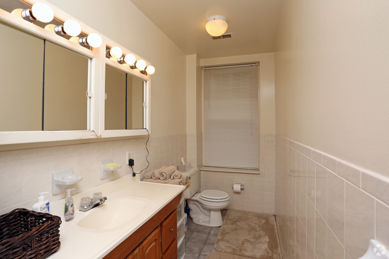
This is a great building located near public transportation the features Hardwood Floors, on-site washer dryer, great location and INCLUDES HEAT & HOT WATER!!!!!!!
The Carano Building is an apartment community located in Philadelphia County and the 19139 ZIP Code. This area is served by the The School District of Philadelphia attendance zone.
High Speed Internet Access
Hardwood Floors
Carpet
Cable Ready
Located in West Philadelphia, Cedar Park is a historic neighborhood that has undergone revitalization in recent years. Known as a “streetcar” suburb, Cedar Park boasts stunning architecture and many historic homes. Today, this diverse neighborhood is known as a quirky, urban locale with a bohemian vibe and vibrant culture. Located along Baltimore Avenue, Cedar Park maintains its own distinctive identity with a unique collection of galleries, shops, independent music, international restaurants, and a microbrewery.
Although the neighborhood is perfect for urbanites, Cedar Park is filled with trees and residents have access to several city parks including Clark Park and Malcolm X Park. Like most urban communities, Cedar Park is walkable, but residents also use public transit to travel to other major destinations in the city including the University of Pennsylvania and Center City. Great for renters of all ages, Cedar Park offers affordable to upscale rentals in every style.
Learn more about living in Cedar ParkCompare neighborhood and city base rent averages by bedroom.
| Cedar Park | Philadelphia, PA | |
|---|---|---|
| Studio | $1,100 | $1,402 |
| 1 Bedroom | $1,383 | $1,732 |
| 2 Bedrooms | $1,780 | $2,173 |
| 3 Bedrooms | $1,541 | $2,999 |
| Colleges & Universities | Distance | ||
|---|---|---|---|
| Colleges & Universities | Distance | ||
| Walk: | 10 min | 0.5 mi | |
| Walk: | 14 min | 0.8 mi | |
| Walk: | 19 min | 1.0 mi | |
| Drive: | 5 min | 1.8 mi |


Transportation options available in Philadelphia include Baltimore Ave & 46Th St, located 0.3 mile from The Carano Building. The Carano Building is near Philadelphia International, located 7.8 miles or 19 minutes away, and Trenton Mercer, located 36.8 miles or 55 minutes away.
| Transit / Subway | Distance | ||
|---|---|---|---|
| Transit / Subway | Distance | ||
|
|
Walk: | 5 min | 0.3 mi |
|
|
Walk: | 6 min | 0.4 mi |
|
|
Walk: | 7 min | 0.4 mi |
|
|
Walk: | 8 min | 0.4 mi |
|
|
Walk: | 8 min | 0.5 mi |
| Commuter Rail | Distance | ||
|---|---|---|---|
| Commuter Rail | Distance | ||
|
|
Walk: | 15 min | 0.8 mi |
| Drive: | 4 min | 1.4 mi | |
| Drive: | 4 min | 1.8 mi | |
|
|
Drive: | 5 min | 1.9 mi |
|
|
Drive: | 6 min | 2.2 mi |
| Airports | Distance | ||
|---|---|---|---|
| Airports | Distance | ||
|
Philadelphia International
|
Drive: | 19 min | 7.8 mi |
|
Trenton Mercer
|
Drive: | 55 min | 36.8 mi |
Time and distance from The Carano Building.
| Shopping Centers | Distance | ||
|---|---|---|---|
| Shopping Centers | Distance | ||
| Drive: | 4 min | 1.5 mi | |
| Drive: | 5 min | 1.6 mi | |
| Drive: | 5 min | 1.8 mi |
| Parks and Recreation | Distance | ||
|---|---|---|---|
| Parks and Recreation | Distance | ||
|
Penn Museum
|
Drive: | 3 min | 1.3 mi |
|
University of Pennsylvania Observatory
|
Drive: | 3 min | 1.4 mi |
|
Bartram's Garden
|
Drive: | 6 min | 2.0 mi |
|
Schuylkill River Park
|
Drive: | 7 min | 2.5 mi |
|
Philadelphia Zoo
|
Drive: | 7 min | 2.7 mi |
| Hospitals | Distance | ||
|---|---|---|---|
| Hospitals | Distance | ||
| Drive: | 3 min | 1.1 mi | |
| Drive: | 4 min | 1.6 mi | |
| Drive: | 10 min | 4.4 mi |
| Military Bases | Distance | ||
|---|---|---|---|
| Military Bases | Distance | ||
| Drive: | 13 min | 6.2 mi |
What Are Walk Score®, Transit Score®, and Bike Score® Ratings?
Walk Score® measures the walkability of any address. Transit Score® measures access to public transit. Bike Score® measures the bikeability of any address.
What is a Sound Score Rating?
A Sound Score Rating aggregates noise caused by vehicle traffic, airplane traffic and local sources

4600-4604 Spruce St
Philadelphia, PA 19139


