

$3,700 / Month

448 2nd St

,

Richmond, CA 94801

Share Listing
Favorites
510-758-5636
  • Bedrooms

    4

  • Bathrooms

    3

  • Square Feet

    1,136 sq ft

  • Available

    Available Now

Highlights

  • Wood Flooring
  • Cul-De-Sac
  • Laundry Room
  • Central Heating
  • 1-Story Property
448 2nd St
Share Listing
Favorites

About This Home

Available Now

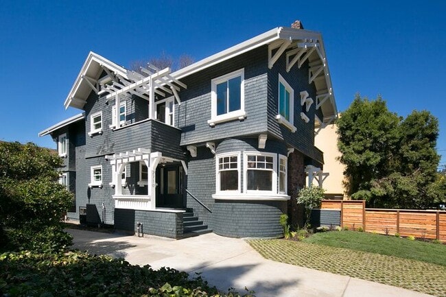
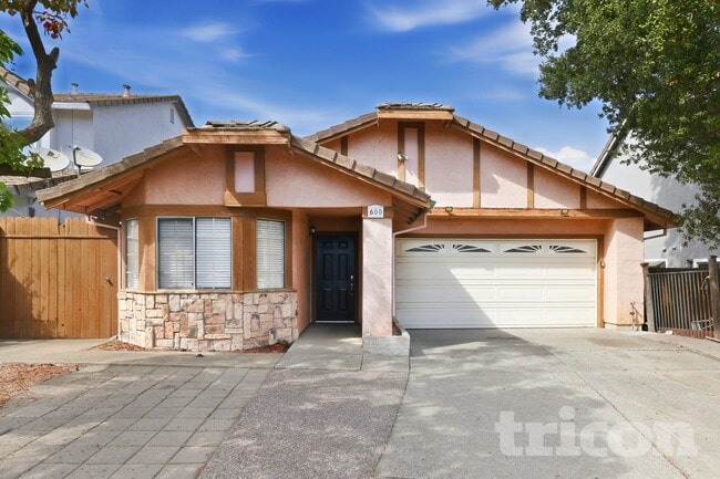
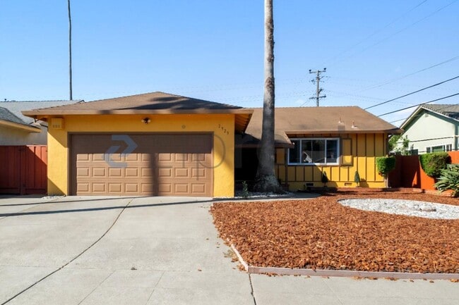
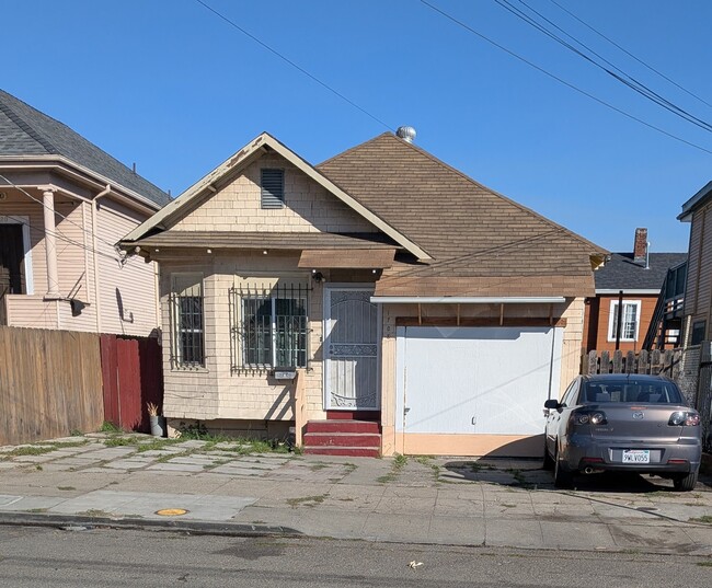
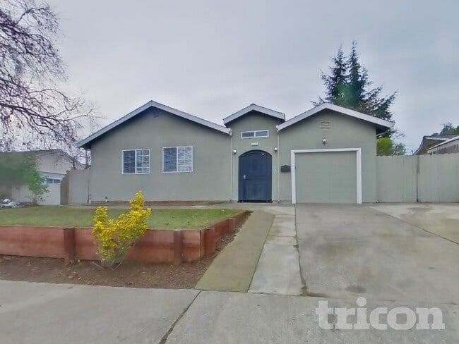
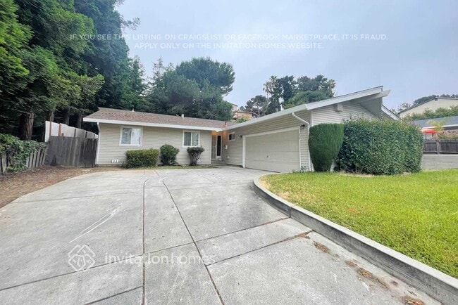
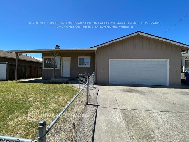
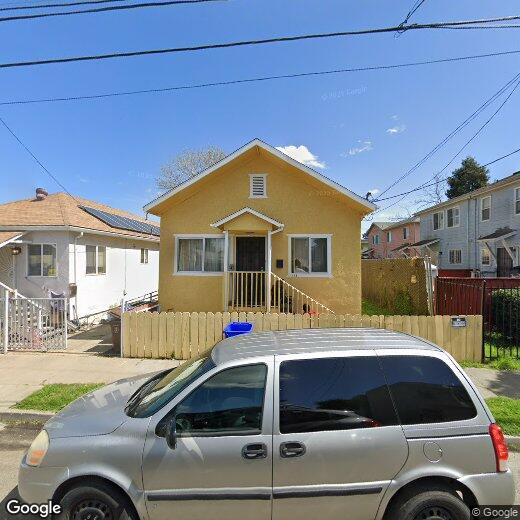
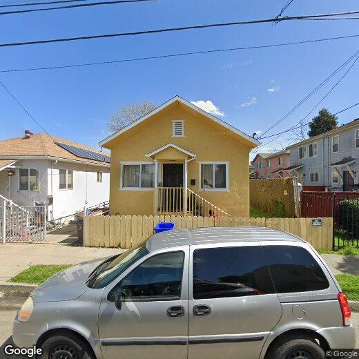
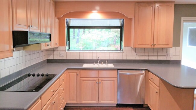
Welcome to this remodeled 4-bedroom,3-bath single-story home located off Richmond Parkway in Richmond,CA. This home features laminate and hardwood flooring throughout,with built-in cabinets that preserve the home's original charm. The unit has a living room,dining room,and washer/dryer hookups in a designated laundry room. The front and back yards are the tenant's responsibility to maintain. There is a small deck area in the rear of the property. No Pets. Tenant is responsible for all utilities,street parking only. The unit is located near freeway entrances and transportation. $ 3700 Rent / $ 3700 Deposit / $ 7400 Total Move In Cost

448 2nd St is a house located in Contra Costa County and the 94801 ZIP Code. This area is served by the West Contra Costa Unified School District attendance zone.

* Price shown is base rent. Excludes user-selected optional fees and variable or usage-based fees and required charges due at or prior to move-in or at move-out. Price, availability, fees, and any applicable rent special are subject to change without notice.
* Square footage definitions vary. Displayed square footage is approximate.

Home Details

Home Type

Single Family Detached Home

Year Built

Built in 1914

Bedrooms and Bathrooms

3 Full Bathrooms 4 Bedrooms

Home Design

Stucco

Interior Spaces

Wood Flooring 1-Story Property

Kitchen

Free-Standing Range

Laundry

Laundry Room Washer and Dryer Hookup

Listing and Financial Details

Assessor Parcel Number 5380500263

Lot Details

3,960 Sq Ft Lot Cul-De-Sac

Utilities

Central Heating

Community Details

Overview

No Home Owners Association South Richmond Subdivision

Contact

  • Listed by Gene Smith | First Republic Real Estate
  • Phone Number
  • Contact
  • Source
    Contra Costa Association of REALTORS®
Copyright © 2026 Bay East, CCAR, bridgeMLS. Based on information from Bay East and Contra Costa Association of REALTORS® and bridgeMLS. All data, including all measurements and calculations of area, is obtained from various sources and has not been, and will not be, verified by broker or MLS. All information should be independently reviewed and verified for accuracy. If a floor plan is included, the floor plan is for illustrative purposes only, and the actual dimensions and layout of the home may differ from the floor plan. Buyer is urged to make a detailed inspection of the property, and if any aspect of a floor plan is critical to the buyer's decision to purchase, buyer must conduct their own measurements and inspection. Properties may or may not be listed by the office/agent presenting the information.
| Edit

Under 30 minutes

Commute Time is calculated at rush hour.
Neighborhood

The Iron Triangle neighborhood sits in the heart of Central Richmond, California. With the area being largely residential, most rentals reside in the upper part of the triangle and an easy three-mile commute north to Point Richmond, a major shipping and industrial area. To the south, Berkeley and Oakland lie roughly 10 miles away via Interstate 580.

Locals often head for the Miller/Knox Regional Shoreline for a bit of jogging or cycling, or to cast a line off the fishing pier. Wade into the waters of San Francisco Bay at Keller Beach on the northern end of the park, or enjoy a show at the Masquers Playhouse, also just outside the Iron Triangle's southern border. Most eateries sit along Interstate 580, including several fast food chains. The MacDonald 80 Shopping Center lies roughly three miles east of the neighborhood. Drive another three miles and find Wildcat Canyon Regional Park and the Tilden Nature Area.

Learn more about living in Iron Triangle 
Education
Colleges & Universities Distance
Drive: 7 min 3.5 mi
Drive: 16 min 9.5 mi
Drive: 20 min 10.6 mi
Drive: 18 min 10.9 mi
448 2nd St is within 7 minutes or 3.5 miles from Contra Costa College. It is also near Berkeley City College and UC Berkeley.
Schools
Public Elementary School
Grades K-5
339 Students
Attendance Zone
Public Elementary & Middle School
Grades PK-8
528 Students
Nearby
Public Middle School
Grades 6-8
381 Students
Attendance Zone
Private Elementary, Middle & High School
Grades K-12
Nearby
Private Elementary, Middle & High School
Grades PK-12
Nearby
Transportation

Transportation options available in Richmond include Richmond Station, located 1.1 miles from 448 2nd St. 448 2nd St is near Metro Oakland International, located 22.6 miles or 31 minutes away, and San Francisco International, located 30.2 miles or 44 minutes away.

Transit / Subway Distance
Drive: 2 min 1.1 mi
Drive: 5 min 2.4 mi
Drive: 7 min 3.3 mi
Drive: 10 min 5.4 mi
Drive: 30 min 17.7 mi
Commuter Rail Distance
Walk: 16 min 0.8 mi
Drive: 10 min 7.7 mi
Drive: 16 min 9.2 mi
Drive: 14 min 10.0 mi
Drive: 16 min 10.1 mi
Airports Distance
Airports Distance
Metro Oakland International
Drive: 31 min 22.6 mi
San Francisco International
Drive: 44 min 30.2 mi
Getting Around
Fairly Walkable
Walkability
50 / 100
Some Public Transit
Transit
50 / 100
Exceptionally Drivable
Drivability
90 / 100
Moderately Bikeable
Bikeability
60 / 100

Scores provided by

What do Walkability, Transit, Drivability, and Bikeability mean? Walkability measures the walking distance to day-to-day needs. Transit measures access to public transportation. Drivability measures congestion, parking availability, and access to major roads. Bikeability measures the suitability for cycling. How It Works
-
Soundscore
- / 100

Traffic

-

Airport

-

Businesses

-

Scores provided by

HowLoud What is a Sound Score Rating? A Sound Score Rating aggregates noise caused by vehicle traffic, airplane traffic and local sources. How It Works
Points of Interest

Time and distance from 448 2nd St.

Shopping Centers Distance
Walk: 13 min 0.7 mi
Drive: 2 min 1.4 mi
Drive: 3 min 1.5 mi
448 2nd St has 3 shopping centers within 1.5 miles, which is about a 3-minute drive. The miles and minutes will be for the farthest away property.
Parks and Recreation Distance
Miller/Knox Regional Shoreline
Drive: 5 min 2.3 mi
Rosie the Riveter WWII Home Front National Historical Park
Drive: 5 min 2.5 mi
Marina Park & Green
Drive: 6 min 2.7 mi
Shimada Friendship Park
Drive: 7 min 3.4 mi
Brooks Island Regional Preserve
Drive: 9 min 3.9 mi
448 2nd St has 5 parks within 3.9 miles, including Rosie the Riveter WWII Home Front National Historical Park, Miller/Knox Regional Shoreline, and Marina Park & Green.
Hospitals Distance
Hospitals Distance
Drive: 19 min 10.9 mi
Drive: 19 min 11.2 mi
Drive: 17 min 12.1 mi
448 2nd St has 3 hospitals within 12.1 miles, the nearest is MarinHealth Medical Center which is 10.9 miles away and a 19 minute drive.
Military Bases Distance
Drive: 7 min 3.6 mi
Drive: 12 min 6.0 mi
Drive: 25 min 16.2 mi
448 2nd St has 3 military bases within 16.2 miles, the nearest is Armory West Contra Costa which is 3.6 miles away and a 7 minute drive.

You May Also Like

Similar Rentals Nearby