

3 Beds
$6,220
Total Monthly Price
Total Monthly Price
New
Prices include all required monthly fees.
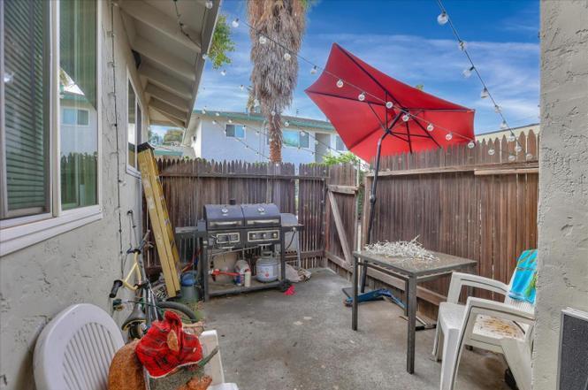
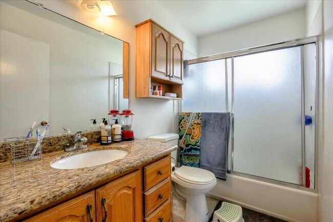
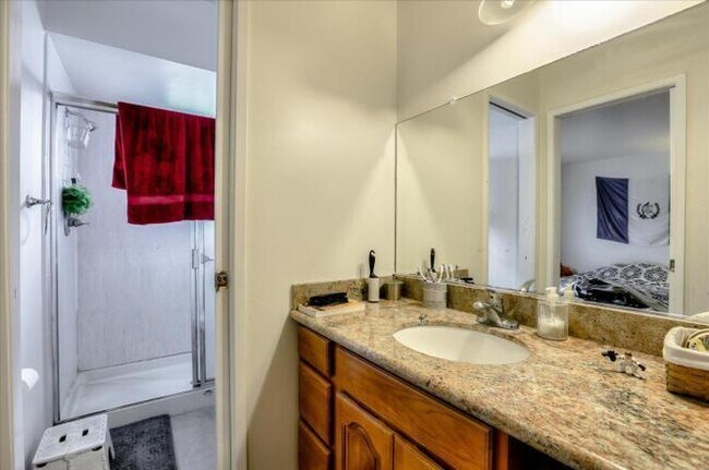
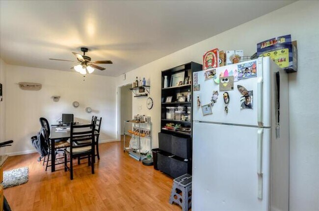
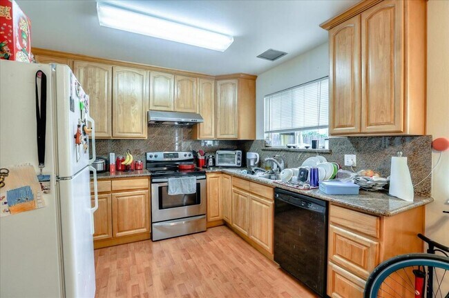
Apartment for Rent


