

$3,000
/ Month
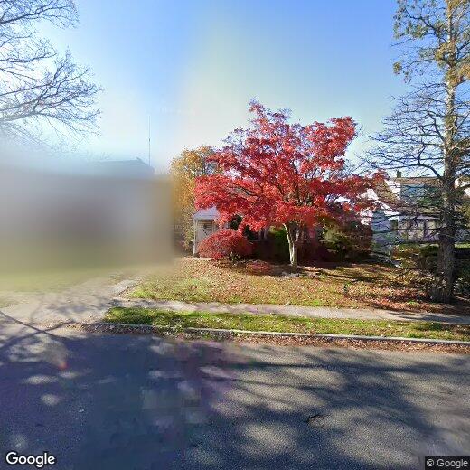
435 Franklin Ave
Hewlett, NY 11557
2 Weeks Ago
|
Edit
Favorites
435 Franklin Ave

Favorites
Check Back Soon for Upcoming Availability
| Beds | Baths | Average SF |
|---|---|---|
| 3 Bedrooms 3 Bedrooms 3 Br | 1 Bath 1 Bath 1 Ba | — |
About This Property
Rent with Option to buy -3 Bedroom - 1 Full bathroom - Living Room - Dining Room - Kitchen - Backyard -Driveway - Storage
435 Franklin Ave is a house located in Nassau County and the 11557 ZIP Code. This area is served by the Hewlett-Woodmere Union Free attendance zone.
Location
Get Directions
Part of the area known as the Five Towns (along with Cedarhurst, Woodmere, Lawrence, and Inwood), Hewlett is nestled on the south shores of Long Island. This community may be miles from Manhattan, but you can easily travel there by way of Hewlett Station. The transit line is in walking distance of grocery stores and local restaurants on Broadway.
Families adore Hewlett because of its great city schools. Grant Park is a community green space near area apartments – and the ice skating rink overlooks the pond! You’ll love this Long Island city, its suburban way of life, and family-friendly atmosphere.
Learn more about living in HewlettBelow are rent ranges for similar nearby apartments
| Beds | Average Size | Lowest | Typical | Premium |
|---|---|---|---|---|
| Studio Studio Studio | 525 Sq Ft | $1,625 | $1,902 | $2,701 |
| 1 Bed 1 Bed 1 Bed | 823 Sq Ft | $620 | $1,978 | $3,247 |
| 2 Beds 2 Beds 2 Beds | 1016 Sq Ft | $1,350 | $2,227 | $5,124 |
| 3 Beds 3 Beds 3 Beds | 1507-1513 Sq Ft | $625 | $2,728 | $4,500 |
| 4 Beds 4 Beds 4 Beds | 1187-1188 Sq Ft | $810 | $1,710 | $15,244 |
Education
| Colleges & Universities | Distance | ||
|---|---|---|---|
| Colleges & Universities | Distance | ||
| Drive: | 11 min | 6.0 mi | |
| Drive: | 15 min | 7.1 mi | |
| Drive: | 14 min | 7.6 mi | |
| Drive: | 20 min | 10.8 mi |
435 Franklin Ave is within 11 minutes or 6.0 miles from Molloy College. It is also near Adelphi University and York College.
Schools


Public Elementary School
Grades 2-5
403 Students
Nearby
Public Elementary School
Grades PK-1
422 Students
Nearby
Public Middle School
Grades 6-8
716 Students
Nearby
Public High School
Grades 9-12
999 Students
Attendance Zone
Private Elementary, Middle & High School
Grades PK-12
237 Students
Nearby
Private Elementary & Middle School
Grades PK-8
667 Students
Nearby
Private High School
Grades 9-11
Nearby
School data provided by
 The GreatSchools Rating helps parents compare schools within a state based on a variety of school quality indicators and provides a helpful picture of how effectively each school serves all of its students. Ratings are on a scale of 1 (below average) to 10 (above average) and can include test scores, college readiness, academic progress, advanced courses, equity, discipline and attendance data. We also advise parents to visit schools, consider other information on school performance and programs, and consider family needs as part of the school selection process.
View GreatSchools Rating Methodology
Data provided by GreatSchools.org © 2025. All rights reserved.
View GreatSchools Rating Methodology
Data provided by GreatSchools.org © 2025. All rights reserved.
Transportation options available in Hewlett include Far Rockaway-Mott Avenue, located 4.2 miles from 435 Franklin Ave. 435 Franklin Ave is near John F Kennedy International, located 8.1 miles or 14 minutes away, and LaGuardia, located 15.1 miles or 25 minutes away.
| Transit / Subway | Distance | ||
|---|---|---|---|
| Transit / Subway | Distance | ||
|
|
Drive: | 8 min | 4.2 mi |
|
|
Drive: | 9 min | 4.6 mi |
|
|
Drive: | 13 min | 7.8 mi |
|
|
Drive: | 15 min | 8.2 mi |
|
|
Drive: | 16 min | 8.2 mi |
| Commuter Rail | Distance | ||
|---|---|---|---|
| Commuter Rail | Distance | ||
|
|
Walk: | 8 min | 0.5 mi |
|
|
Walk: | 13 min | 0.7 mi |
|
|
Drive: | 2 min | 1.2 mi |
|
|
Drive: | 4 min | 1.8 mi |
|
|
Drive: | 5 min | 2.4 mi |
| Airports | Distance | ||
|---|---|---|---|
| Airports | Distance | ||
|
John F Kennedy International
|
Drive: | 14 min | 8.1 mi |
|
LaGuardia
|
Drive: | 25 min | 15.1 mi |
Time and distance from 435 Franklin Ave.
| Shopping Centers | Distance | ||
|---|---|---|---|
| Shopping Centers | Distance | ||
| Walk: | 1 min | 0.1 mi | |
| Walk: | 5 min | 0.3 mi | |
| Walk: | 10 min | 0.6 mi |
435 Franklin Ave has 3 shopping centers within 0.6 mile, which is about a 10-minute walk. The miles and minutes will be for the farthest away property.
| Parks and Recreation | Distance | ||
|---|---|---|---|
| Parks and Recreation | Distance | ||
|
Valley Stream State Park
|
Drive: | 6 min | 2.9 mi |
|
Center for Science Teaching and Learning
|
Drive: | 6 min | 3.2 mi |
|
Brookville Park
|
Drive: | 8 min | 3.3 mi |
|
Bayswater Point State Park
|
Drive: | 10 min | 5.1 mi |
|
Hempstead Lake State Park
|
Drive: | 9 min | 5.1 mi |
435 Franklin Ave has 5 parks within 5.1 miles, including Valley Stream State Park, Center for Science Teaching and Learning, and Brookville Park.
| Hospitals | Distance | ||
|---|---|---|---|
| Hospitals | Distance | ||
| Drive: | 9 min | 4.6 mi | |
| Drive: | 9 min | 5.4 mi | |
| Drive: | 15 min | 8.8 mi |
435 Franklin Ave has 3 hospitals within 8.8 miles, the nearest is St. John's Episcopal Hospital at South Shore which is 4.6 miles away and a 9 minute drive.
| Military Bases | Distance | ||
|---|---|---|---|
| Military Bases | Distance | ||
| Drive: | 23 min | 11.8 mi | |
| Drive: | 26 min | 13.1 mi | |
| Drive: | 34 min | 14.6 mi |
435 Franklin Ave has 3 military bases within 14.6 miles, the nearest is US Coast Guard which is 11.8 miles away and a 23 minute drive.
You May Also Like
Similar Rentals Nearby


What Are Walk Score®, Transit Score®, and Bike Score® Ratings?
Walk Score® measures the walkability of any address. Transit Score® measures access to public transit. Bike Score® measures the bikeability of any address.
What is a Sound Score Rating?
A Sound Score Rating aggregates noise caused by vehicle traffic, airplane traffic and local sources
435 Franklin Ave
Hewlett, NY 11557