
10 Halletts Point
10, 20, 30 Halletts Pt,
Astoria, NY 11102
$3,300 - $6,971
Studio - 2 Beds
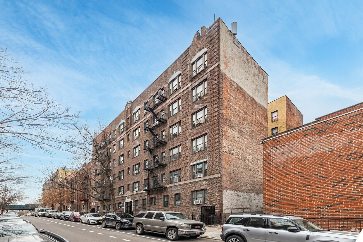
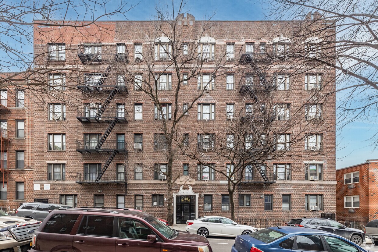
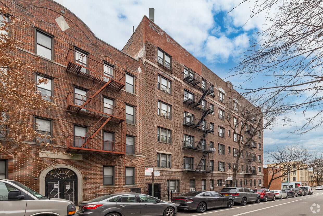
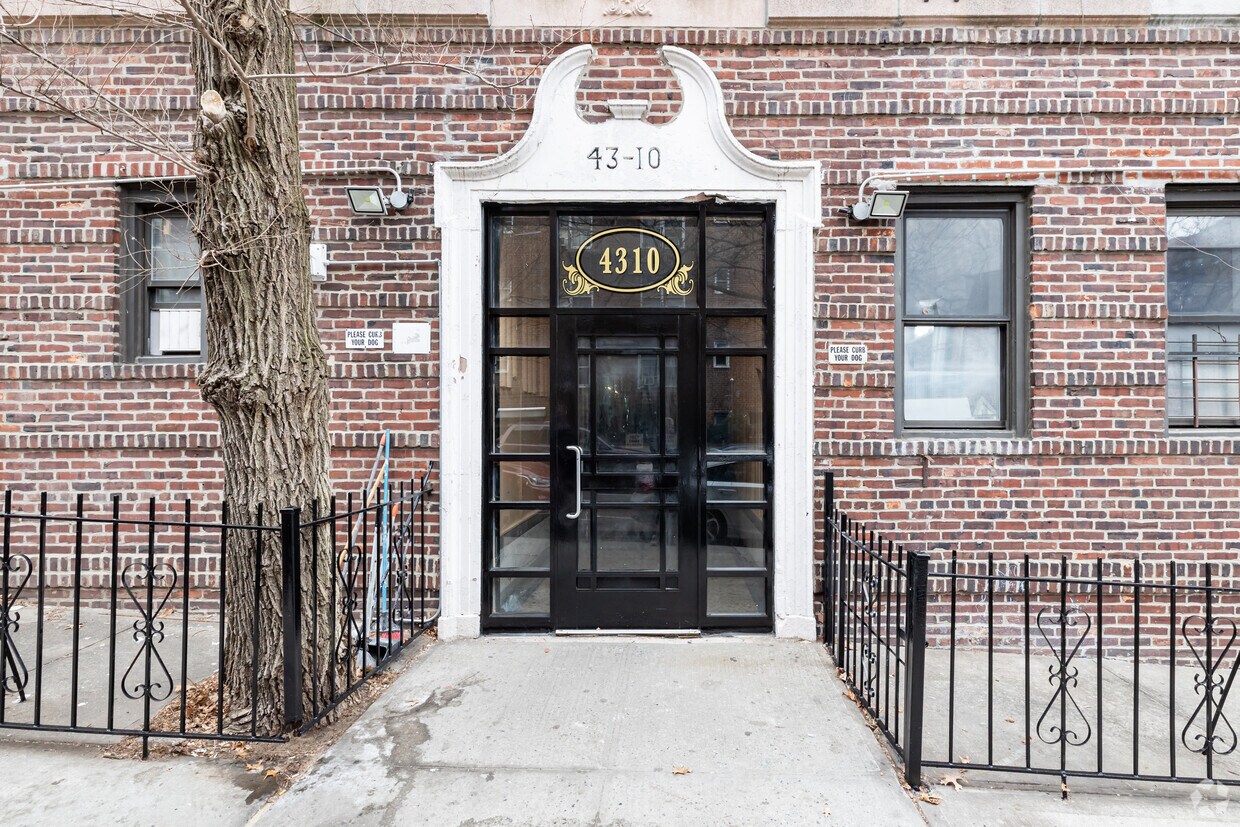

4310 49th St offers a mixture of comfort and quality. This property is situated on 49th St. in the Sunnyside area of Long Island City. The leasing team is excited to help you find your dream apartment. So get a head start on your move. Contact or stop by 4310 49th St to schedule a tour!
4310 49th St is an apartment community located in Queens County and the 11104 ZIP Code. This area is served by the New York City Geographic District #30 attendance zone.
Long Island City sits at the western edge of Queens, separated from Midtown Manhattan by just a sliver of the East River and a short subway ride. Once anchored by warehouses and industrial yards, the neighborhood has spent recent decades transforming into one of New York City's most architecturally layered communities. The East River waterfront offers sweeping views of the Manhattan skyline, and the concentration of art galleries and studio spaces here is among the highest in the entire city. Hunters Point South serves as a quieter, more residential pocket within LIC, while the area near Court Square draws those who want to be close to transit and commercial energy. The housing mix reflects that evolution, ranging from converted industrial lofts to glass-tower apartment communities with rooftop amenities and doorman service. Renters can also find low-rise co-ops and older brick walk-ups tucked alongside newer developments.
Learn more about living in Long Island CityCompare neighborhood and city base rent averages by bedroom.
| Northwestern Queens | Long Island City, NY | |
|---|---|---|
| Studio | $2,406 | $3,064 |
| 1 Bedroom | $3,090 | $3,706 |
| 2 Bedrooms | $4,560 | $5,022 |
| 3 Bedrooms | $6,629 | $8,247 |
| Colleges & Universities | Distance | ||
|---|---|---|---|
| Colleges & Universities | Distance | ||
| Drive: | 3 min | 1.2 mi | |
| Drive: | 8 min | 3.8 mi | |
| Drive: | 9 min | 3.9 mi | |
| Drive: | 9 min | 4.1 mi |


Transportation options available in Long Island City include 52 Street, located 0.2 mile from 4310 49th St. 4310 49th St is near LaGuardia, located 4.0 miles or 9 minutes away, and John F Kennedy International, located 13.0 miles or 21 minutes away.
| Transit / Subway | Distance | ||
|---|---|---|---|
| Transit / Subway | Distance | ||
|
|
Walk: | 3 min | 0.2 mi |
|
|
Walk: | 4 min | 0.2 mi |
|
|
Walk: | 10 min | 0.5 mi |
|
|
Walk: | 13 min | 0.7 mi |
|
|
Drive: | 4 min | 1.1 mi |
| Commuter Rail | Distance | ||
|---|---|---|---|
| Commuter Rail | Distance | ||
|
|
Walk: | 14 min | 0.7 mi |
|
|
Drive: | 5 min | 2.0 mi |
|
|
Drive: | 7 min | 2.8 mi |
|
|
Drive: | 9 min | 4.1 mi |
|
|
Drive: | 10 min | 4.3 mi |
| Airports | Distance | ||
|---|---|---|---|
| Airports | Distance | ||
|
LaGuardia
|
Drive: | 9 min | 4.0 mi |
|
John F Kennedy International
|
Drive: | 21 min | 13.0 mi |
Scores provided by
Traffic
-Airport
-Businesses
-Scores provided by
HowLoud What is a Sound Score Rating? A Sound Score Rating aggregates noise caused by vehicle traffic, airplane traffic and local sources. How It WorksTime and distance from 4310 49th St.
| Shopping Centers | Distance | ||
|---|---|---|---|
| Shopping Centers | Distance | ||
| Walk: | 11 min | 0.6 mi | |
| Walk: | 14 min | 0.8 mi | |
| Walk: | 16 min | 0.9 mi |
| Parks and Recreation | Distance | ||
|---|---|---|---|
| Parks and Recreation | Distance | ||
|
Travers Park
|
Drive: | 5 min | 1.9 mi |
|
Socrates Sculpture Park
|
Drive: | 7 min | 2.4 mi |
|
Queensbridge Park
|
Drive: | 6 min | 2.6 mi |
|
Gantry Plaza State Park
|
Drive: | 7 min | 2.7 mi |
|
Hallets Cove Playground
|
Drive: | 7 min | 2.7 mi |
| Hospitals | Distance | ||
|---|---|---|---|
| Hospitals | Distance | ||
| Drive: | 4 min | 1.7 mi | |
| Drive: | 8 min | 3.8 mi | |
| Drive: | 11 min | 4.1 mi |
| Military Bases | Distance | ||
|---|---|---|---|
| Military Bases | Distance | ||
| Drive: | 22 min | 9.1 mi | |
| Drive: | 19 min | 9.6 mi |
What Are Walk Score®, Transit Score®, and Bike Score® Ratings?
Walk Score® measures the walkability of any address. Transit Score® measures access to public transit. Bike Score® measures the bikeability of any address.
What is a Sound Score Rating?
A Sound Score Rating aggregates noise caused by vehicle traffic, airplane traffic and local sources.

4310 49th St
Long Island City, NY 11104


