$1,295
/ Month
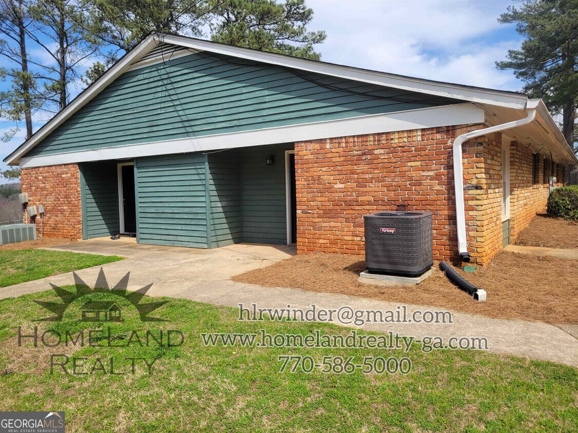
422 GA Hwy 211 Unit F
Winder, GA 30680
2 Weeks Ago
|
Edit
Favorites
422 GA Hwy 211 Unit F

Favorites
Check Back Soon for Upcoming Availability
| Beds | Baths | Average SF |
|---|---|---|
| 2 Bedrooms 2 Bedrooms 2 Br | 1 Bath 1 Bath 1 Ba | 804 SF |
Fees and Policies
The fees listed below are community-provided and may exclude utilities or add-ons. All payments are made directly to the property and are non-refundable unless otherwise specified.
- One-Time Move-In Fees
-
Application Fee$50
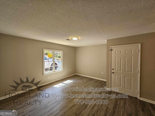
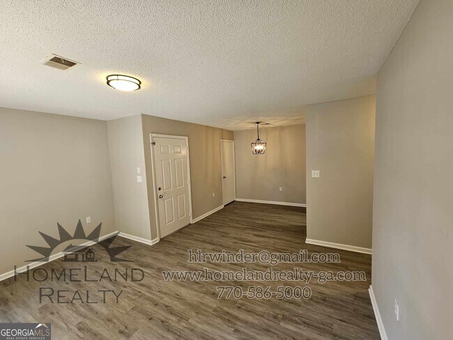
About This Property
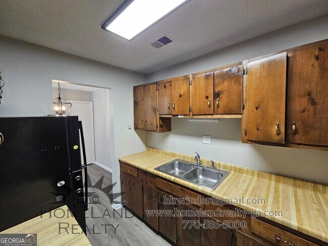
2BR/1BA apartment. water, garbage and lawn care provided Laundry hookups NO PETS
422 Ga Hwy 211 is an apartment community located in Barrow County and the 30680 ZIP Code.
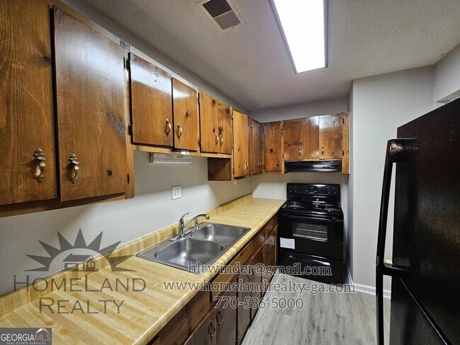
Features
- Range
- Refrigerator
422 GA Hwy 211,
Winder,
GA
30680
Winder is a small city in north central Georgia, located about 25 miles west of Athens and fifty miles east of Atlanta. The city features a thriving commercial district at the center of town, with cozy cafes, specialty shops, and other locally owned businesses operating out of the countless historic buildings in the area. Fort Yargo State Park occupies a large chunk of the city’s south side, with its trails and lake serving as popular destinations for locals when the weather is nice.
Learn more about living in Winder
Amenities
- Range
- Refrigerator
Education
| Colleges & Universities | Distance | ||
|---|---|---|---|
| Colleges & Universities | Distance | ||
| Drive: | 29 min | 17.6 mi | |
| Drive: | 32 min | 19.7 mi | |
| Drive: | 33 min | 21.5 mi | |
| Drive: | 42 min | 26.3 mi |
422 GA Hwy 211 Unit F is within 29 minutes or 17.6 miles from Georgia Gwinnett College. It is also near University of North Georgia and Gwinnett Technical College.
Walkability Near 422 GA Hwy 211 Winder, GA 30680
Getting Around
 What do Walkability, Transit, Drivability, and Bikeability mean?
Walkability measures the walking distance to day-to-day needs.
Transit measures access to public transportation.
Drivability measures congestion, parking availability, and access to major roads.
Bikeability measures the suitability for cycling.
How It Works
What do Walkability, Transit, Drivability, and Bikeability mean?
Walkability measures the walking distance to day-to-day needs.
Transit measures access to public transportation.
Drivability measures congestion, parking availability, and access to major roads.
Bikeability measures the suitability for cycling.
How It Works
Somewhat Walkable
Walkability
20
/ 100
Exceptionally Drivable
Drivability
100
/ 100
Somewhat Bikeable
Bikeability
20
/ 100
Scores provided by
-
Soundscore™
-
/ 100
Traffic
-Airport
-Businesses
-Scores provided by
HowLoud What is a Sound Score Rating? A Sound Score Rating aggregates noise caused by vehicle traffic, airplane traffic and local sources. How It WorksYou May Also Like
Similar Rentals Nearby
-
-
-
-
1 / 16
 2 Beds$1,899+3 Beds$2,405+Total Monthly PriceTotal Monthly Price NewPrices include all required monthly fees.Specials
Pets Allowed Fitness Center Pool In Unit Washer & Dryer Clubhouse Elevator EV Charging
-
-
-
-
2 Beds$1,617+3 Beds$2,157+Total Monthly PriceTotal Monthly Price NewPrices include required monthly fees of $7.Base Rent:2 Beds$1,610+3 Beds$2,150+Specials
Pets Allowed Fitness Center Pool Dishwasher Refrigerator Kitchen
-
-
2 Beds$1,866+3 Beds$1,987+Total Monthly PriceTotal Monthly Price NewPrices include required monthly fees of $262.Base Rent:2 Beds$1,604+3 Beds$1,725+1 Month Free
Pets Allowed Fitness Center Dishwasher Walk-In Closets Clubhouse Balcony Stainless Steel Appliances


What Are Walk Score®, Transit Score®, and Bike Score® Ratings?
Walk Score® measures the walkability of any address. Transit Score® measures access to public transit. Bike Score® measures the bikeability of any address.
What is a Sound Score Rating?
A Sound Score Rating aggregates noise caused by vehicle traffic, airplane traffic and local sources.

422 GA Hwy 211
Winder, GA 30680