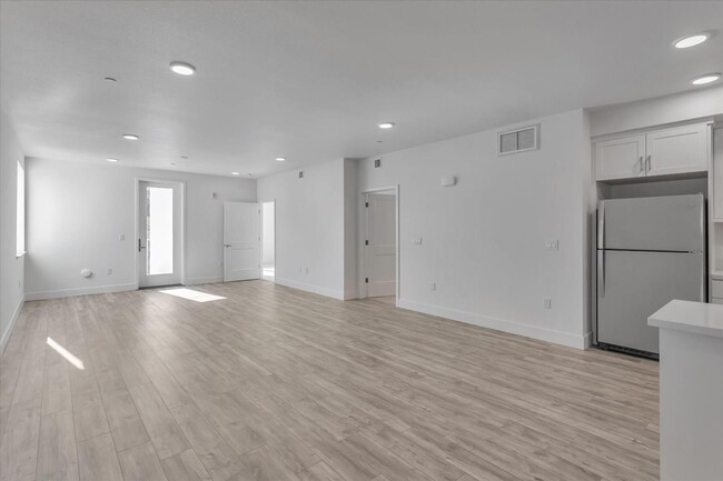
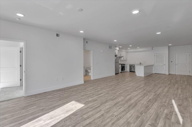
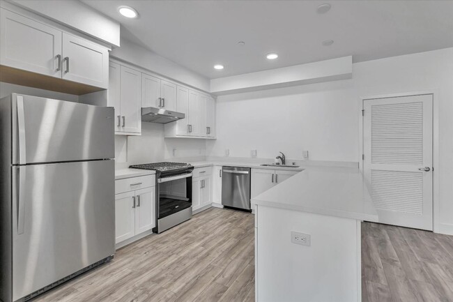


$2,250
Total Monthly Price
Total Monthly Price
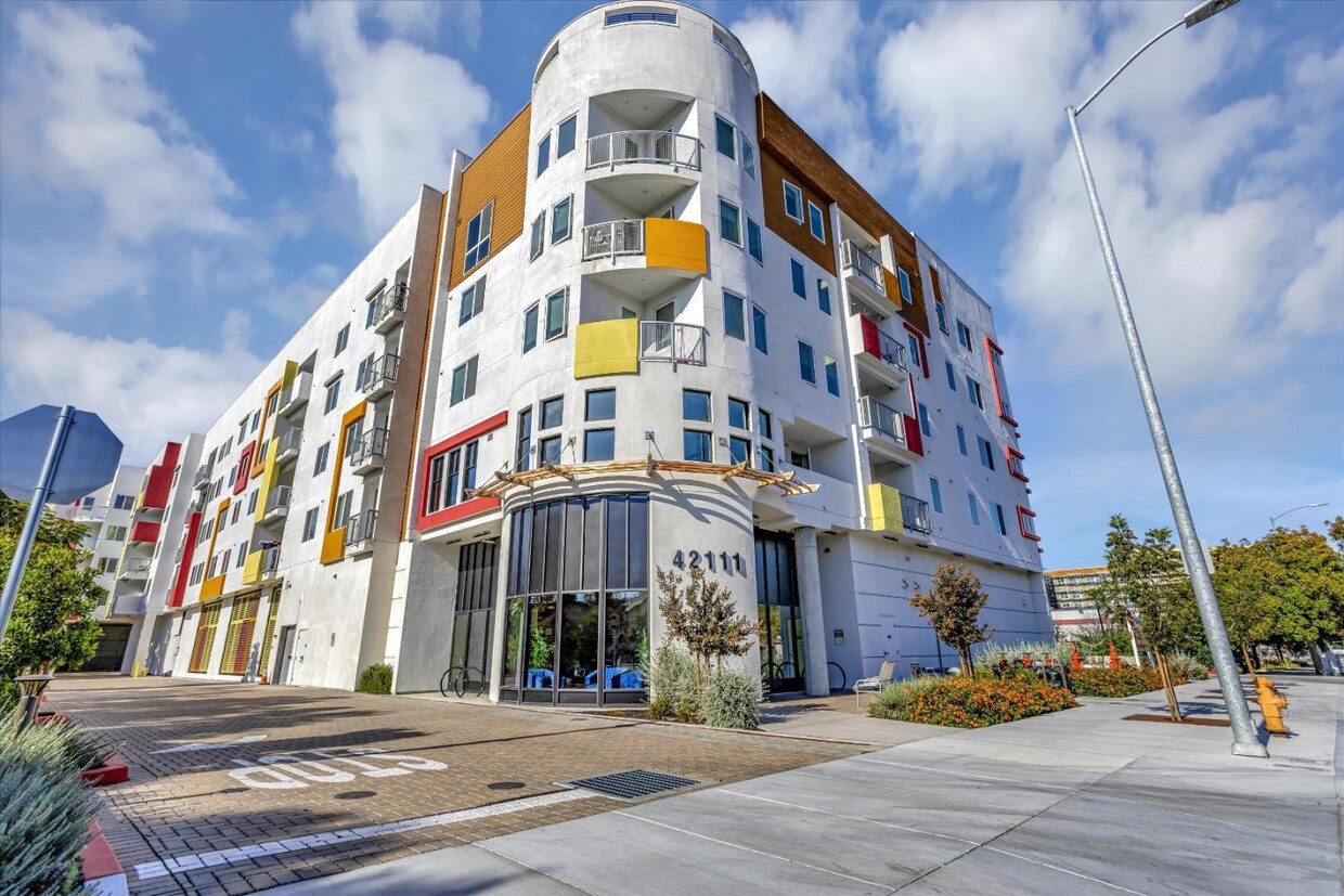
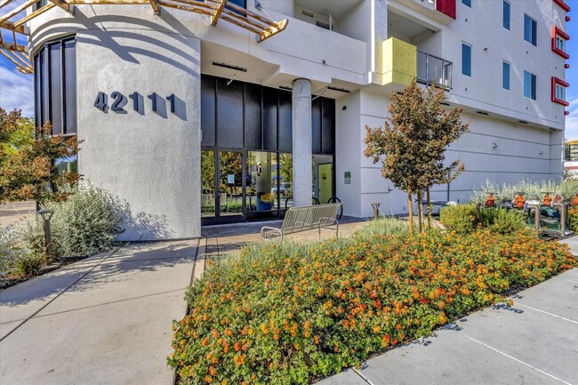
New
Prices include all required monthly fees.
12 Month Lease
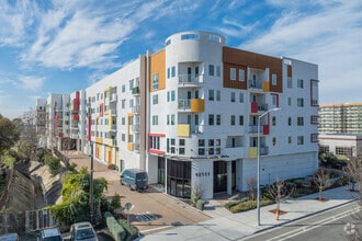
Condo for Rent
1 Bed, 1 Bath, 1,421 sq ft