$5,875
/ Month
412 Trent Ln
Santa Paula, CA 93060
Favorites
805-483-5899
-
Bedrooms
5
-
Bathrooms
3
-
Square Feet
2,122 sq ft
-
Available
Available Sep 1
412 Trent Ln

Favorites
About This Home
$5,875 deposit,
Available Sep 1
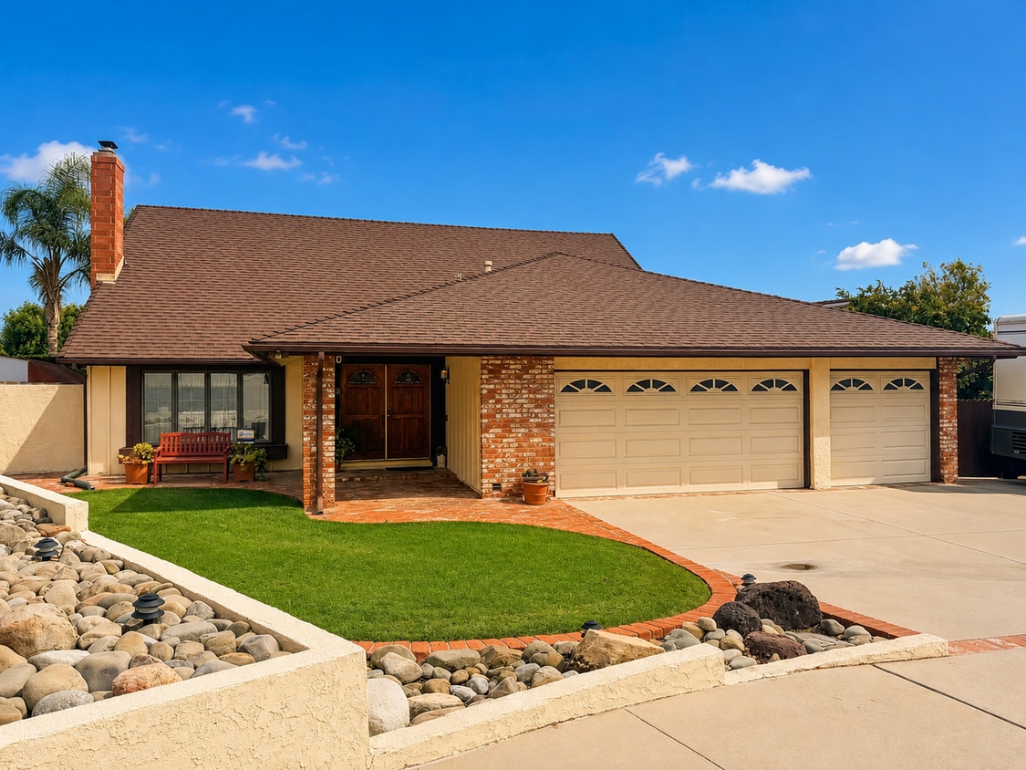
A spacious 5-bedroom, 3-bathroom single-family home offering approximately 2,122 square feet of living space. This home offers a generous floor plan with plenty of room for comfortable living, along with a welcoming fireplace and the space needed for a larger household. The property is currently being prepared for the rental market, with improvements and finishing touches underway. Additional property details will be available as the home nears completion. This Santa Paula home will be available soon. Stay tuned for additional details and showing information. Presented by Cova Realty Sales & Management.
412 Trent Ln is a house located in Ventura County and the 93060 ZIP Code. This area is served by the Santa Paula Unified School District attendance zone.
* Price shown is base rent. Excludes user-selected optional fees and variable or usage-based fees and required charges due at or prior to move-in or at move-out. Price, availability, fees, and any applicable rent special are subject to change without notice.
* Square footage definitions vary. Displayed square footage is approximate.
Fees and Policies
The fees listed below are community-provided and may exclude utilities or add-ons. All payments are made directly to the property and are non-refundable unless otherwise specified.
- Dogs Allowed
-
Fees not specified
-
Weight limit--
-
Pet Limit--
Contact
- Listed by Cova Realty | Cova Realty
- Phone Number
- Contact
Location
Get Directions
Tucked into the Santa Clara River Valley between citrus groves and the rolling hills of Ventura County, Santa Paula, California carries the title "Citrus Capital of the World" with genuine pride. The city's agricultural roots run deep, and that history shapes its character in ways you can still feel walking through the walkable downtown core, where a mix of locally owned shops and long-standing eateries line the streets near the historic California Oil Museum. Neighborhoods range from quiet residential streets close to downtown to hillside pockets with wide-open views toward the surrounding mountains and orchards.
Santa Paula's economy leans on agriculture, light manufacturing, and its proximity to larger employment centers in Ventura and Oxnard, both reachable within a short drive. The city also draws on a tight-knit civic identity that keeps community events and local institutions at the center of everyday life.
Learn more about living in Santa Paula
Education
| Colleges & Universities | Distance | ||
|---|---|---|---|
| Colleges & Universities | Distance | ||
| Drive: | 17 min | 11.7 mi | |
| Drive: | 28 min | 17.2 mi | |
| Drive: | 35 min | 21.9 mi | |
| Drive: | 44 min | 30.0 mi |
412 Trent Ln is within 17 minutes or 11.7 miles from Ventura College. It is also near Oxnard College and CSU Channel Islands.
Schools


Public Elementary, Middle & High School
Grades PK-12
1,623 Students
Nearby
Public Elementary School
Grades K-5
317 Students
Attendance Zone
Public Middle School
Grades 6-8
634 Students
Attendance Zone
Public High School
Grades 9-12
1,494 Students
Attendance Zone
Private Elementary, Middle & High School
Grades K-12
Nearby
Private Elementary & Middle School
Grades PK-8
147 Students
Nearby
Private Elementary & Middle School
Grades K-8
Nearby
School data provided by
 The GreatSchools Rating helps parents compare schools within a state based on a variety of school quality indicators and provides a helpful picture of how effectively each school serves all of its students. Ratings are on a scale of 1 (below average) to 10 (above average) and can include test scores, college readiness, academic progress, advanced courses, equity, discipline and attendance data. We also advise parents to visit schools, consider other information on school performance and programs, and consider family needs as part of the school selection process.
View GreatSchools Rating Methodology
Data provided by GreatSchools.org © 2026. All rights reserved.
The GreatSchools Rating helps parents compare schools within a state based on a variety of school quality indicators and provides a helpful picture of how effectively each school serves all of its students. Ratings are on a scale of 1 (below average) to 10 (above average) and can include test scores, college readiness, academic progress, advanced courses, equity, discipline and attendance data. We also advise parents to visit schools, consider other information on school performance and programs, and consider family needs as part of the school selection process.
View GreatSchools Rating Methodology
Data provided by GreatSchools.org © 2026. All rights reserved.
Getting Around
 What do Walkability, Transit, Drivability, and Bikeability mean?
Walkability measures the walking distance to day-to-day needs.
Transit measures access to public transportation.
Drivability measures congestion, parking availability, and access to major roads.
Bikeability measures the suitability for cycling.
How It Works
What do Walkability, Transit, Drivability, and Bikeability mean?
Walkability measures the walking distance to day-to-day needs.
Transit measures access to public transportation.
Drivability measures congestion, parking availability, and access to major roads.
Bikeability measures the suitability for cycling.
How It Works
Somewhat Walkable
Walkability
30
/ 100
Minimal Public Transit
Transit
0
/ 100
Exceptionally Drivable
Drivability
100
/ 100
Somewhat Bikeable
Bikeability
30
/ 100
Scores provided by
What do Walkability, Transit, Drivability, and Bikeability mean?
Walkability measures the walking distance to day-to-day needs.
Transit measures access to public transportation.
Drivability measures congestion, parking availability, and access to major roads.
Bikeability measures the suitability for cycling.
How It Works
-
Soundscore™
-
/ 100
Traffic
-Airport
-Businesses
-Scores provided by
HowLoud What is a Sound Score Rating? A Sound Score Rating aggregates noise caused by vehicle traffic, airplane traffic and local sources. How It WorksYou May Also Like
Similar Rentals Nearby
-
-
-
-
-
-
-
-
-
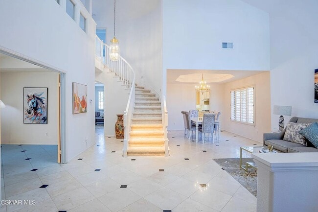
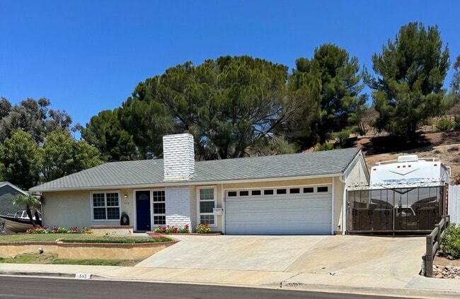
 6 Beds, 4 Baths, 3,129 sq ft$5,800Total Monthly PriceTotal Monthly Price NewPrices include all required monthly fees.348 Brister Park Ct
 -
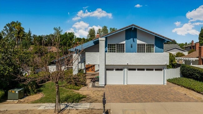
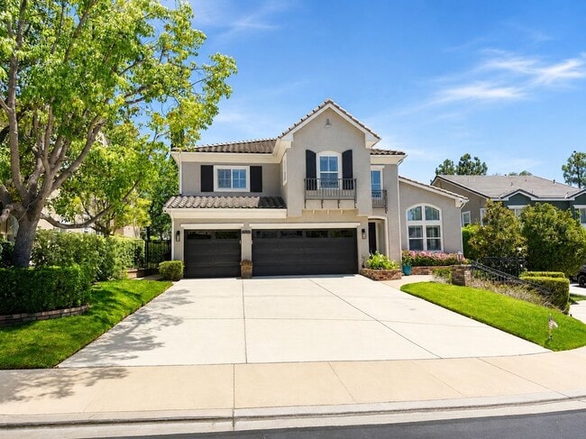
 4 Beds, 3 Baths, 2,732 sq ft$6,500Total Monthly Price12 Month LeaseTotal Monthly Price NewPrices include all required monthly fees.1470 Viewpoint Dr
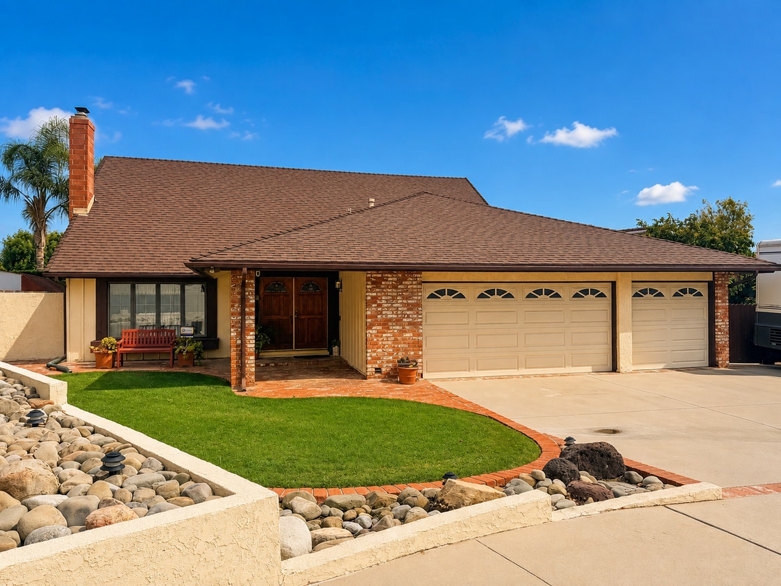
412 Trent Ln
Santa Paula, CA 93060