
Hue39
3909 San Fernando Rd,
Glendale, CA 91204
$2,650 - $3,550
1-2 Beds
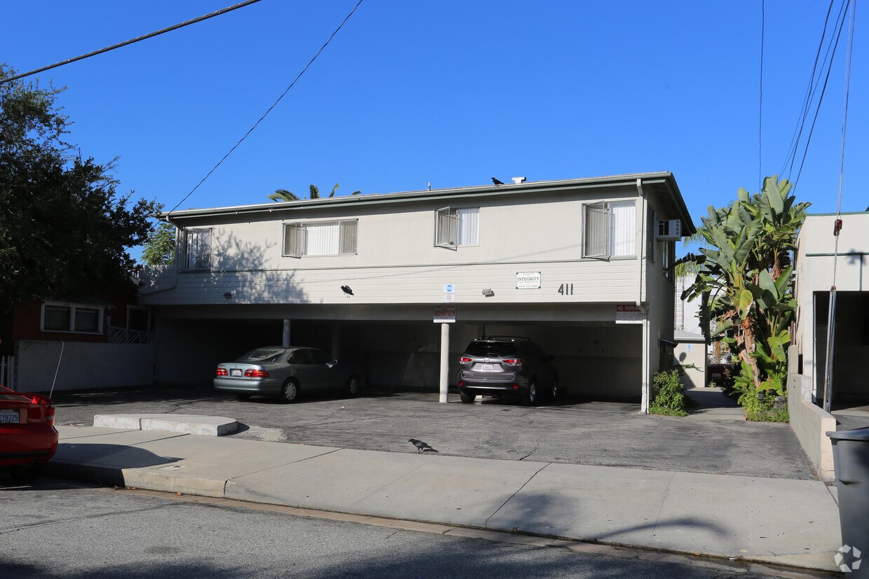
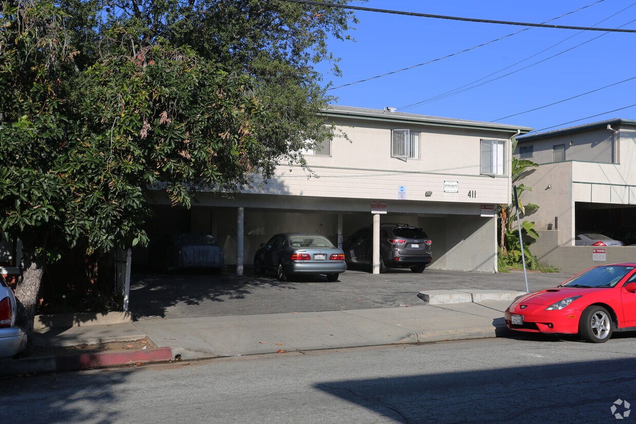
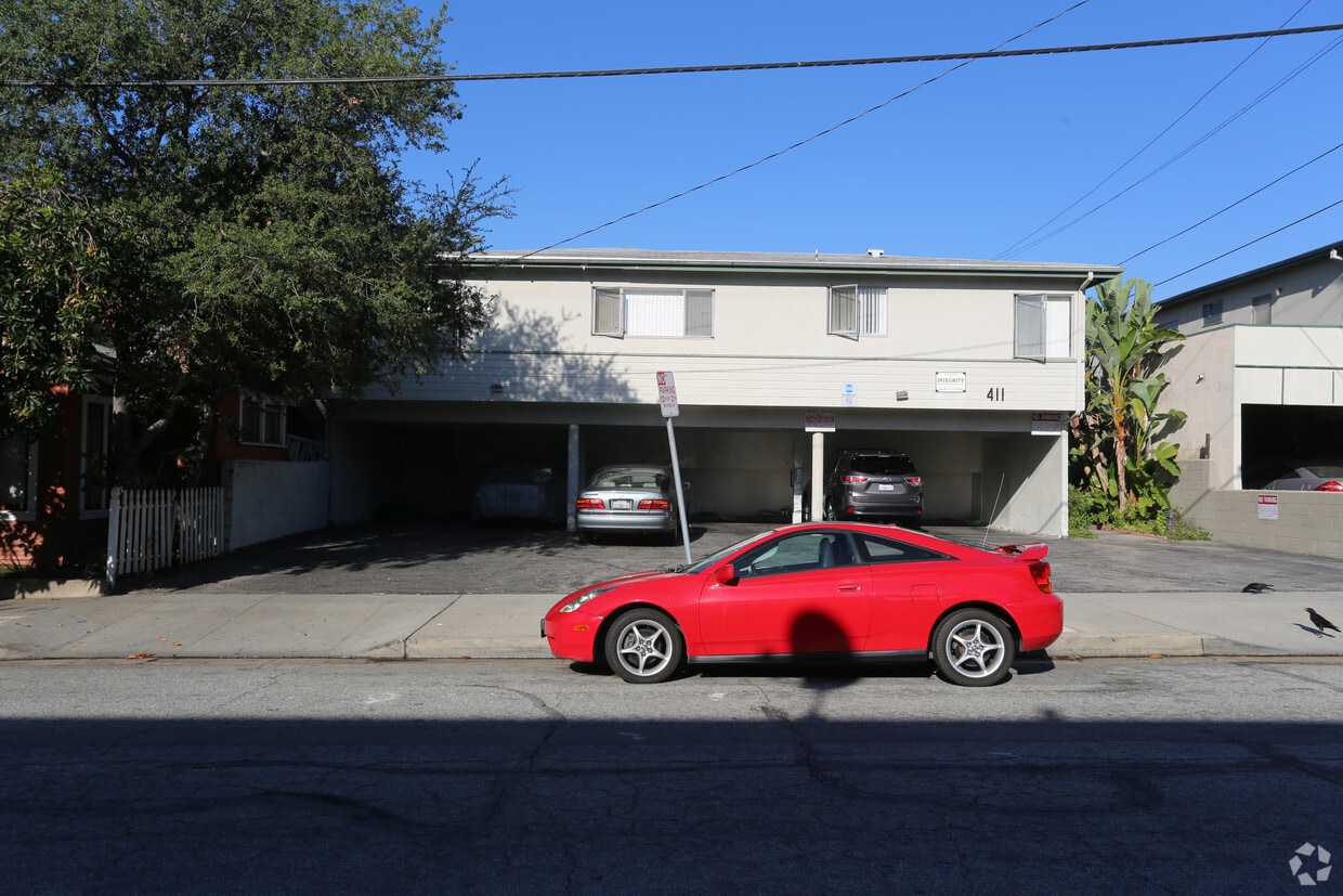
Meet your new apartment at 411 Naranja Dr in Glendale, CA. The location of this community is on Naranja Dr. in Glendale. From amenities to availability, the professional leasing staff is available to assist you in finding your perfect place. Come for a visit to check out the current floorplan options. Contact us or drop by the leasing office to check the availability and schedule a tour today and make your move to 411 Naranja Dr.
411 Naranja Dr is an apartment community located in Los Angeles County and the 91206 ZIP Code. This area is served by the Glendale Unified attendance zone.
Located in the San Fernando Valley, Citrus Grove allows residents to enjoy some of the best Glendale and Los Angeles County has to offer. This palm-tree-lined, family-friendly neighborhood has excellent schools, several parks, and access to plenty of amenities. Along with its own restaurants and stores, Citrus Grove is only a mile east of Downtown Glendale, so residents live within minutes of a plethora of dining and shopping options, including Glendale Galleria and the Americana at Brand. Highways 2 and 32 connect the Citrus Grove neighborhood with Interstate 5, allowing trips up and down California in all directions, whether the aim is Los Angeles or the coast. The neighborhood is convenient to multiple local favorites including Dodger Stadium and the iconic Griffith Park. Complemented by views of the Verdugo Mountains, Citrus Grove has Mediterranean-style apartments, condos, townhouses, and houses available for rent.
Learn more about living in Citrus Grove| Colleges & Universities | Distance | ||
|---|---|---|---|
| Colleges & Universities | Distance | ||
| Drive: | 3 min | 1.5 mi | |
| Drive: | 7 min | 3.1 mi | |
| Drive: | 13 min | 7.0 mi | |
| Drive: | 14 min | 7.3 mi |


Transportation options available in Glendale include Southwest Museum Station, located 5.1 miles from 411 Naranja Dr. 411 Naranja Dr is near Bob Hope, located 11.2 miles or 17 minutes away, and Los Angeles International, located 23.2 miles or 37 minutes away.
| Transit / Subway | Distance | ||
|---|---|---|---|
| Transit / Subway | Distance | ||
|
|
Drive: | 11 min | 5.1 mi |
|
|
Drive: | 11 min | 5.7 mi |
|
|
Drive: | 12 min | 6.2 mi |
|
|
Drive: | 11 min | 6.4 mi |
|
|
Drive: | 13 min | 7.4 mi |
| Commuter Rail | Distance | ||
|---|---|---|---|
| Commuter Rail | Distance | ||
|
|
Drive: | 7 min | 3.1 mi |
|
|
Drive: | 9 min | 5.7 mi |
|
|
Drive: | 13 min | 8.4 mi |
|
|
Drive: | 17 min | 8.8 mi |
|
|
Drive: | 15 min | 9.1 mi |
| Airports | Distance | ||
|---|---|---|---|
| Airports | Distance | ||
|
Bob Hope
|
Drive: | 17 min | 11.2 mi |
|
Los Angeles International
|
Drive: | 37 min | 23.2 mi |
Time and distance from 411 Naranja Dr.
| Shopping Centers | Distance | ||
|---|---|---|---|
| Shopping Centers | Distance | ||
| Walk: | 5 min | 0.3 mi | |
| Walk: | 8 min | 0.4 mi | |
| Walk: | 13 min | 0.7 mi |
| Parks and Recreation | Distance | ||
|---|---|---|---|
| Parks and Recreation | Distance | ||
|
Elyria Canyon Park
|
Drive: | 10 min | 4.3 mi |
|
Marsh Park
|
Drive: | 10 min | 5.1 mi |
|
Descanso Gardens
|
Drive: | 9 min | 5.3 mi |
|
Los Angeles Zoo
|
Drive: | 16 min | 5.5 mi |
|
Bird Sanctuary
|
Drive: | 12 min | 5.7 mi |
| Hospitals | Distance | ||
|---|---|---|---|
| Hospitals | Distance | ||
| Walk: | 14 min | 0.7 mi | |
| Drive: | 6 min | 2.9 mi | |
| Drive: | 8 min | 4.7 mi |
| Military Bases | Distance | ||
|---|---|---|---|
| Military Bases | Distance | ||
| Drive: | 34 min | 24.7 mi |
What Are Walk Score®, Transit Score®, and Bike Score® Ratings?
Walk Score® measures the walkability of any address. Transit Score® measures access to public transit. Bike Score® measures the bikeability of any address.
What is a Sound Score Rating?
A Sound Score Rating aggregates noise caused by vehicle traffic, airplane traffic and local sources

411 Naranja Dr
Glendale, CA 91206


 - AVA Burbank")
 - Violet on Virgil")


