
$2,499 / Month
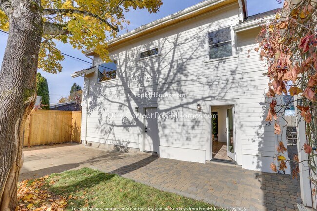
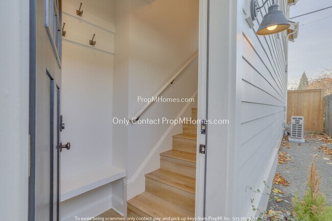
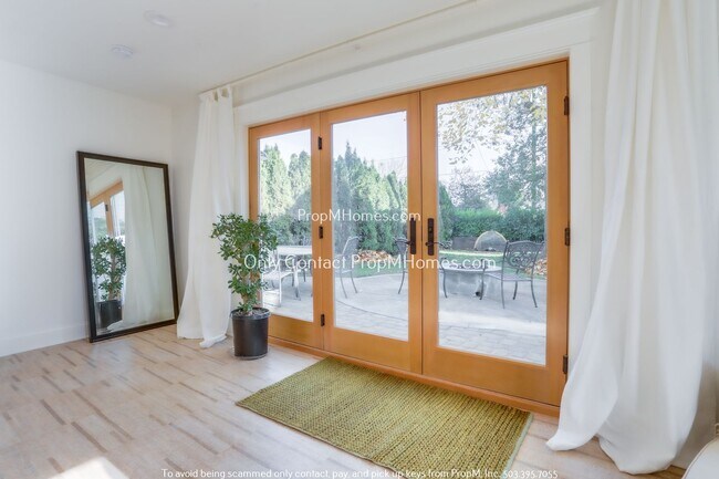
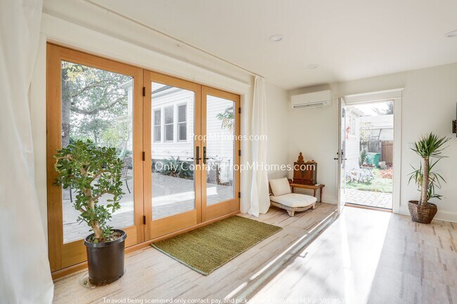
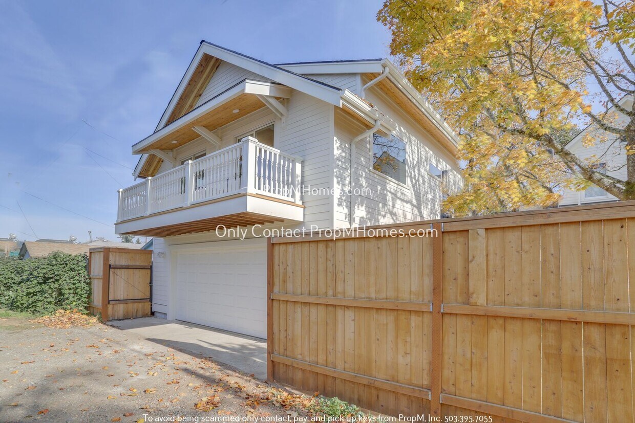
3915 SE 68th Ave Unit 3915 SE 68th Avenue B
Portland, OR 97206
2 Weeks Ago
Favorites
-
Bedrooms
2
-
Bathrooms
1.5
-
Square Feet
1,000 sq ft
3915 SE 68th Ave Unit 3915 SE 68th Avenue B

Favorites
Located about six miles southeast of Downtown Portland, Foster-Powell feels a world away from the clamor of the city. Residential areas make up most of the neighborhood, and locals enjoy peaceful, walkable streets and a strong community spirit fostered by the active neighborhood association. Kern Park and Essex Park provide open green spaces for jogging, dog walking, or impromptu picnics.
If you want to live close to the action in Foster-Powell — called FoPo by those in the know — look for apartments near the commercial areas along SE Powell Boulevard and SE 82nd Avenue. Here, residents gather to shop or to indulge in pan-Asian cuisine. For a true sense of the neighborhood camaraderie, stop in for brunch at the ultra-friendly Midpoint Food and Drink.
Learn more about living in Foster-Powell
Education
| Colleges & Universities | Distance | ||
|---|---|---|---|
| Colleges & Universities | Distance | ||
| Drive: | 5 min | 1.7 mi | |
| Drive: | 11 min | 3.5 mi | |
| Drive: | 15 min | 5.6 mi | |
| Drive: | 13 min | 7.1 mi |
3915 SE 68th Ave Unit 3915 SE 68th Avenue B is within 5 minutes or 1.7 miles from Portland Community College. It is also near Reed College and Oregon Health & Sci Waterfront.
Transportation options available in Portland include Se Powell Blvd, located 1.6 miles from 3915 SE 68th Ave Unit 3915 SE 68th Avenue B. 3915 SE 68th Ave Unit 3915 SE 68th Avenue B is near Portland International, located 9.8 miles or 18 minutes away.
| Transit / Subway | Distance | ||
|---|---|---|---|
| Transit / Subway | Distance | ||
|
|
Drive: | 4 min | 1.6 mi |
|
|
Drive: | 5 min | 2.0 mi |
|
|
Drive: | 6 min | 2.7 mi |
|
|
Drive: | 7 min | 2.8 mi |
|
|
Drive: | 9 min | 4.3 mi |
| Commuter Rail | Distance | ||
|---|---|---|---|
| Commuter Rail | Distance | ||
|
|
Drive: | 17 min | 6.1 mi |
|
|
Drive: | 19 min | 11.6 mi |
|
|
Drive: | 26 min | 12.7 mi |
|
|
Drive: | 26 min | 12.7 mi |
|
|
Drive: | 27 min | 13.9 mi |
| Airports | Distance | ||
|---|---|---|---|
| Airports | Distance | ||
|
Portland International
|
Drive: | 18 min | 9.8 mi |
Time and distance from 3915 SE 68th Ave Unit 3915 SE 68th Avenue B.
| Shopping Centers | Distance | ||
|---|---|---|---|
| Shopping Centers | Distance | ||
| Walk: | 9 min | 0.5 mi | |
| Walk: | 10 min | 0.5 mi | |
| Walk: | 16 min | 0.8 mi |
3915 SE 68th Ave Unit 3915 SE 68th Avenue B has 3 shopping centers within 0.8 mile, which is about a 16-minute walk. The miles and minutes will be for the farthest away property.
| Parks and Recreation | Distance | ||
|---|---|---|---|
| Parks and Recreation | Distance | ||
|
Creston Park
|
Drive: | 4 min | 1.3 mi |
|
Brentwood Park
|
Drive: | 7 min | 1.9 mi |
|
Lents Park
|
Drive: | 7 min | 2.2 mi |
|
Mt. Tabor Park
|
Drive: | 9 min | 2.4 mi |
|
Kelly Butte Natural Area
|
Drive: | 7 min | 2.6 mi |
3915 SE 68th Ave Unit 3915 SE 68th Avenue B has 5 parks within 2.6 miles, including Creston Park, Mt. Tabor Park, and Lents Park.
| Hospitals | Distance | ||
|---|---|---|---|
| Hospitals | Distance | ||
| Drive: | 8 min | 2.9 mi | |
| Drive: | 9 min | 3.3 mi | |
| Drive: | 14 min | 4.9 mi |
3915 SE 68th Ave Unit 3915 SE 68th Avenue B has 3 hospitals within 4.9 miles, the nearest is Adventist Health Portland which is 2.9 miles away and a 8 minute drive.
| Military Bases | Distance | ||
|---|---|---|---|
| Military Bases | Distance | ||
| Drive: | 18 min | 9.1 mi | |
| Drive: | 42 min | 23.7 mi |
3915 SE 68th Ave Unit 3915 SE 68th Avenue B is 9.1 miles from Portland Airport Air Guard Station, and is convenient to other military bases, including Camp Bonneville Military Reservation.
You May Also Like
Similar Rentals Nearby


What Are Walk Score®, Transit Score®, and Bike Score® Ratings?
Walk Score® measures the walkability of any address. Transit Score® measures access to public transit. Bike Score® measures the bikeability of any address.
What is a Sound Score Rating?
A Sound Score Rating aggregates noise caused by vehicle traffic, airplane traffic and local sources
3915 SE 68th Ave
Portland, OR 97206