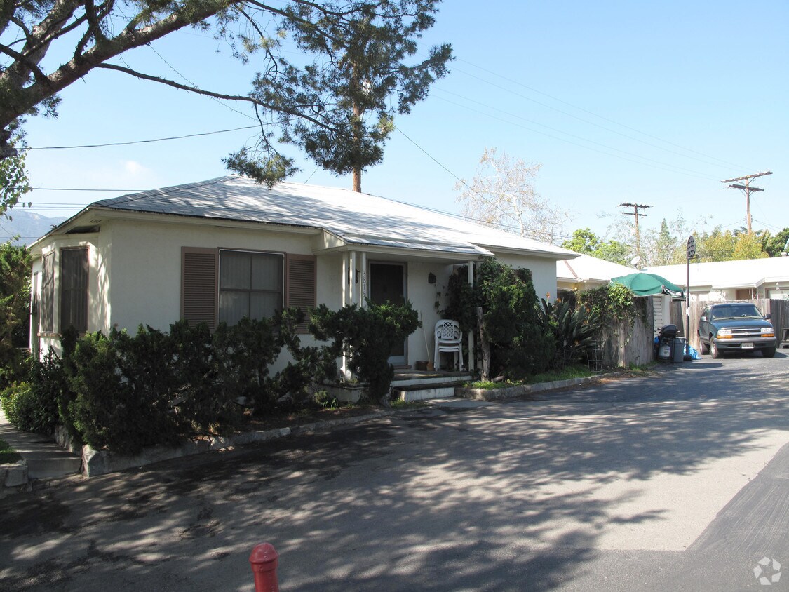
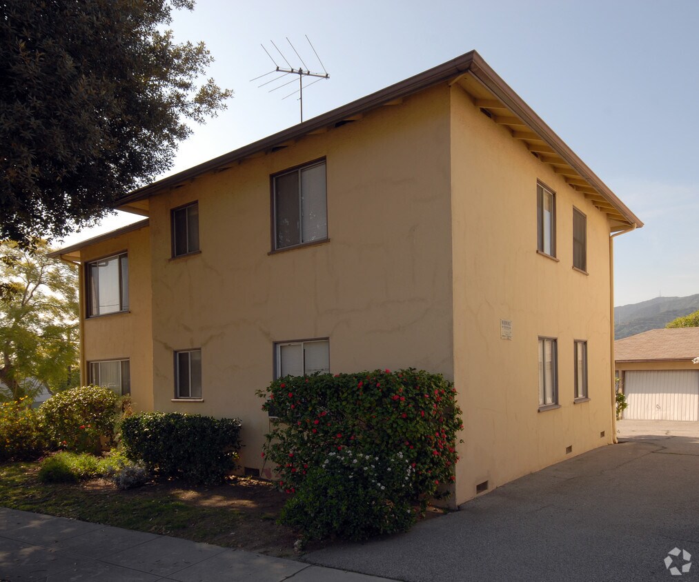
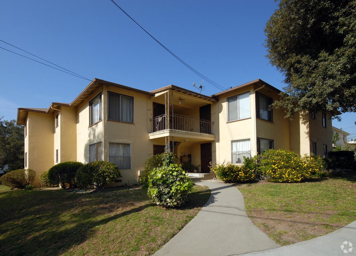
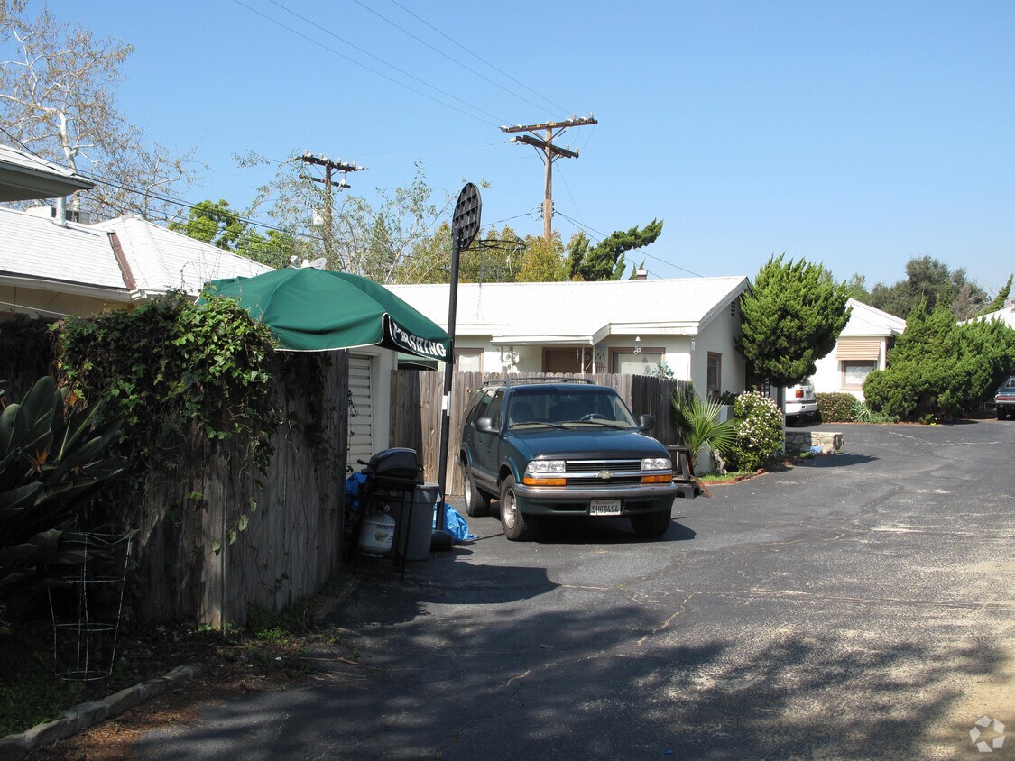
3815 Orangedale Ave
3815 Orangedale Ave,
Montrose,
CA
91020
2 Weeks Ago
Favorites
3815 Orangedale Ave
Favorites
Check Back Soon for Upcoming Availability
| Beds | Baths | Average SF | Availability |
|---|---|---|---|
| 1 Bedroom 1 Bedroom 1 Br | 1 Bath 1 Bath 1 Ba | — | Not Available |
| 2 Bedrooms 2 Bedrooms 2 Br | 1 Bath 1 Bath 1 Ba | — | Not Available |
| 2 Bedrooms 2 Bedrooms 2 Br | 2 Baths 2 Baths 2 Ba | — | Not Available |
Fees and Policies
Details
Property Information
-
Built in 1946
-
6 units/1 story
About 3815 Orangedale Ave Montrose, CA 91020
Explore your new place at 3815 Orangedale Ave. In Montrose's 91020 area, living here gives you a number of nearby points of interest. Make a visit to check out the current floorplan options. Here at this community, the professional leasing staff is ready to help you find your new place. Experience a new standard at 3815 Orangedale Ave.
3815 Orangedale Ave is an apartment community located in Los Angeles County and the 91020 ZIP Code. This area is served by the Glendale Unified attendance zone.
Location
Get Directions
Montrose, California is often linked with its neighboring community, La Crescenta, and referred to as La Crescenta-Montrose. Located just south of I-210 and west of Highway 2, Montrose is a busy LA-area community, minutes from Glendale, Pasadena, Burbank, and Downtown Los Angeles. Glendale Community College is directly south of Montrose, and the Glendale Galleria is roughly five miles south. Other nearby destinations include the Rose Bowl Stadium, the Los Angeles Zoo, the Hollywood Sign, Griffith Park, and Dodger Stadium.
Montrose is in the foothills of the Angeles National Forest, a vast park covering more than 700,000 acres of the San Gabriel and Sierra Pelona mountain ranges. With more than 60 campgrounds, two ski areas, and 697 miles of hiking trails, this is an impressive backyard for your Montrose apartment.
Learn more about living in MontroseBelow are rent ranges for similar nearby apartments
Education
| Colleges & Universities | Distance | ||
|---|---|---|---|
| Colleges & Universities | Distance | ||
| Drive: | 7 min | 4.4 mi | |
| Drive: | 14 min | 6.7 mi | |
| Drive: | 13 min | 7.3 mi | |
| Drive: | 19 min | 11.9 mi |
3815 Orangedale Ave is within 7 minutes or 4.4 miles from Glendale Community College. It is also near Art Center College of Design and Occidental College.
Schools


Public Elementary School
Grades K-6
589 Students
Attendance Zone
Public Elementary School
Grades K-6
230 Students
Nearby
Public Elementary School
Grades K-5
628 Students
Nearby
Charter Elementary School
Grades K-5
75 Students
Nearby
Public Middle School
Grades 7-8
1,275 Students
Attendance Zone
Public High School
Grades 9-12
2,488 Students
Attendance Zone
Private Elementary School
Grades PK-6
109 Students
Nearby
Private Elementary & Middle School
Grades PK-8
194 Students
Nearby
Private Elementary, Middle & High School
Grades K-12
Nearby
Private Elementary & Middle School
Grades PK-8
343 Students
Nearby
School data provided by
 The GreatSchools Rating helps parents compare schools within a state based on a variety of school quality indicators and provides a helpful picture of how effectively each school serves all of its students. Ratings are on a scale of 1 (below average) to 10 (above average) and can include test scores, college readiness, academic progress, advanced courses, equity, discipline and attendance data. We also advise parents to visit schools, consider other information on school performance and programs, and consider family needs as part of the school selection process.
View GreatSchools Rating Methodology
Data provided by GreatSchools.org © 2025. All rights reserved.
View GreatSchools Rating Methodology
Data provided by GreatSchools.org © 2025. All rights reserved.
Transportation options available in Montrose include Memorial Park Station, located 8.1 miles from 3815 Orangedale Ave. 3815 Orangedale Ave is near Bob Hope, located 12.1 miles or 20 minutes away, and Los Angeles International, located 27.2 miles or 41 minutes away.
| Transit / Subway | Distance | ||
|---|---|---|---|
| Transit / Subway | Distance | ||
|
|
Drive: | 13 min | 8.1 mi |
|
|
Drive: | 13 min | 8.4 mi |
|
|
Drive: | 12 min | 8.7 mi |
|
|
Drive: | 14 min | 9.0 mi |
|
|
Drive: | 16 min | 9.5 mi |
| Commuter Rail | Distance | ||
|---|---|---|---|
| Commuter Rail | Distance | ||
|
|
Drive: | 13 min | 9.0 mi |
|
|
Drive: | 15 min | 9.1 mi |
|
|
Drive: | 17 min | 11.0 mi |
|
|
Drive: | 19 min | 11.7 mi |
| Drive: | 19 min | 12.3 mi |
| Airports | Distance | ||
|---|---|---|---|
| Airports | Distance | ||
|
Bob Hope
|
Drive: | 20 min | 12.1 mi |
|
Los Angeles International
|
Drive: | 41 min | 27.2 mi |
Time and distance from 3815 Orangedale Ave.
| Shopping Centers | Distance | ||
|---|---|---|---|
| Shopping Centers | Distance | ||
| Walk: | 12 min | 0.7 mi | |
| Walk: | 14 min | 0.7 mi | |
| Walk: | 15 min | 0.8 mi |
3815 Orangedale Ave has 3 shopping centers within 0.8 mile, which is about a 15-minute walk. The miles and minutes will be for the farthest away property.
| Parks and Recreation | Distance | ||
|---|---|---|---|
| Parks and Recreation | Distance | ||
|
Descanso Gardens
|
Drive: | 4 min | 1.6 mi |
|
Jet Propulsion Laboratory
|
Drive: | 9 min | 5.5 mi |
|
La Tuna Canyon Park
|
Drive: | 8 min | 5.6 mi |
|
Kidspace Children's Museum
|
Drive: | 12 min | 7.4 mi |
|
Los Angeles Zoo
|
Drive: | 21 min | 12.3 mi |
3815 Orangedale Ave has 5 parks within 12.3 miles, including Descanso Gardens, Jet Propulsion Laboratory, and La Tuna Canyon Park.
| Hospitals | Distance | ||
|---|---|---|---|
| Hospitals | Distance | ||
| Walk: | 20 min | 1.0 mi | |
| Drive: | 9 min | 5.3 mi | |
| Drive: | 12 min | 9.1 mi |
3815 Orangedale Ave has 3 hospitals within 9.1 miles, the nearest is USC Verdugo Hills Hospital which is 1.0 miles away and a 20 minute walk.
| Military Bases | Distance | ||
|---|---|---|---|
| Military Bases | Distance | ||
| Drive: | 38 min | 28.8 mi |
3815 Orangedale Ave is 28.8 miles and a 38 minute drive from Los Angeles Air Force Base.
You May Also Like
What neighborhood is the property located in?
3815 Orangedale Ave Montrose, CA 91020 is in Sparr Heights in the city of Montrose. Here you’ll find three shopping centers within 0.8 mile of the property. Five parks are within 12.3 miles, including Descanso Gardens, Jet Propulsion Laboratory, and La Tuna Canyon Park.
Similar Rentals Nearby

 - AVA Burbank")


 - Violet on Virgil")


What Are Walk Score®, Transit Score®, and Bike Score® Ratings?
Walk Score® measures the walkability of any address. Transit Score® measures access to public transit. Bike Score® measures the bikeability of any address.
What is a Sound Score Rating?
A Sound Score Rating aggregates noise caused by vehicle traffic, airplane traffic and local sources

3815 Orangedale Ave
Montrose, CA 91020
Responded To This Review