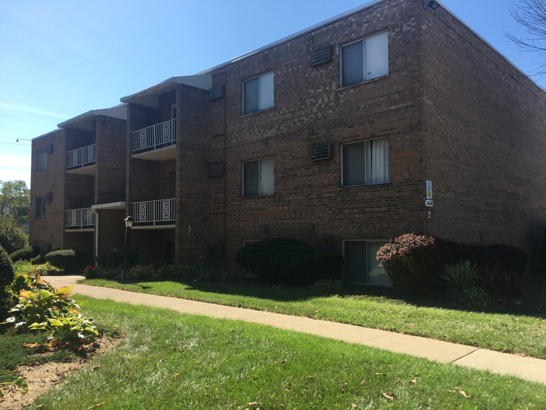
3608 Westwood Northern Blvd
3608 Westwood Northern Blvd,
Cheviot,
OH
45211
2 Weeks Ago
Favorites
3608 Westwood Northern Blvd

Favorites
Check Back Soon for Upcoming Availability
Fees and Policies
The fees below are based on community-supplied data and may exclude additional fees and utilities.
- Parking
-
Surface Lot--
Details
Lease Options
-
12 Months
About 3608 Westwood Northern Blvd Cheviot, OH 45211
Very nice, large 2 bedroom apartment located in Westwood. Professionally Managed within the Seven Gardens Complex. Dining area in unit. No Pets. S/D same as one months rent. Owner not accepting assistance. Off-street parking and near bus line. Refrigerator and oven/range included. Owners pays water and trash. If interested contact Matt at (513) 602-4800 ex. 6 or remaxleasingwest@outlook.com.
3608 Westwood Northern Blvd is an apartment community located in Hamilton County and the 45211 ZIP Code.
Location
Get Directions
Below are rent ranges for similar nearby apartments
Education
| Colleges & Universities | Distance | ||
|---|---|---|---|
| Colleges & Universities | Distance | ||
| Drive: | 15 min | 6.4 mi | |
| Drive: | 15 min | 6.5 mi | |
| Drive: | 14 min | 6.6 mi | |
| Drive: | 15 min | 7.1 mi |
3608 Westwood Northern Blvd is within 15 minutes or 6.4 miles from Cincinnati State. It is also near College of Mount St. Joseph and University of Cincinnati.
Transportation options available in Cheviot include Brewery District Station, Elm & Henry, located 7.4 miles from 3608 Westwood Northern Blvd. 3608 Westwood Northern Blvd is near Cincinnati/Northern Kentucky International, located 21.4 miles or 39 minutes away.
| Transit / Subway | Distance | ||
|---|---|---|---|
| Transit / Subway | Distance | ||
| Drive: | 15 min | 7.4 mi | |
| Drive: | 15 min | 7.5 mi | |
| Drive: | 16 min | 7.6 mi | |
| Drive: | 16 min | 7.6 mi | |
| Drive: | 16 min | 7.7 mi |
| Commuter Rail | Distance | ||
|---|---|---|---|
| Commuter Rail | Distance | ||
|
|
Drive: | 15 min | 7.3 mi |
| Airports | Distance | ||
|---|---|---|---|
| Airports | Distance | ||
|
Cincinnati/Northern Kentucky International
|
Drive: | 39 min | 21.4 mi |
Time and distance from 3608 Westwood Northern Blvd.
| Shopping Centers | Distance | ||
|---|---|---|---|
| Shopping Centers | Distance | ||
| Drive: | 2 min | 1.2 mi | |
| Drive: | 4 min | 1.8 mi | |
| Drive: | 6 min | 1.8 mi |
3608 Westwood Northern Blvd has 3 shopping centers within 1.8 miles, which is about a 6-minute drive. The miles and minutes will be for the farthest away property.
| Parks and Recreation | Distance | ||
|---|---|---|---|
| Parks and Recreation | Distance | ||
|
Mt. Airy Forest
|
Drive: | 6 min | 2.5 mi |
|
Mitchell Memorial Forest
|
Drive: | 11 min | 5.0 mi |
|
Buttercup Valley
|
Drive: | 12 min | 5.3 mi |
|
Imago Earth Center
|
Drive: | 15 min | 6.2 mi |
|
LaBoiteaux Woods
|
Drive: | 15 min | 6.5 mi |
3608 Westwood Northern Blvd has 5 parks within 6.5 miles, including Mt. Airy Forest, Mitchell Memorial Forest, and Buttercup Valley.
| Hospitals | Distance | ||
|---|---|---|---|
| Hospitals | Distance | ||
| Drive: | 6 min | 2.1 mi | |
| Drive: | 12 min | 5.9 mi | |
| Drive: | 15 min | 7.1 mi |
3608 Westwood Northern Blvd has 3 hospitals within 7.1 miles, the nearest is Mercy Health - West Hospital which is 2.1 miles away and a 6 minute drive.
| Military Bases | Distance | ||
|---|---|---|---|
| Military Bases | Distance | ||
| Drive: | 75 min | 56.1 mi | |
| Drive: | 81 min | 61.2 mi | |
| Drive: | 83 min | 64.5 mi |
3608 Westwood Northern Blvd has 3 military bases within 64.5 miles, the nearest is Gentile Air Force Station which is 56.1 miles away and a 75 minute drive.
You May Also Like
Similar Rentals Nearby


What Are Walk Score®, Transit Score®, and Bike Score® Ratings?
Walk Score® measures the walkability of any address. Transit Score® measures access to public transit. Bike Score® measures the bikeability of any address.
What is a Sound Score Rating?
A Sound Score Rating aggregates noise caused by vehicle traffic, airplane traffic and local sources