
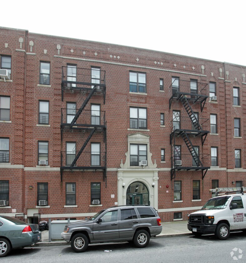
The Vitagraph
1277 E 14th St,
Brooklyn, NY 11230
$2,770 - $3,668
1-3 Beds
Experience Brooklyn living at 356 Sumpter St. Situated in the 11233 area of Brooklyn on Sumpter St., residents have easy connection to a number of highlights and attractions. Come for a visit to see the available floorplan options. The leasing staff is ready to help you find your perfect apartment. You're sure to live the good life at 356 Sumpter St. Stop by the leasing office to talk about leasing your next apartment.
356 Sumpter St is an apartment community located in Kings County and the 11233 ZIP Code. This area is served by the New York City Geographic District #23 attendance zone.
Ocean Hill, a bustling urban neighborhood in the heart of Brooklyn, boasts longstanding buildings and a wonderful variety of rentals. This neighborhood is filled with perks for families, including community parks like Marion Hopkinson Playground and good schools such as Brooklyn Landmark Elementary. Commuting options in Ocean Hill is similar to that in Brooklyn – abundant!
Enjoy the convenient of public bus stops and subway stations on every street in this thriving neighborhood. Grocers, fast food restaurants, and local businesses are all walkable in Ocean Hill, but for more entertainment options, residents travel into Brooklyn and nearby neighborhoods. You’ll love the proximity to Prospect Park, the Zoo, and the Brooklyn Botanic Gardens.
Learn more about living in Ocean HillCompare neighborhood and city base rent averages by bedroom.
| Ocean Hill | Brooklyn, NY | |
|---|---|---|
| Studio | $677 | $2,674 |
| 1 Bedroom | $1,278 | $2,996 |
| 2 Bedrooms | $1,740 | $3,925 |
| 3 Bedrooms | $2,589 | $4,864 |
| Colleges & Universities | Distance | ||
|---|---|---|---|
| Colleges & Universities | Distance | ||
| Drive: | 10 min | 3.3 mi | |
| Drive: | 11 min | 3.5 mi | |
| Drive: | 10 min | 3.6 mi | |
| Drive: | 12 min | 4.2 mi |


Transportation options available in Brooklyn include Chauncey Street, located 0.2 mile from 356 Sumpter St. 356 Sumpter St is near LaGuardia, located 8.4 miles or 19 minutes away, and John F Kennedy International, located 9.1 miles or 17 minutes away.
| Transit / Subway | Distance | ||
|---|---|---|---|
| Transit / Subway | Distance | ||
|
|
Walk: | 4 min | 0.2 mi |
|
|
Walk: | 6 min | 0.3 mi |
|
|
Walk: | 7 min | 0.4 mi |
| Walk: | 8 min | 0.4 mi | |
|
|
Walk: | 9 min | 0.5 mi |
| Commuter Rail | Distance | ||
|---|---|---|---|
| Commuter Rail | Distance | ||
|
|
Walk: | 12 min | 0.7 mi |
|
|
Drive: | 8 min | 2.5 mi |
|
|
Drive: | 11 min | 3.9 mi |
|
|
Drive: | 12 min | 5.0 mi |
|
|
Drive: | 14 min | 5.8 mi |
| Airports | Distance | ||
|---|---|---|---|
| Airports | Distance | ||
|
LaGuardia
|
Drive: | 19 min | 8.4 mi |
|
John F Kennedy International
|
Drive: | 17 min | 9.1 mi |
Scores provided by
Traffic
-Airport
-Businesses
-Scores provided by
HowLoud What is a Sound Score Rating? A Sound Score Rating aggregates noise caused by vehicle traffic, airplane traffic and local sources. How It WorksTime and distance from 356 Sumpter St.
| Shopping Centers | Distance | ||
|---|---|---|---|
| Shopping Centers | Distance | ||
| Drive: | 5 min | 2.0 mi | |
| Drive: | 7 min | 2.2 mi |
| Parks and Recreation | Distance | ||
|---|---|---|---|
| Parks and Recreation | Distance | ||
|
Highland Park Childrens Garden
|
Drive: | 3 min | 1.5 mi |
|
Betsy Head Memorial Playground
|
Drive: | 5 min | 1.5 mi |
|
Highland Park and Ridgewood Reservoir
|
Drive: | 4 min | 1.6 mi |
|
St. John's Park
|
Drive: | 6 min | 1.7 mi |
|
Maria Hernandez Park
|
Drive: | 7 min | 2.4 mi |
| Hospitals | Distance | ||
|---|---|---|---|
| Hospitals | Distance | ||
| Drive: | 6 min | 1.7 mi | |
| Drive: | 6 min | 2.3 mi | |
| Drive: | 6 min | 2.4 mi |
| Military Bases | Distance | ||
|---|---|---|---|
| Military Bases | Distance | ||
| Drive: | 23 min | 8.5 mi | |
| Drive: | 26 min | 9.9 mi |
What Are Walk Score®, Transit Score®, and Bike Score® Ratings?
Walk Score® measures the walkability of any address. Transit Score® measures access to public transit. Bike Score® measures the bikeability of any address.
What is a Sound Score Rating?
A Sound Score Rating aggregates noise caused by vehicle traffic, airplane traffic and local sources.

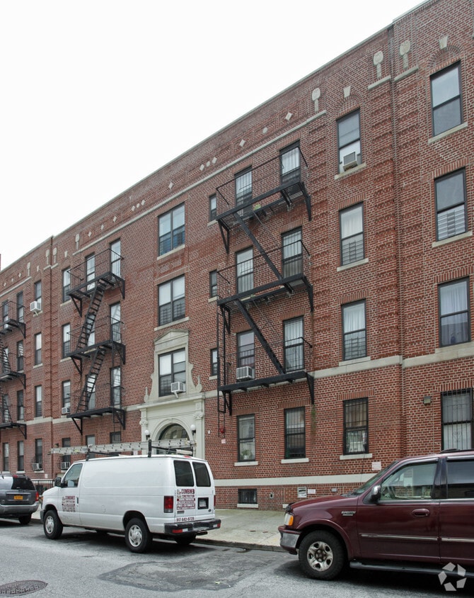
356 Sumpter St
Brooklyn, NY 11233


