

$1,450
/ Month
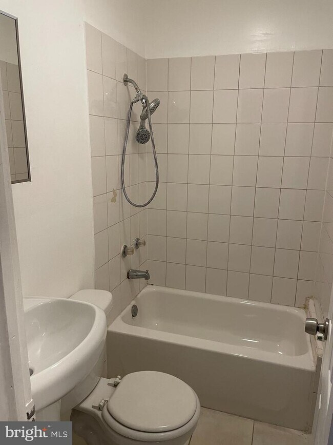
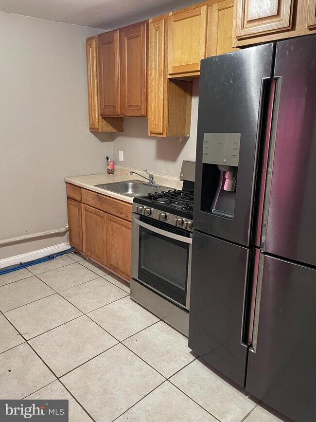
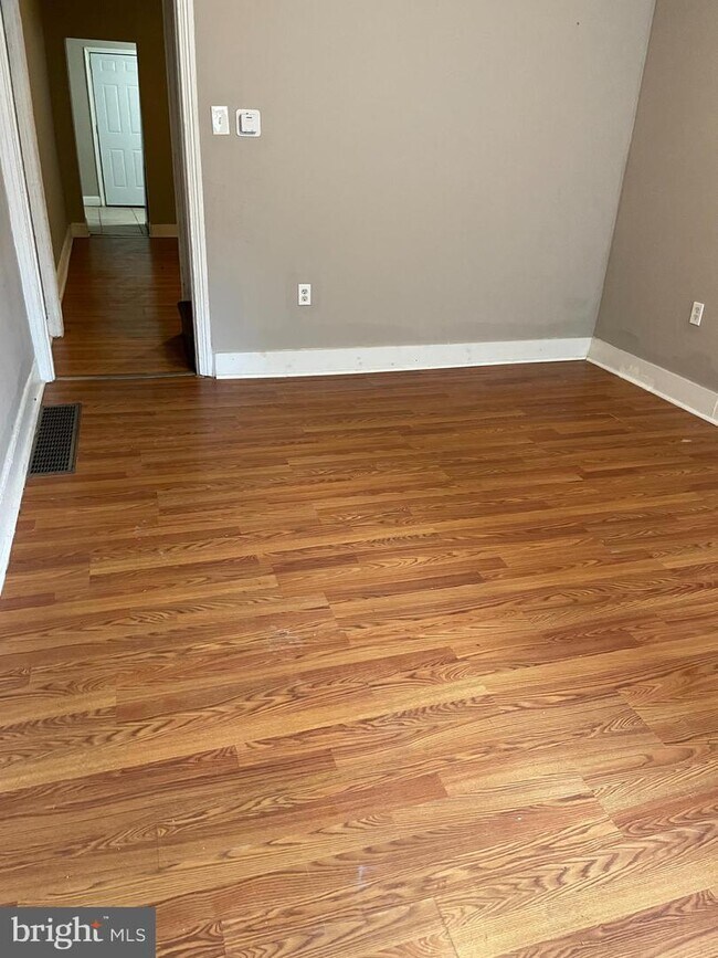
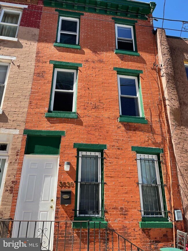
3538 N Carlisle St
Philadelphia, PA 19140
2 Weeks Ago
Favorites
3538 N Carlisle St

Favorites
Check Back Soon for Upcoming Availability
| Beds | Baths | Average SF |
|---|---|---|
| 4 Bedrooms 4 Bedrooms 4 Br | 2 Baths 2 Baths 2 Ba | — |
About This Property
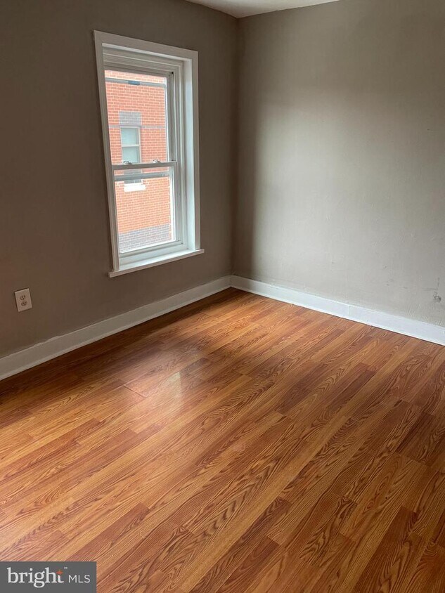
Just behind Temple Medical School Building, safe and bright. Perfect for nurses, students, residents, fellows, or anyone! Rents fast, don't wait available NOW. Application Link: https://affinitypropertiesnj.managebuilding.com/Resident/apps/rentalapp
3538 N Carlisle St is a townhome located in Philadelphia County and the 19140 ZIP Code. This area is served by the The School District of Philadelphia attendance zone.
Townhome Features
- Basement
Location
Get Directions
Living in Tioga-Nicetown provides an urban living experience near Downtown Philadelphia, which is only eight miles away. There are a variety of rental options for every budget, but the neighborhood is more affordable than other Philadelphia neighborhoods and the cost of living is relatively low. A number of styles are available including charming rowhouses and luxury apartments. Since Tioga-Nicetown is near several schools including Drexel University, Temple University, and Thomas Jefferson University, it’s a popular choice among students, faculty, and staff. The neighborhood is also home to the Lewis Katz School of Medicine at Temple University and Temple University School of Pharmacy. Residents go to locally owned restaurants and shops while community events such as festivals and health fairs heighten neighborhood pride. Along with neighborhood parks, locals enjoy getting fresh air at Fairmount Park, just three miles away.
Learn more about living in Tioga-NicetownBelow are rent ranges for similar nearby apartments
Amenities
- Basement
Education
| Colleges & Universities | Distance | ||
|---|---|---|---|
| Colleges & Universities | Distance | ||
| Walk: | 4 min | 0.3 mi | |
| Drive: | 6 min | 2.2 mi | |
| Drive: | 7 min | 2.3 mi | |
| Drive: | 7 min | 2.6 mi |
3538 N Carlisle St is within 4 minutes or 0.3 mile from Temple Univ., Health Center. It is also near Temple University, Main Campus and Drexel Univ., Queen Lane.
Schools


Public Elementary & Middle School
Grades PK-8
478 Students
Nearby
Public Elementary & Middle School
Grades K-8
342 Students
Attendance Zone
Charter High School
Grades 9-12
250 Students
Nearby
Private Elementary School
Grades PK-6
Nearby
Private Elementary, Middle & High School
Grades 1-12
133 Students
Nearby
Private High School
Grades 9-12
Nearby
School data provided by
 The GreatSchools Rating helps parents compare schools within a state based on a variety of school quality indicators and provides a helpful picture of how effectively each school serves all of its students. Ratings are on a scale of 1 (below average) to 10 (above average) and can include test scores, college readiness, academic progress, advanced courses, equity, discipline and attendance data. We also advise parents to visit schools, consider other information on school performance and programs, and consider family needs as part of the school selection process.
View GreatSchools Rating Methodology
Data provided by GreatSchools.org © 2025. All rights reserved.
View GreatSchools Rating Methodology
Data provided by GreatSchools.org © 2025. All rights reserved.
Transportation options available in Philadelphia include Erie, located 0.2 mile from 3538 N Carlisle St. 3538 N Carlisle St is near Philadelphia International, located 16.5 miles or 31 minutes away, and Trenton Mercer, located 31.7 miles or 49 minutes away.
| Transit / Subway | Distance | ||
|---|---|---|---|
| Transit / Subway | Distance | ||
|
|
Walk: | 3 min | 0.2 mi |
|
|
Walk: | 8 min | 0.4 mi |
|
|
Walk: | 15 min | 0.8 mi |
|
|
Drive: | 5 min | 1.6 mi |
|
|
Drive: | 5 min | 1.6 mi |
| Commuter Rail | Distance | ||
|---|---|---|---|
| Commuter Rail | Distance | ||
|
|
Walk: | 14 min | 0.8 mi |
|
|
Walk: | 16 min | 0.9 mi |
|
|
Drive: | 3 min | 1.1 mi |
|
|
Drive: | 3 min | 1.3 mi |
|
|
Drive: | 4 min | 1.3 mi |
| Airports | Distance | ||
|---|---|---|---|
| Airports | Distance | ||
|
Philadelphia International
|
Drive: | 31 min | 16.5 mi |
|
Trenton Mercer
|
Drive: | 49 min | 31.7 mi |
Time and distance from 3538 N Carlisle St.
| Shopping Centers | Distance | ||
|---|---|---|---|
| Shopping Centers | Distance | ||
| Walk: | 19 min | 1.0 mi | |
| Drive: | 5 min | 1.5 mi | |
| Drive: | 5 min | 1.6 mi |
3538 N Carlisle St has 3 shopping centers within 1.6 miles, which is about a 5-minute walk. The miles and minutes will be for the farthest away property.
| Parks and Recreation | Distance | ||
|---|---|---|---|
| Parks and Recreation | Distance | ||
|
Wagner Free Institute of Science
|
Drive: | 7 min | 2.4 mi |
|
Edgar Allan Poe Nat'l Historic Site
|
Drive: | 11 min | 3.8 mi |
|
Awbury Arboretum
|
Drive: | 9 min | 3.8 mi |
|
Tacony Creek Park
|
Drive: | 9 min | 4.0 mi |
|
Philadelphia Zoo
|
Drive: | 14 min | 5.3 mi |
3538 N Carlisle St has 5 parks within 5.3 miles, including Wagner Free Institute of Science, Tacony Creek Park, and Edgar Allan Poe Nat'l Historic Site.
| Hospitals | Distance | ||
|---|---|---|---|
| Hospitals | Distance | ||
| Walk: | 2 min | 0.1 mi | |
| Walk: | 4 min | 0.2 mi | |
| Drive: | 4 min | 1.8 mi |
3538 N Carlisle St has 3 hospitals within 1.8 miles, the nearest is Shriners Hospitals for Children - Philadelphia which is 0.1 mile away and a 2 minute walk.
| Military Bases | Distance | ||
|---|---|---|---|
| Military Bases | Distance | ||
| Drive: | 22 min | 11.4 mi |
3538 N Carlisle St is 11.4 miles and a 22 minute drive from Philadelphia Naval Busi Center.
You May Also Like
Similar Rentals Nearby


What Are Walk Score®, Transit Score®, and Bike Score® Ratings?
Walk Score® measures the walkability of any address. Transit Score® measures access to public transit. Bike Score® measures the bikeability of any address.
What is a Sound Score Rating?
A Sound Score Rating aggregates noise caused by vehicle traffic, airplane traffic and local sources
3538 N Carlisle St
Philadelphia, PA 19140