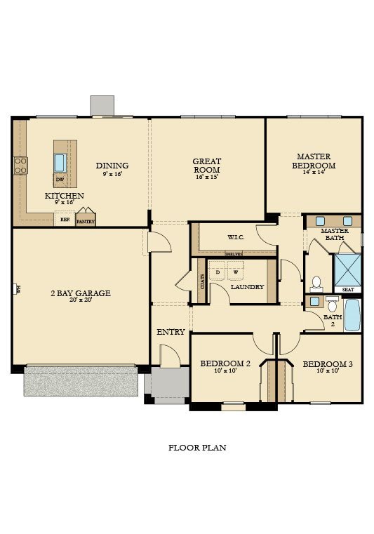


3 Beds
$3,056
4 Beds
$3,256+
Total Monthly Price
Total Monthly Price
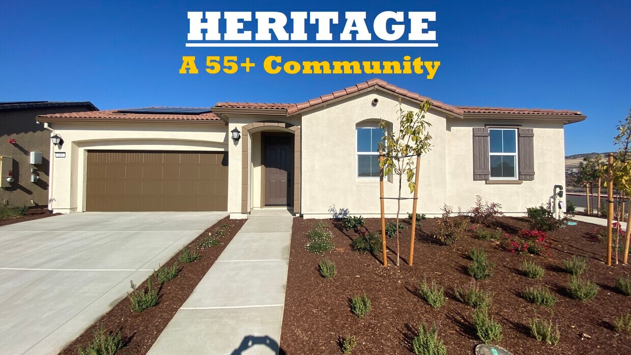
New
Prices include base rent and required monthly fees of $60. Variable costs based on usage may apply.
Base Rent:
3 Beds
$2,995
4 Beds
$3,195+
Specials
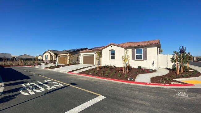
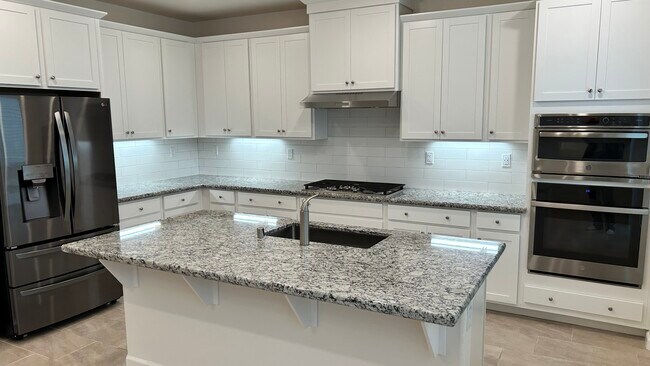
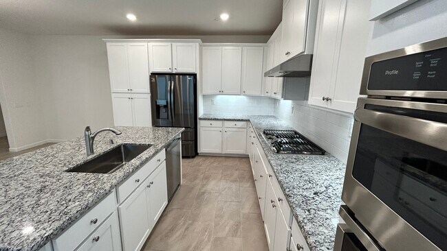
Pets Allowed Fitness Center Pool In Unit Washer & Dryer Clubhouse Stainless Steel Appliances Package Service


