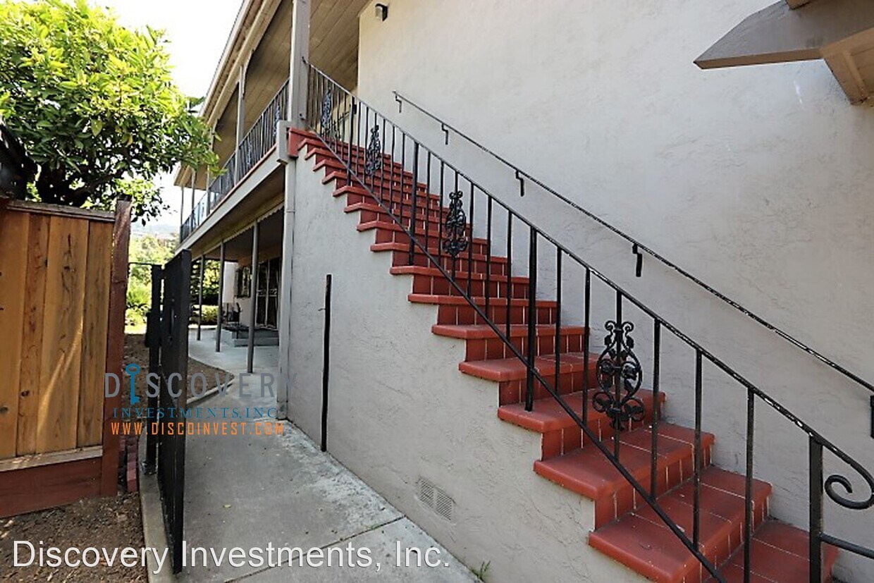
3350 Arizona St
Oakland, CA 94602

Check Back Soon for Upcoming Availability
| Beds | Baths | Average SF |
|---|---|---|
| 2 Bedrooms 2 Bedrooms 2 Br | 1 Bath 1 Bath 1 Ba | — |
Fees and Policies
The fees below are based on community-supplied data and may exclude additional fees and utilities.
- Dogs Allowed
-
Fees not specified
-
Weight limit--
-
Pet Limit--
About This Property
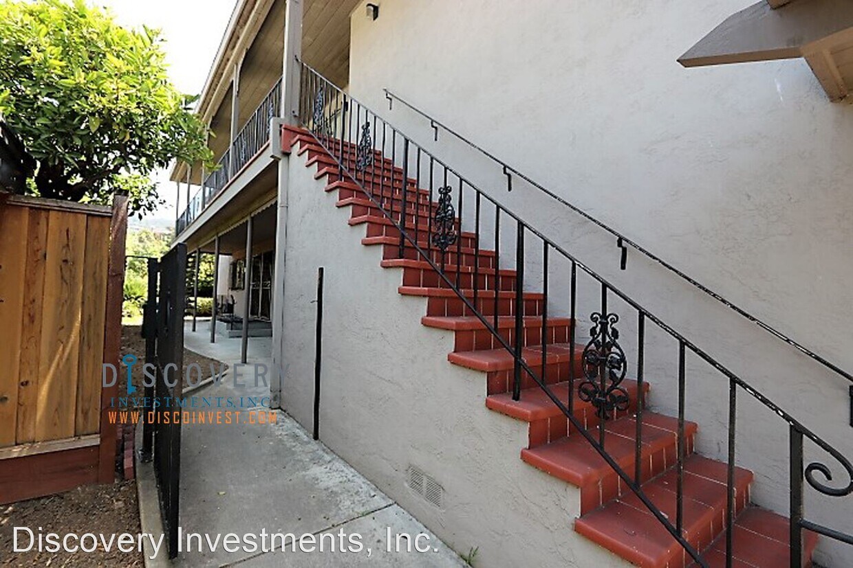
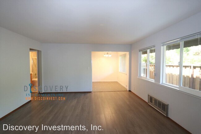
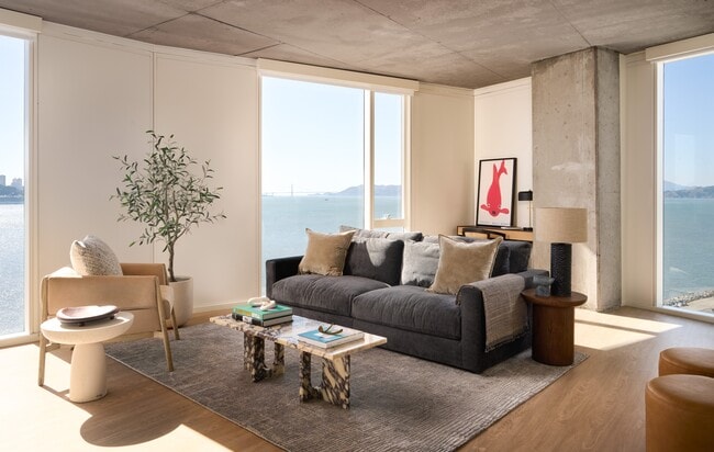
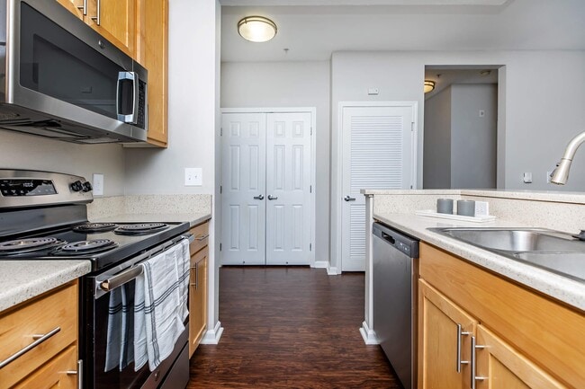
(510) 584-9078 - Upper Dimond 2 Bedroom in 4plex Available Now! - We are pleased to announce the availability of a Mid-Century Modern 2 bedroom, 1 bathroom apartment in the Upper Dimond district of Oakland, conveniently located near Laurel and Redwood Heights Districts. This street-level apartment has hardwood floors and an updated kitchen and bath. A well-defined dining area is adjacent to the kitchen and opens to the spacious living room. The carpeted bedrooms are well lit with natural light and a full bath completes this unit. Additional features include: Updated Kitchen Hardwood Floors Shared Backyard Shared Washer and Dryer On-Site Street Parking Only Easy Access to Highway 13 and 580 to greater Bay Area Laurel District’s shops, banking, Farmer Joe’s, and restaurants, including Everett and Jones, Sequoia Diner, Phnom Penh House, and many more. Close to Lincoln Square Redwood Heights Shopping Center: Safeway, Sparky’s, CVS and more https://www.yelp.com/events/oakland Welcome Home! TERMS: One year lease agreement Tenant responsible for gas & electric Renter’s insurance required CONTACT: Marty Chan DRE# 01400871 or Bonita Chinn Phone: 510-584-9078 Email: rentals@discoinvest.com Website: discoinvest.com Discovery Investments DRE# 01911108 (RLNE4306382) Pet policies: Small Dogs Allowed, Cats Allowed.
3350 Arizona St is an apartment community located in Alameda County and the 94602 ZIP Code.
The Lower Hills District of Oakland is made up of several small neighborhoods, including Piedmont, Crocker Heights, Oakmont, and Redwood Heights. Situated just seven miles to the east of Downtown Oakland on the north side of Interstate 580, the Lower Hills District maintains a small town feel despite its location among one of the Bay Area’s biggest communities. Windy, tree-lined streets house both new apartments and homes dating back to the '30s and '40s. Residents don’t have to travel far for everyday needs thanks to Oakland’s fast-growing economy. There is a plethora of shopping and dining options scattered around this sprawling community. You’ll find most of the amenities close to the MacArthur Freeway (Interstate 580) or near Park Boulevard. Access to the freeway and Bay Area Rapid Transit make getting around the rest of the Bay Area a breeze.
Learn more about living in Lower Hills DistrictBelow are rent ranges for similar nearby apartments
| Colleges & Universities | Distance | ||
|---|---|---|---|
| Colleges & Universities | Distance | ||
| Drive: | 6 min | 1.9 mi | |
| Drive: | 8 min | 4.4 mi | |
| Drive: | 9 min | 4.8 mi | |
| Drive: | 8 min | 4.9 mi |
Transportation options available in Oakland include Fruitvale Station, located 2.2 miles from 3350 Arizona St. 3350 Arizona St is near Metro Oakland International, located 8.1 miles or 14 minutes away, and San Francisco International, located 26.6 miles or 38 minutes away.
| Transit / Subway | Distance | ||
|---|---|---|---|
| Transit / Subway | Distance | ||
|
|
Drive: | 4 min | 2.2 mi |
|
|
Drive: | 8 min | 4.4 mi |
|
|
Drive: | 9 min | 4.8 mi |
|
|
Drive: | 8 min | 5.1 mi |
|
|
Drive: | 9 min | 5.4 mi |
| Commuter Rail | Distance | ||
|---|---|---|---|
| Commuter Rail | Distance | ||
|
|
Drive: | 10 min | 5.6 mi |
|
|
Drive: | 10 min | 7.6 mi |
|
|
Drive: | 13 min | 9.6 mi |
|
|
Drive: | 19 min | 13.3 mi |
| Drive: | 19 min | 13.3 mi |
| Airports | Distance | ||
|---|---|---|---|
| Airports | Distance | ||
|
Metro Oakland International
|
Drive: | 14 min | 8.1 mi |
|
San Francisco International
|
Drive: | 38 min | 26.6 mi |
Time and distance from 3350 Arizona St.
| Shopping Centers | Distance | ||
|---|---|---|---|
| Shopping Centers | Distance | ||
| Walk: | 18 min | 1.0 mi | |
| Drive: | 3 min | 1.4 mi | |
| Drive: | 4 min | 2.3 mi |
| Parks and Recreation | Distance | ||
|---|---|---|---|
| Parks and Recreation | Distance | ||
|
Roberts Regional Recreation Area
|
Drive: | 8 min | 3.5 mi |
|
Redwood Regional Park
|
Drive: | 7 min | 3.8 mi |
|
Lakeside Park
|
Drive: | 6 min | 3.9 mi |
|
Chabot Space & Science Center
|
Drive: | 10 min | 4.2 mi |
|
Joaquin Miller Park
|
Drive: | 10 min | 4.3 mi |
| Hospitals | Distance | ||
|---|---|---|---|
| Hospitals | Distance | ||
| Drive: | 4 min | 2.0 mi | |
| Drive: | 4 min | 2.3 mi | |
| Drive: | 7 min | 4.6 mi |
| Military Bases | Distance | ||
|---|---|---|---|
| Military Bases | Distance | ||
| Drive: | 17 min | 8.3 mi | |
| Drive: | 17 min | 10.0 mi |
You May Also Like
Similar Rentals Nearby
What Are Walk Score®, Transit Score®, and Bike Score® Ratings?
Walk Score® measures the walkability of any address. Transit Score® measures access to public transit. Bike Score® measures the bikeability of any address.
What is a Sound Score Rating?
A Sound Score Rating aggregates noise caused by vehicle traffic, airplane traffic and local sources
