
Living at Santa Monica
1519 6th St,
Santa Monica, CA 90401
Studio - 2 Beds $2,542 - $4,938


3321 S Canfield Ave in Los Angeles is ready for you to move in. This community can be found in Los Angeles on S. Canfield Ave. Come for a visit to view the available floorplans. Here at this community, the team of leasing professionals is ready and waiting to help you find the perfect apartment. It's time to get moving on finding your next place. Contact or stop by 3321 S Canfield Ave to schedule your tour!
3321 S Canfield Ave is an apartment community located in Los Angeles County and the 90034 ZIP Code. This area is served by the Los Angeles Unified attendance zone.
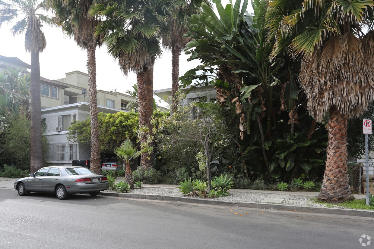
Cheviot Hills is a tranquil and upscale community on the west side of Los Angeles. With a low population density, mature trees and picturesque streets, the Cheviot Hills area ensures residents are feel somewhat secluded from the hustle and bustle of the busy city around them.
Even though it feels private and isolated, Cheviot Hills' location ensures that residents can easily access all that L.A. has to offer. The high-rise office buildings and high-end shopping of Century City sits just to the neighborhood's north, along with the Twentieth Century Fox movie studio. Beverly Hills, Culver City and West L.A. are all blocks away, and the area has convenient access to downtown L.A. and Santa Monica as well.
Learn more about living in Cheviot Hills| Colleges & Universities | Distance | ||
|---|---|---|---|
| Colleges & Universities | Distance | ||
| Drive: | 7 min | 2.5 mi | |
| Drive: | 8 min | 5.0 mi | |
| Drive: | 8 min | 5.0 mi | |
| Drive: | 8 min | 5.3 mi |


Transportation options available in Los Angeles include Culver City, located 0.5 mile from 3321 S Canfield Ave. 3321 S Canfield Ave is near Los Angeles International, located 7.8 miles or 16 minutes away, and Bob Hope, located 16.4 miles or 30 minutes away.
| Transit / Subway | Distance | ||
|---|---|---|---|
| Transit / Subway | Distance | ||
|
|
Walk: | 10 min | 0.5 mi |
|
|
Walk: | 12 min | 0.7 mi |
|
|
Drive: | 3 min | 1.5 mi |
|
|
Drive: | 5 min | 2.7 mi |
| Drive: | 6 min | 3.3 mi |
| Commuter Rail | Distance | ||
|---|---|---|---|
| Commuter Rail | Distance | ||
|
|
Drive: | 15 min | 10.6 mi |
|
|
Drive: | 17 min | 10.7 mi |
|
|
Drive: | 21 min | 14.0 mi |
|
|
Drive: | 27 min | 14.3 mi |
|
|
Drive: | 29 min | 15.2 mi |
| Airports | Distance | ||
|---|---|---|---|
| Airports | Distance | ||
|
Los Angeles International
|
Drive: | 16 min | 7.8 mi |
|
Bob Hope
|
Drive: | 30 min | 16.4 mi |
Time and distance from 3321 S Canfield Ave.
| Shopping Centers | Distance | ||
|---|---|---|---|
| Shopping Centers | Distance | ||
| Walk: | 8 min | 0.4 mi | |
| Walk: | 8 min | 0.5 mi | |
| Walk: | 9 min | 0.5 mi |
| Parks and Recreation | Distance | ||
|---|---|---|---|
| Parks and Recreation | Distance | ||
|
Kenneth Hahn State Recreation Area
|
Drive: | 10 min | 3.6 mi |
|
Ballona Creek Trail - Ballona Wetlands Ecological Reserve Access
|
Drive: | 8 min | 3.7 mi |
|
La Brea Tar Pits
|
Drive: | 8 min | 4.2 mi |
|
Zimmer Children's Museum
|
Drive: | 8 min | 4.3 mi |
|
Mathias Botanical Garden
|
Drive: | 9 min | 5.7 mi |
| Hospitals | Distance | ||
|---|---|---|---|
| Hospitals | Distance | ||
| Drive: | 3 min | 1.6 mi | |
| Drive: | 6 min | 3.6 mi | |
| Drive: | 7 min | 3.7 mi |
| Military Bases | Distance | ||
|---|---|---|---|
| Military Bases | Distance | ||
| Drive: | 16 min | 10.4 mi |
What Are Walk Score®, Transit Score®, and Bike Score® Ratings?
Walk Score® measures the walkability of any address. Transit Score® measures access to public transit. Bike Score® measures the bikeability of any address.
What is a Sound Score Rating?
A Sound Score Rating aggregates noise caused by vehicle traffic, airplane traffic and local sources
3321 S Canfield Ave
Los Angeles, CA 90034


 - Violet on Virgil")