
Vanguard
1001 Marshall Ave,
Cincinnati, OH 45219
Studio - 5 Beds $749 - $1,479
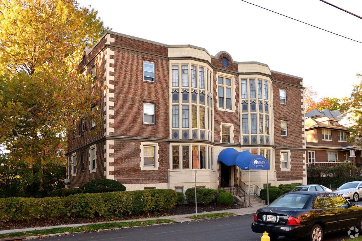
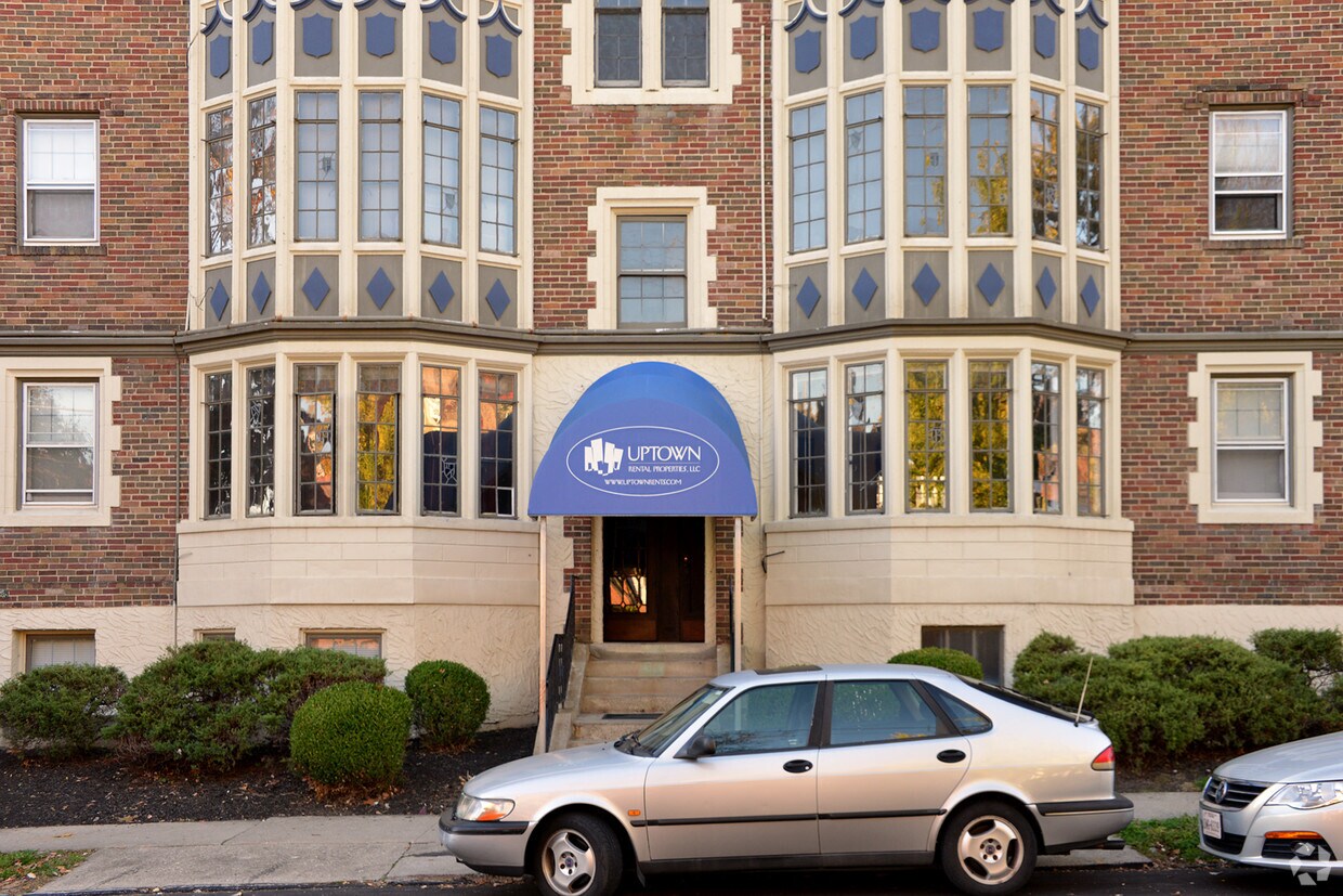
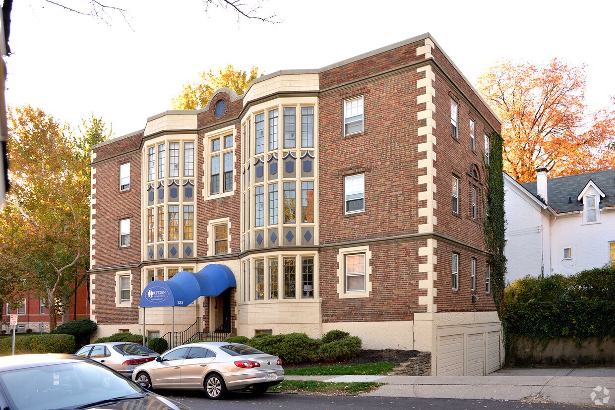
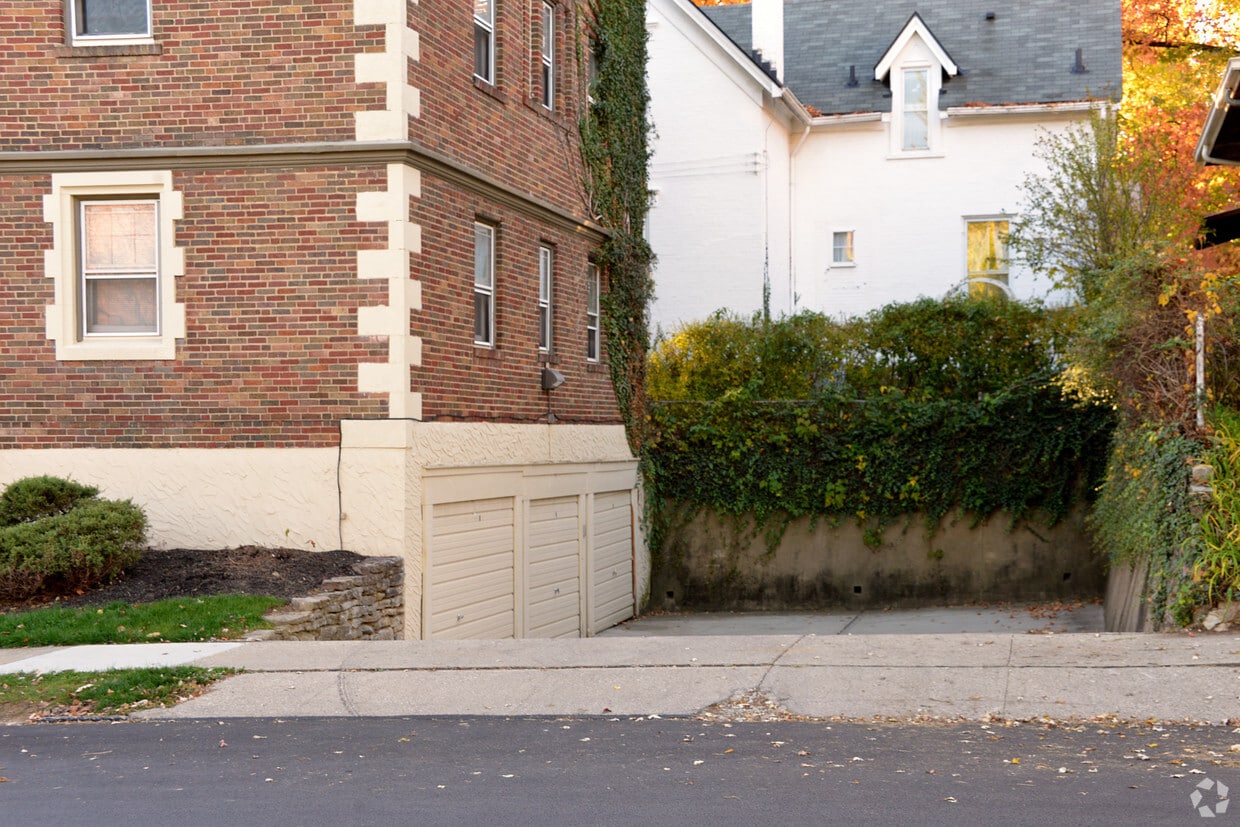
Find a new home at 331 Bryant Ave in Cincinnati. The Bryant Ave setting in the 45220 Zip code of Cincinnati is a great place to move to. Come for a visit to view the available floorplans. This community has a variety of available amenities and features. These include: convenient on-site parking options, stainless steel appliances, and hardwood floors. Visit 331 Bryant Ave today.
331 Bryant Ave is an apartment community located in Hamilton County and the 45220 ZIP Code. This area is served by the Cincinnati Public Schools attendance zone.
Dishwasher
High Speed Internet Access
Hardwood Floors
Microwave
In Clifton there’s plenty to do and see. The rolling hills, lush parks and green spaces, hip shopping, and affordable apartments create a vibrancy in Clifton that can’t be ignored.
In addition to its active art scene, the neighborhood is encompassing of Mount Storm Park, Edgewood Grove Park, and the Cincinnati State Technical and Community College. Locals enjoy the direct access to Interstate 75, making commutes in and around the city a breeze.
Clifton is just north of the 90-acre Burnet Woods Park and the University of Cincinnati campus. When you have a craving for something sweet or savory, head on over to the Clifton Gaslight District for every kind of cuisine imaginable. Clifton sits atop a hill overlooking the Northside, and Ludlow Avenue has been dubbed Cincinnati’s first “Main Street.
Learn more about living in Clifton| Colleges & Universities | Distance | ||
|---|---|---|---|
| Colleges & Universities | Distance | ||
| Drive: | 3 min | 1.4 mi | |
| Drive: | 4 min | 1.4 mi | |
| Drive: | 6 min | 1.7 mi | |
| Drive: | 9 min | 3.2 mi |


Transportation options available in Cincinnati include Findlay Market-Race Station, Race & Elder, located 2.4 miles from 331 Bryant Ave. 331 Bryant Ave is near Cincinnati/Northern Kentucky International, located 17.9 miles or 32 minutes away.
| Transit / Subway | Distance | ||
|---|---|---|---|
| Transit / Subway | Distance | ||
| Drive: | 6 min | 2.4 mi | |
| Drive: | 6 min | 2.5 mi | |
| Drive: | 7 min | 2.5 mi | |
| Drive: | 7 min | 2.6 mi | |
| Drive: | 8 min | 2.9 mi |
| Commuter Rail | Distance | ||
|---|---|---|---|
| Commuter Rail | Distance | ||
|
|
Drive: | 8 min | 3.9 mi |
| Airports | Distance | ||
|---|---|---|---|
| Airports | Distance | ||
|
Cincinnati/Northern Kentucky International
|
Drive: | 32 min | 17.9 mi |
Time and distance from 331 Bryant Ave.
| Shopping Centers | Distance | ||
|---|---|---|---|
| Shopping Centers | Distance | ||
| Drive: | 3 min | 1.2 mi | |
| Drive: | 4 min | 1.5 mi | |
| Drive: | 6 min | 2.5 mi |
| Parks and Recreation | Distance | ||
|---|---|---|---|
| Parks and Recreation | Distance | ||
|
Burnet Woods
|
Walk: | 9 min | 0.5 mi |
|
Cincinnati Zoo and Botanical Garden
|
Walk: | 14 min | 0.8 mi |
|
Trailside Nature Center
|
Drive: | 3 min | 1.3 mi |
|
William H. Taft National Historic Site
|
Drive: | 7 min | 2.5 mi |
|
Buttercup Valley
|
Drive: | 8 min | 2.9 mi |
| Hospitals | Distance | ||
|---|---|---|---|
| Hospitals | Distance | ||
| Walk: | 10 min | 0.5 mi | |
| Drive: | 5 min | 1.4 mi | |
| Drive: | 5 min | 1.9 mi |
| Military Bases | Distance | ||
|---|---|---|---|
| Military Bases | Distance | ||
| Drive: | 67 min | 51.0 mi | |
| Drive: | 73 min | 56.0 mi | |
| Drive: | 76 min | 59.3 mi |
What Are Walk Score®, Transit Score®, and Bike Score® Ratings?
Walk Score® measures the walkability of any address. Transit Score® measures access to public transit. Bike Score® measures the bikeability of any address.
What is a Sound Score Rating?
A Sound Score Rating aggregates noise caused by vehicle traffic, airplane traffic and local sources

331 Bryant Ave
Cincinnati, OH 45220


