

$1,650 / Month

3308 Sweet Pine Way

,

Knoxville, TN 37921

Share Listing
Favorites
3308 Sweet Pine Way
Share Listing
Favorites

Check Back Soon for Upcoming Availability

Beds Baths Average SF
2 Bedrooms 2 Bedrooms 2 Br 2 Baths 2 Baths 2 Ba 1,048 SF

Fees and Policies

The fees listed below are community-provided and may exclude utilities or add-ons. All payments are made directly to the property and are non-refundable unless otherwise specified.

About This Property

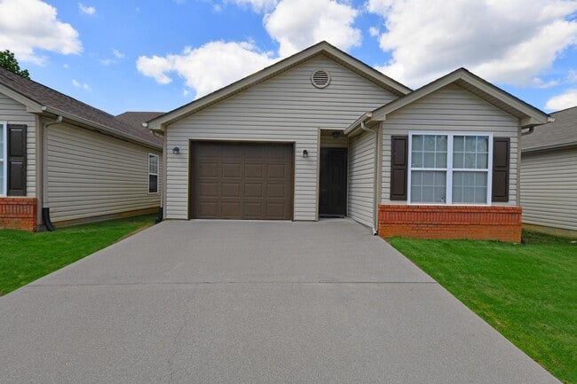
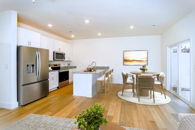
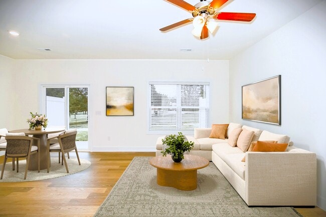
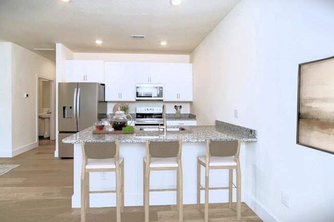
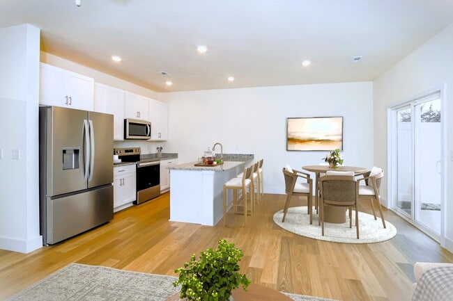
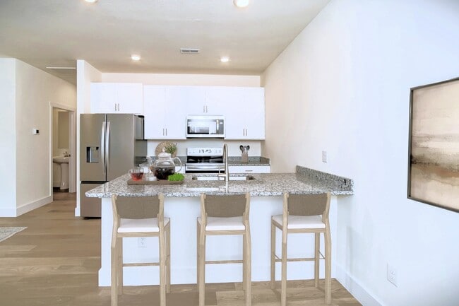
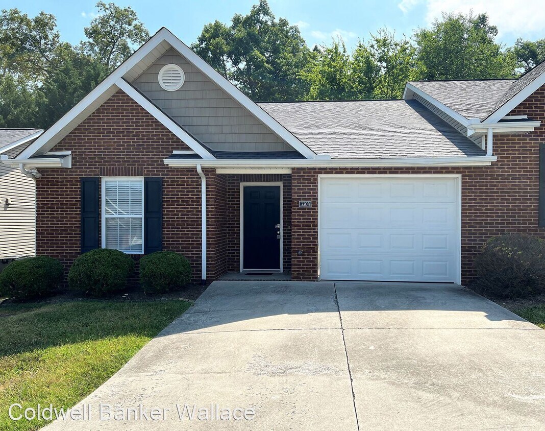
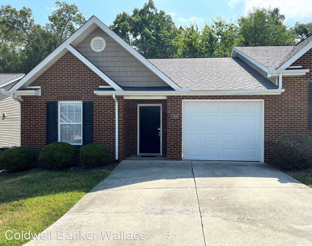
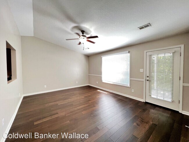
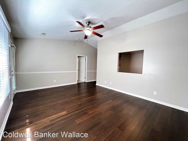
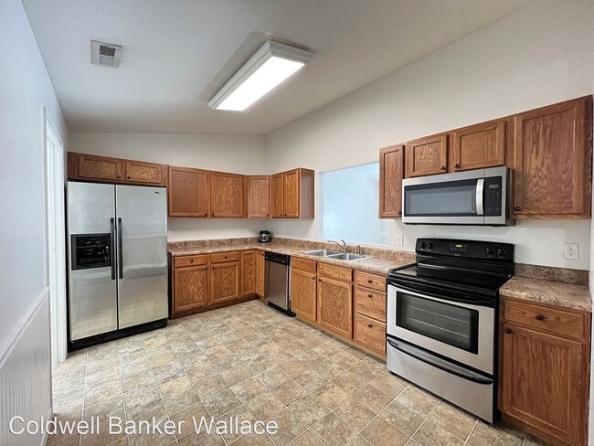
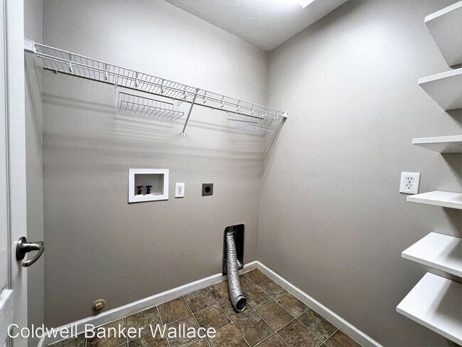
- ONE LEVEL LIVING AT ITS BEST IN NORTHWEST KNOX AREA IN HARRISON FOREST!! - PROFESSIONALLY MANAGED BY COLDWELL BANKER WALLACE...2 BR/2 BA end unit condo features hardwoods, carpet, stainless appliances. Other features include one level living, one-car garage, attic storage (pull-down), and a private covered patio out back so you can relax and enjoy your morning coffee! Convenient location. NO SMOKING OR VAPING. NO PETS. Directions: I-640 to exit 1 Western Avenue. Merge onto TN-62 W/Western Ave. Left on Matlock Drive. Left on Ball Camp Pike. Left onto Harrison Forest Way. Left onto Sweet Pine Way. Schedule your showing today by calling ! For more information, call Coldwell Banker Wallace at . No Pets Allowed (RLNE7560506) Pet policies: No Dogs Allowed, No Cats Allowed.

3308 Sweet Pine Way is a house located in Knox County and the 37921 ZIP Code. This area is served by the Knox County School District attendance zone.

Unique Features

  • No Dogs Allowed, No Cats Allowed
Location
3308 Sweet Pine Way, Knoxville,
TN 37921
Get Directions
| Edit

Under 30 minutes

Commute Time is calculated at rush hour.
Neighborhood

Westside Knoxville, Tennessee provides amazing southern hospitality and an exciting downtown area with the most amenities in the Knoxville area. Rent an apartment in a city on the rise with appealing attractions, a large shopping district, and museums and galleries, as well as breathtaking mountain views. Interstate 40 runs through Westside Knoxville, providing locals with a fast route to downtown.

Live along Sutherland Avenue and you'll only need to travel down the road to grab some traditional southern barbeque from Dead End BBQ. This restaurant also offers cooking classes so you can grab all your necessities from the Fresh Market and whip up your favorite dishes at home.

If shopping appeals to you more, then choose a place near Interstate 40 and live minutes away from the Turkey Creek shopping district. This district houses many amenities and well-known retail stores including Marshalls, Christopher & Banks, and Dressbarn so you can shop 'til you drop.

Learn more about living in West Knoxville 
Amenities
  • No Dogs Allowed, No Cats Allowed
Education
Colleges & Universities Distance
Drive: 8 min 3.2 mi
Drive: 9 min 3.9 mi
Drive: 10 min 5.5 mi
Drive: 12 min 6.3 mi
3308 Sweet Pine Way is within 8 minutes or 3.2 miles from South College. It is also near Pellissippi State, Division St and Lincoln Memorial University.
Schools
Public Elementary School
Grades PK-5
301 Students
Attendance Zone
Public Elementary School
Grades PK-5
494 Students
Nearby
Public Middle School
Grades 6-8
761 Students
Attendance Zone
Public High School
Grades 9-12
1,478 Students
Attendance Zone
Private Elementary, Middle & High School
Grades PK-12
240 Students
Nearby
Transportation

3308 Sweet Pine Way is near McGhee Tyson, located 20.7 miles or 36 minutes away.

Airports Distance
Airports Distance
McGhee Tyson
Drive: 36 min 20.7 mi

Walkability Near 3308 Sweet Pine Way Knoxville, TN 37921

Getting Around
Fairly Walkable
Walkability
40 / 100
Minimal Public Transit
Transit
0 / 100
Exceptionally Drivable
Drivability
100 / 100
Somewhat Bikeable
Bikeability
30 / 100

Scores provided by

What do Walkability, Transit, Drivability, and Bikeability mean? Walkability measures the walking distance to day-to-day needs. Transit measures access to public transportation. Drivability measures congestion, parking availability, and access to major roads. Bikeability measures the suitability for cycling. How It Works
-
Soundscore
- / 100

Traffic

-

Airport

-

Businesses

-

Scores provided by

HowLoud What is a Sound Score Rating? A Sound Score Rating aggregates noise caused by vehicle traffic, airplane traffic and local sources. How It Works
Points of Interest

Time and distance from 3308 Sweet Pine Way.

Shopping Centers Distance
Walk: 15 min 0.8 mi
Walk: 18 min 1.0 mi
Drive: 3 min 1.3 mi
3308 Sweet Pine Way has 3 shopping centers within 1.3 miles, which is about a 3-minute drive. The miles and minutes will be for the farthest away property.
Parks and Recreation Distance
John Tarleton Park
Drive: 10 min 4.3 mi
Frank H. McClung Museum
Drive: 12 min 6.5 mi
Lakeshore Park
Drive: 12 min 6.9 mi
Three Rivers Rambler
Drive: 12 min 7.0 mi
Marine Park (Tennessee River)
Drive: 11 min 7.3 mi
3308 Sweet Pine Way has 5 parks within 7.3 miles, including John Tarleton Park, Lakeshore Park, and Frank H. McClung Museum.
Hospitals Distance
Hospitals Distance
Drive: 11 min 6.0 mi
Drive: 11 min 7.0 mi
3308 Sweet Pine Way has 3 hospitals within 7.0 miles, the nearest is Fort Sanders Regional Medical Center which is 6.0 miles away and a 11 minute drive.

You May Also Like

Similar Rentals Nearby