

$1,950 / Month

330 Chestnut St

,

Lebanon, PA 17042

Share Listing
Favorites
484-665-8976
  • Bedrooms

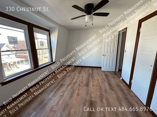
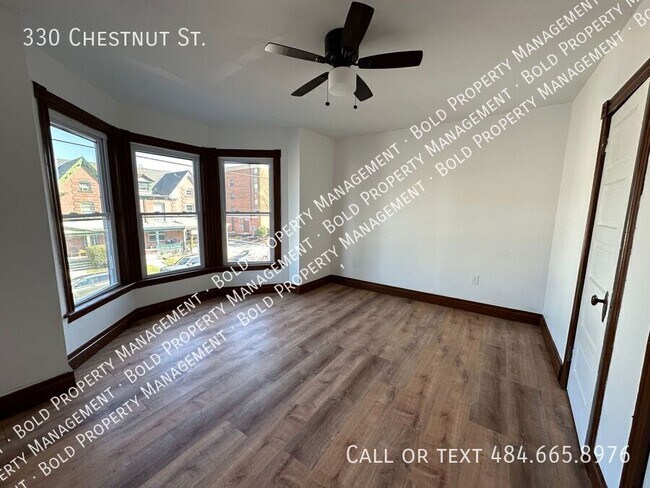
    5

  • Bathrooms

    2.5

  • Square Feet

    2,044 sq ft

  • Available

    Available Now

330 Chestnut St
Share Listing
Favorites

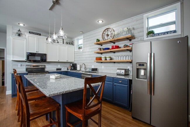
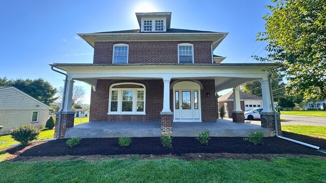
About This Home

Available Now

RESPONSIBILITIES: Tenant is responsible for all utilities including electric. Tenant liability insurance and administration fees $23.50 per month PETS: Small pets allowed with additional $500 deposit and $50 monthly fee per pet. (2 max) Breed restrictions apply. REQUIREMENTS: Applicants must have verifiable income of at least 3 times the rent amount. Our tenant screening process includes credit score, eviction history, criminal background. Those with credit scores under 650 will require a second deposit held for one year. SHOWING: To schedule a viewing or to apply go to bold- Beware of Facebook scammers! None

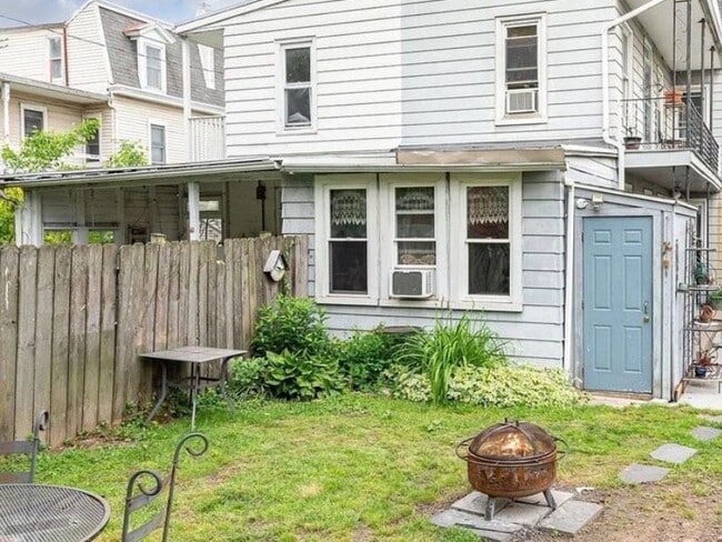
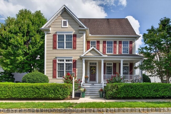
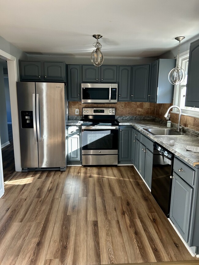
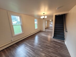
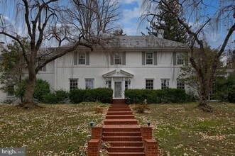
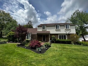
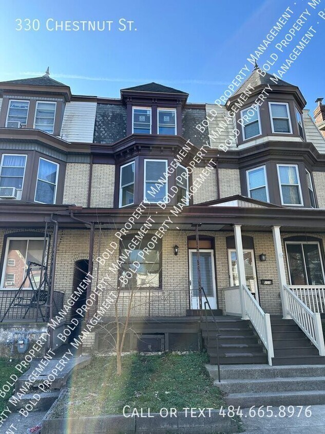
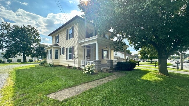
330 Chestnut St is a house located in Lebanon County and the 17042 ZIP Code.

* Price shown is base rent. Excludes user-selected optional fees and variable or usage-based fees and required charges due at or prior to move-in or at move-out. Price, availability, fees, and any applicable rent special are subject to change without notice.
* Square footage definitions vary. Displayed square footage is approximate.

Fees and Policies

The fees listed below are community-provided and may exclude utilities or add-ons. All payments are made directly to the property and are non-refundable unless otherwise specified.

  • Dogs Allowed
  • Fees not specified
  • Cats Allowed
  • Fees not specified

Contact

  • Listed by Bold Customer Service | Bold Property Management
  • Phone Number
  • Contact
| Edit

Under 30 minutes

Commute Time is calculated at rush hour.
City - Lebanon

Lebanon sits at the heart of Lebanon County as the county seat, positioned between Harrisburg to the west and Allentown to the east in south-central Pennsylvania. Founded in the 1700s by German Palatine settlers, the city carries that heritage visibly, from Pennsylvania Dutch hex signs painted on old barns to the local tradition of Lebanon bologna, a sweet-smoked meat made here since the 1880s. With a population just under 27,000 spread across roughly five square miles, Lebanon feels genuinely close-knit, grounded in small-business culture and shaped by nearby Amish and Mennonite communities that remain active in the local economy.

Life here moves at a measured pace. Cumberland Street serves as the city's main corridor, lined with shops, bars, and longtime local businesses that give the downtown real character. Housing options span renovated row homes and older brick rental properties to apartment communities spread across surrounding neighborhoods.

Learn more about living in Lebanon 
Education
Colleges & Universities Distance
Drive: 10 min 5.7 mi
Drive: 41 min 20.9 mi
Drive: 43 min 23.5 mi
Drive: 38 min 25.9 mi
330 Chestnut St is within 10 minutes or 5.7 miles from Lebanon Valley College. It is also near Elizabethtown College and Penn State Harrisburg.
Transportation

330 Chestnut St is near Harrisburg International, located 31.7 miles or 45 minutes away.

Commuter Rail Distance
Drive: 38 min 20.2 mi
Drive: 37 min 21.5 mi
Drive: 43 min 23.4 mi
Drive: 36 min 25.1 mi
Drive: 45 min 27.4 mi
Airports Distance
Airports Distance
Harrisburg International
Drive: 45 min 31.7 mi
Getting Around
Moderately Walkable
Walkability
70 / 100
Fairly Drivable
Drivability
40 / 100
Fairly Bikeable
Bikeability
40 / 100

Scores provided by

What do Walkability, Transit, Drivability, and Bikeability mean? Walkability measures the walking distance to day-to-day needs. Transit measures access to public transportation. Drivability measures congestion, parking availability, and access to major roads. Bikeability measures the suitability for cycling. How It Works
-
Soundscore
- / 100

Traffic

-

Airport

-

Businesses

-

Scores provided by

HowLoud What is a Sound Score Rating? A Sound Score Rating aggregates noise caused by vehicle traffic, airplane traffic and local sources. How It Works
Points of Interest

Time and distance from 330 Chestnut St.

Shopping Centers Distance
Drive: 4 min 1.3 mi
Drive: 5 min 1.6 mi
Drive: 5 min 1.8 mi
330 Chestnut St has 3 shopping centers within 1.8 miles, which is about a 5-minute drive. The miles and minutes will be for the farthest away property.
Parks and Recreation Distance
Speedwell Forge Park
Drive: 25 min 13.9 mi
330 Chestnut St has a nearby park, Speedwell Forge Park , located 13.9 miles or 25 minutes away.
Hospitals Distance
Hospitals Distance
Walk: 4 min 0.2 mi
Drive: 14 min 6.6 mi
330 Chestnut St is 0.2 mile from WellSpan Good Samaritan Hospital, and is convenient to other hospitals, including Philhaven Hospital.
Military Bases Distance
Drive: 28 min 15.6 mi
Drive: 45 min 24.4 mi
Drive: 55 min 34.2 mi
330 Chestnut St has 3 military bases within 34.2 miles, the nearest is Fort Indiantown Gap Union which is 15.6 miles away and a 28 minute drive.

You May Also Like

Similar Rentals Nearby