

$600
/ Month
3200 Floridale Ln
Cincinnati, OH 45239
Today
|
Edit
Favorites
570-706-1050
-
Bedrooms
2
-
Bathrooms
1
-
Square Feet
144 sq ft
-
Available
Available Now
3200 Floridale Ln

Favorites
About This Home
$300 deposit,
Available Now
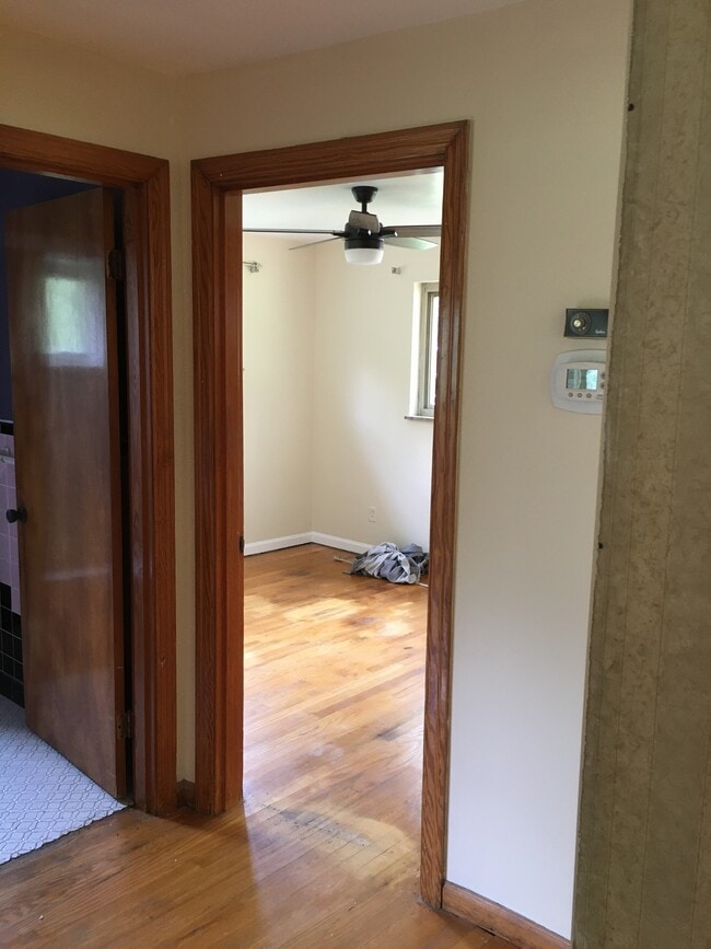
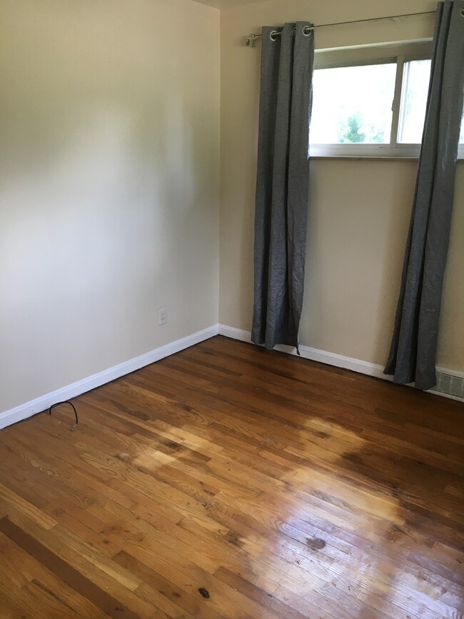
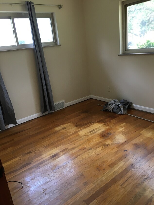
1 bedroom in a shared house. There’s 1 shared bathroom. Private parking in a smoke free drug free and alcohol free house. Large yard with a fire pit. Utilities and parking are included. The area is really nice and quiet
3200 Floridale Ln is a house located in Hamilton County and the 45239 ZIP Code. This area is served by the Northwest Local attendance zone.
* Price shown is base rent. Excludes user-selected optional fees and variable or usage-based fees and required charges due at or prior to move-in or at move-out. Price, availability, fees, and any applicable rent special are subject to change without notice.
* Square footage definitions vary. Displayed square footage is approximate.
Fees and Policies
The fees below are based on community-supplied data and may exclude additional fees and utilities.
-
One-Time Basics
-
Due at Move-In
-
Security Deposit - RefundableCharged per unit.$300
-
-
Due at Move-In
Property Fee Disclaimer: Based on community-supplied data and independent market research. Subject to change without notice. May exclude fees for mandatory or optional services and usage-based utilities.
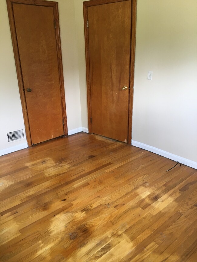
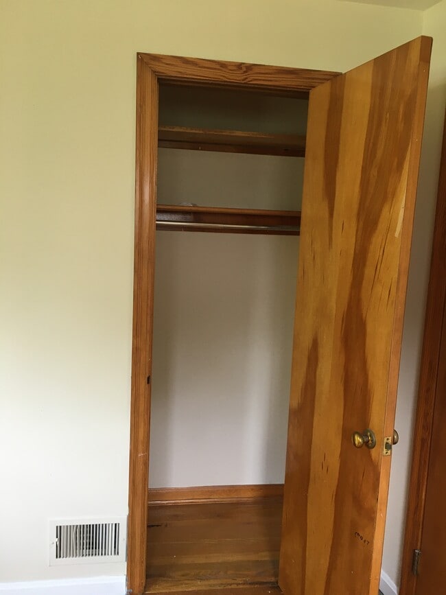
House Features
- Washer/Dryer
- Washer/Dryer Hookup
- Dishwasher
Contact
- Listed by Yousif Almomen
- Phone Number
- Contact
Location
Get Directions
Amenities
- Washer/Dryer
- Washer/Dryer Hookup
- Dishwasher
Situated about nine miles northwest of Downtown Cincinnati, White Oak East provides residents with a quiet enclave on the cusp of city life. White Oak East is teeming with red brick houses and buildings along tree-lined streets, exuding historic charm in a suburban environment.
Outdoor recreation abounds near White Oak East, with popular recreational destinations like Blue Rock Park, Mount Airy Forest, and Mount Storm Park all located within close proximity. White Oak East is also just a short drive away from the many shopping opportunities Northgate Mall as well as the numerous natural wonders at the Cincinnati Zoo and Botanical Garden. Convenience to U.S. 27 and I-74 makes getting around from White Oak East simple.
Learn more about living in White Oak East
Education
| Colleges & Universities | Distance | ||
|---|---|---|---|
| Colleges & Universities | Distance | ||
| Drive: | 16 min | 6.0 mi | |
| Drive: | 16 min | 9.3 mi | |
| Drive: | 18 min | 9.8 mi | |
| Drive: | 22 min | 11.3 mi |
3200 Floridale Ln is within 16 minutes or 6.0 miles from Cincinnati State. It is also near University of Cincinnati and Univ. of Cincinnati, Medical.
Schools


Public Elementary & Middle School
Grades PK-7
569 Students
Nearby
Public Middle School
Grades 6-8
729 Students
Attendance Zone
Public High School
Grades 9-12
1,747 Students
Attendance Zone
Private Elementary & Middle School
Grades K-8
549 Students
Nearby
Private Elementary & Middle School
Grades PK-8
105 Students
Nearby
Private High School
Grades 9-12
738 Students
Nearby
School data provided by
 The GreatSchools Rating helps parents compare schools within a state based on a variety of school quality indicators and provides a helpful picture of how effectively each school serves all of its students. Ratings are on a scale of 1 (below average) to 10 (above average) and can include test scores, college readiness, academic progress, advanced courses, equity, discipline and attendance data. We also advise parents to visit schools, consider other information on school performance and programs, and consider family needs as part of the school selection process.
View GreatSchools Rating Methodology
Data provided by GreatSchools.org © 2026. All rights reserved.
View GreatSchools Rating Methodology
Data provided by GreatSchools.org © 2026. All rights reserved.
Transportation options available in Cincinnati include Brewery District Station, Elm & Henry, located 10.0 miles from 3200 Floridale Ln. 3200 Floridale Ln is near Cincinnati/Northern Kentucky International, located 24.0 miles or 41 minutes away.
| Transit / Subway | Distance | ||
|---|---|---|---|
| Transit / Subway | Distance | ||
| Drive: | 17 min | 10.0 mi | |
| Drive: | 18 min | 10.1 mi | |
| Drive: | 18 min | 10.2 mi | |
| Drive: | 18 min | 10.2 mi | |
| Drive: | 18 min | 10.3 mi |
| Commuter Rail | Distance | ||
|---|---|---|---|
| Commuter Rail | Distance | ||
|
|
Drive: | 17 min | 10.0 mi |
| Airports | Distance | ||
|---|---|---|---|
| Airports | Distance | ||
|
Cincinnati/Northern Kentucky International
|
Drive: | 41 min | 24.0 mi |
Time and distance from 3200 Floridale Ln.
| Shopping Centers | Distance | ||
|---|---|---|---|
| Shopping Centers | Distance | ||
| Walk: | 14 min | 0.7 mi | |
| Drive: | 3 min | 1.1 mi | |
| Drive: | 4 min | 1.2 mi |
3200 Floridale Ln has 3 shopping centers within 1.2 miles, which is about a 4-minute drive. The miles and minutes will be for the farthest away property.
| Parks and Recreation | Distance | ||
|---|---|---|---|
| Parks and Recreation | Distance | ||
|
Mt. Airy Forest
|
Drive: | 8 min | 3.3 mi |
|
LaBoiteaux Woods
|
Drive: | 9 min | 3.6 mi |
|
Farbach-Werner Nature Preserve
|
Drive: | 9 min | 3.6 mi |
|
Buttercup Valley
|
Drive: | 10 min | 4.1 mi |
|
Mitchell Memorial Forest
|
Drive: | 16 min | 8.1 mi |
3200 Floridale Ln has 5 parks within 8.1 miles, including Mt. Airy Forest, Farbach-Werner Nature Preserve, and LaBoiteaux Woods.
| Hospitals | Distance | ||
|---|---|---|---|
| Hospitals | Distance | ||
| Drive: | 7 min | 2.5 mi | |
| Drive: | 15 min | 8.6 mi | |
| Drive: | 17 min | 10.9 mi |
3200 Floridale Ln has 3 hospitals within 10.9 miles, the nearest is Mercy Health - West Hospital which is 2.5 miles away and a 7 minute drive.
| Military Bases | Distance | ||
|---|---|---|---|
| Military Bases | Distance | ||
| Drive: | 73 min | 55.1 mi | |
| Drive: | 79 min | 60.2 mi | |
| Drive: | 81 min | 63.5 mi |
3200 Floridale Ln has 3 military bases within 63.5 miles, the nearest is Gentile Air Force Station which is 55.1 miles away and a 73 minute drive.
You May Also Like
Similar Rentals Nearby


What Are Walk Score®, Transit Score®, and Bike Score® Ratings?
Walk Score® measures the walkability of any address. Transit Score® measures access to public transit. Bike Score® measures the bikeability of any address.
What is a Sound Score Rating?
A Sound Score Rating aggregates noise caused by vehicle traffic, airplane traffic and local sources
3200 Floridale Ln
Cincinnati, OH 45239