
Hue39
3909 San Fernando Rd,
Glendale, CA 91204
$2,750 - $2,850
1-2 Beds

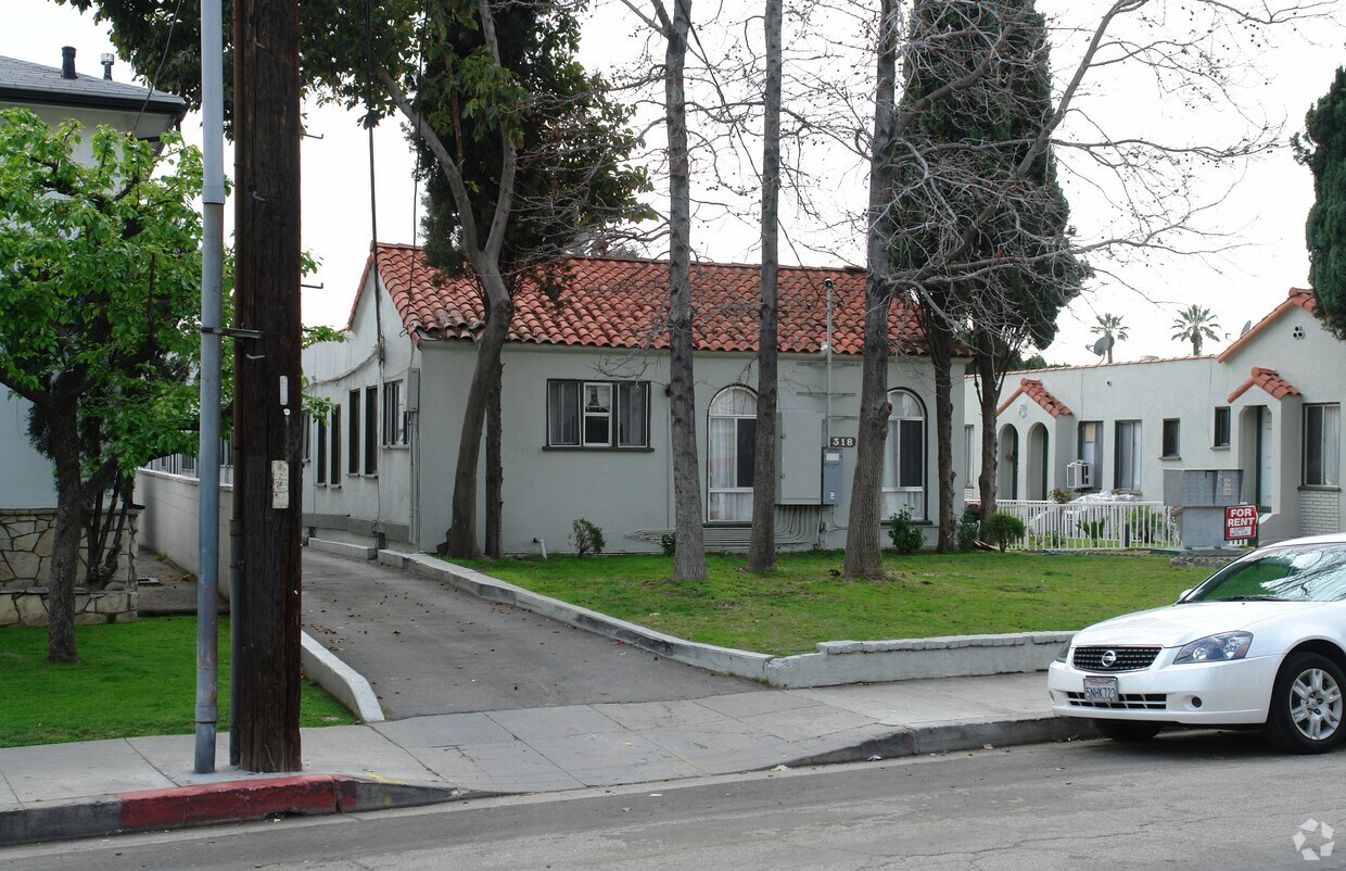
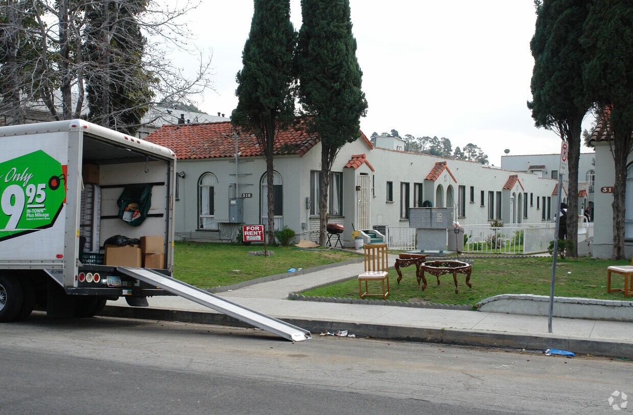
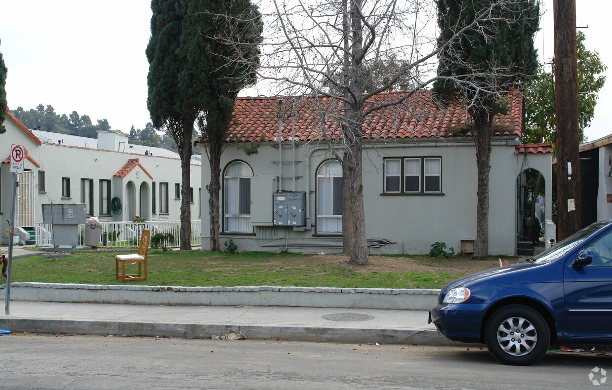

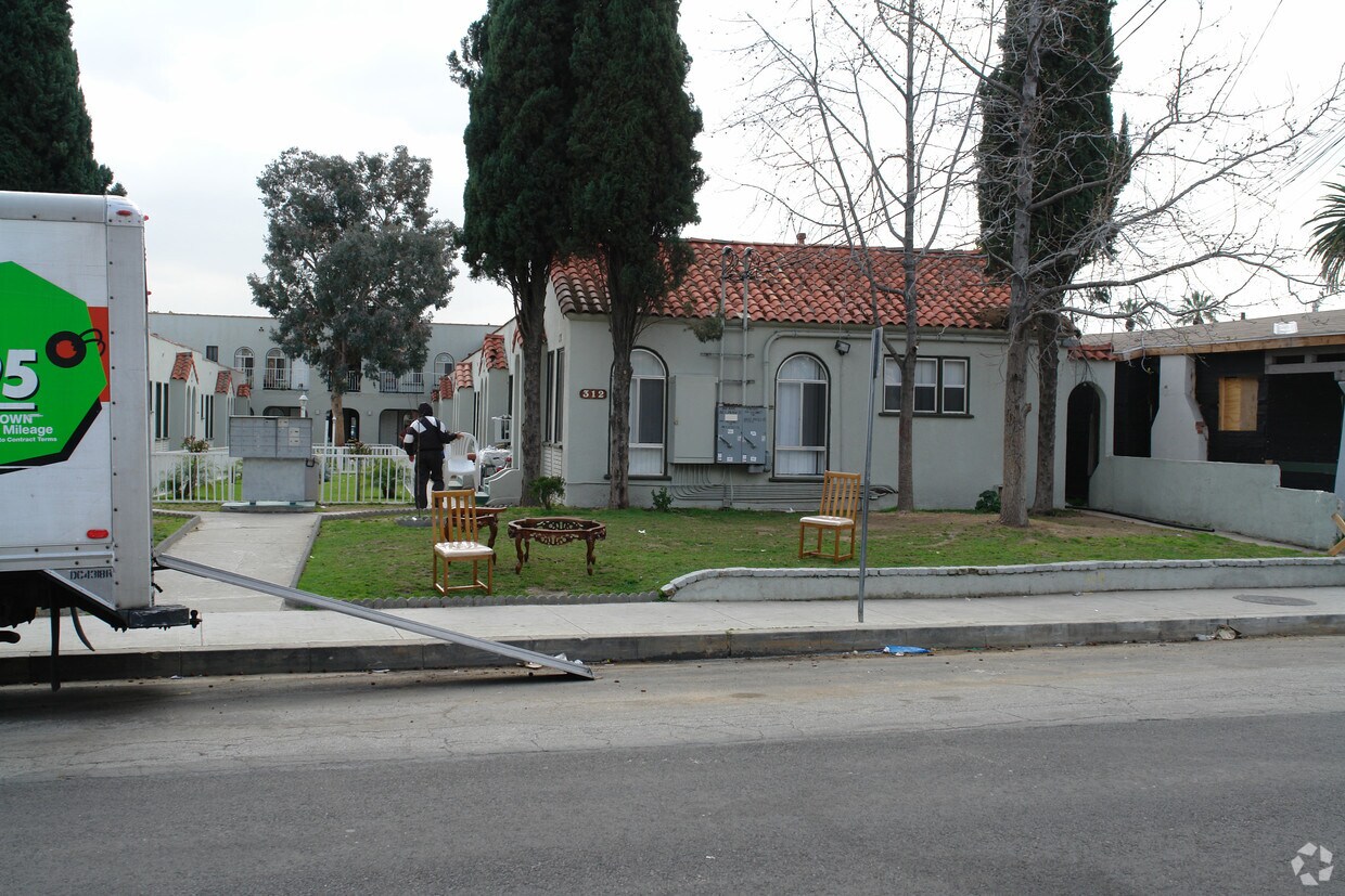
Find your new home at 312-318 E Palmer Ave in Glendale, CA. The prime E. Palmer Ave setting in the 91205 Zip code of Glendale makes a popular place to move to. The professional leasing team is ready and waiting for you to visit. Make sure you to view the available floorplans. Find your new home at 312-318 E Palmer Ave. Stop by the leasing office to talk about leasing your next apartment.
312-318 E Palmer Ave is an apartment community located in Los Angeles County and the 91205 ZIP Code. This area is served by the Glendale Unified attendance zone.
High Speed Internet Access
Smoke Free
Heating
Kitchen
Glendale’s Adams Hill neighborhood is stunning. Spanish-style homes with tile roofs dot the palm-tree-laden hills with sculpted mountains visible in the background. This picture-perfect neighborhood is located on the south side of Downtown Glendale, roughly between Chevy Chase Drive and Cathedral Drive.
This neighborhood sits seven miles directly north of Downtown Los Angeles, with Interstate 5 leading right into the city. Griffith Park, home of the Los Angeles Zoo and several other renowned attractions, is to the west of the neighborhood.
The famous Forest Lawn Memorial Park is partially located here. This cemetery houses a world-renowned art museum, awe-inspiring statuary, and the Hall of the Crucifixion-Resurrection in addition to serving as the final resting place of several notable celebrities.
Learn more about living in Adams Hill| Colleges & Universities | Distance | ||
|---|---|---|---|
| Colleges & Universities | Distance | ||
| Drive: | 9 min | 3.2 mi | |
| Drive: | 7 min | 3.4 mi | |
| Drive: | 9 min | 4.8 mi | |
| Drive: | 16 min | 8.6 mi |


Transportation options available in Glendale include Vermont/Sunset Station, located 4.0 miles from 312-318 E Palmer Ave. 312-318 E Palmer Ave is near Bob Hope, located 11.2 miles or 17 minutes away, and Los Angeles International, located 21.0 miles or 35 minutes away.
| Transit / Subway | Distance | ||
|---|---|---|---|
| Transit / Subway | Distance | ||
|
|
Drive: | 7 min | 4.0 mi |
|
|
Drive: | 8 min | 4.5 mi |
|
|
Drive: | 11 min | 4.7 mi |
|
|
Drive: | 10 min | 5.2 mi |
|
|
Drive: | 10 min | 5.4 mi |
| Commuter Rail | Distance | ||
|---|---|---|---|
| Commuter Rail | Distance | ||
|
|
Walk: | 19 min | 1.0 mi |
|
|
Drive: | 9 min | 5.7 mi |
|
|
Drive: | 14 min | 6.6 mi |
|
|
Drive: | 12 min | 7.0 mi |
| Drive: | 16 min | 11.0 mi |
| Airports | Distance | ||
|---|---|---|---|
| Airports | Distance | ||
|
Bob Hope
|
Drive: | 17 min | 11.2 mi |
|
Los Angeles International
|
Drive: | 35 min | 21.0 mi |
Time and distance from 312-318 E Palmer Ave.
| Shopping Centers | Distance | ||
|---|---|---|---|
| Shopping Centers | Distance | ||
| Walk: | 1 min | 0.1 mi | |
| Walk: | 2 min | 0.1 mi | |
| Walk: | 2 min | 0.1 mi |
| Parks and Recreation | Distance | ||
|---|---|---|---|
| Parks and Recreation | Distance | ||
|
Marsh Park
|
Drive: | 7 min | 2.8 mi |
|
Elyria Canyon Park
|
Drive: | 7 min | 3.3 mi |
|
Bird Sanctuary
|
Drive: | 8 min | 3.5 mi |
|
Los Angeles Zoo
|
Drive: | 12 min | 4.1 mi |
|
Griffith Observatory
|
Drive: | 11 min | 4.7 mi |
| Hospitals | Distance | ||
|---|---|---|---|
| Hospitals | Distance | ||
| Walk: | 12 min | 0.6 mi | |
| Drive: | 6 min | 2.6 mi | |
| Drive: | 7 min | 4.0 mi |
| Military Bases | Distance | ||
|---|---|---|---|
| Military Bases | Distance | ||
| Drive: | 32 min | 22.6 mi |
What Are Walk Score®, Transit Score®, and Bike Score® Ratings?
Walk Score® measures the walkability of any address. Transit Score® measures access to public transit. Bike Score® measures the bikeability of any address.
What is a Sound Score Rating?
A Sound Score Rating aggregates noise caused by vehicle traffic, airplane traffic and local sources
312-318 E Palmer Ave
Glendale, CA 91205


 - Violet on Virgil")

 - AVA Burbank")


