
$975
Total Monthly Price
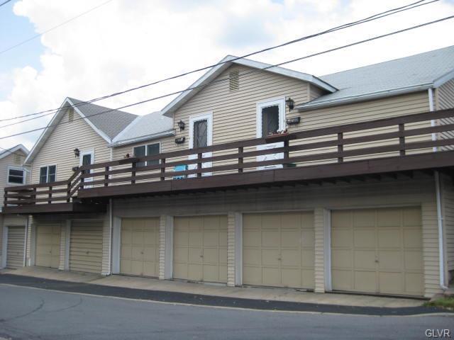
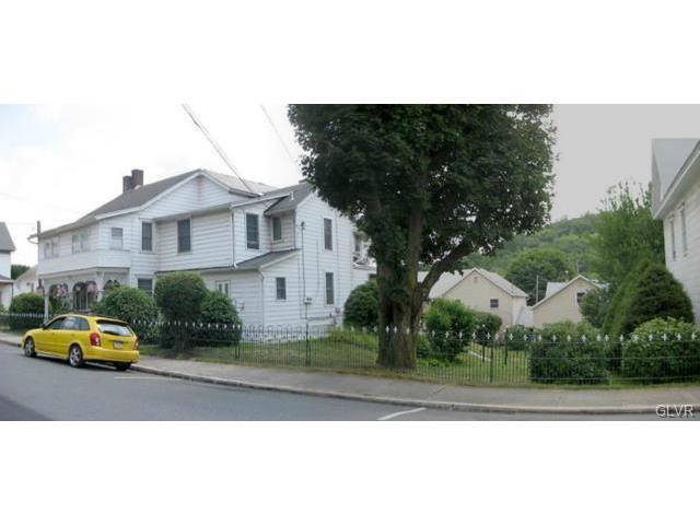
301 Chestnut Street Unit 302 Iron Alley
Slatington, PA 18080
Favorites
301 Chestnut Street Unit 302 Iron Alley

Favorites
Check Back Soon for Upcoming Availability
| Beds | Baths | Average SF |
|---|---|---|
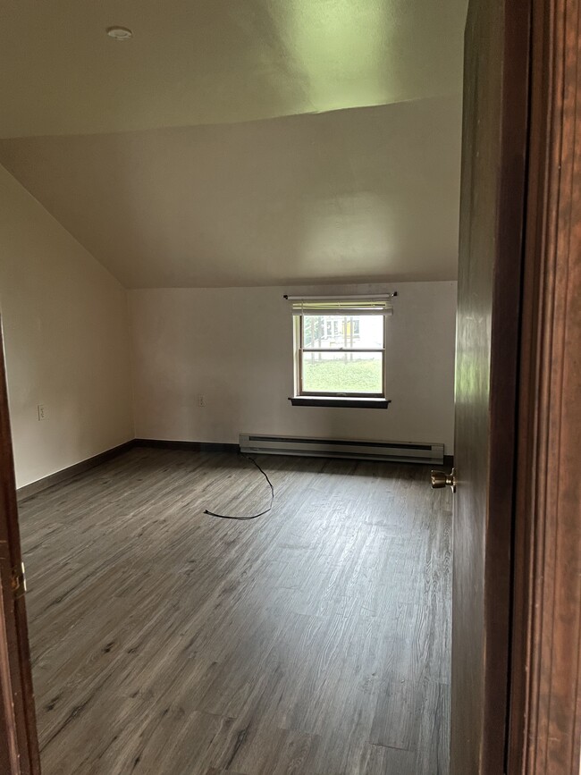
| 1 Bedroom 1 Bedroom 1 Br | 1 Bath 1 Bath 1 Ba | 650 SF |
Fees and Policies
The fees listed below are community-provided and may exclude utilities or add-ons. All payments are made directly to the property and are non-refundable unless otherwise specified.
- Parking
-
Garage$125/mo
Details
Utilities Included
-
Water
-
Trash Removal
-
Sewer
Property Information
-
9 units
About This Property
Private entry.
301 Chestnut Street is an apartment community located in Lehigh County and the 18080 ZIP Code.
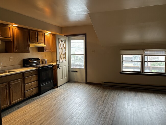
Apartment Features
Refrigerator
Tub/Shower
Smoke Free
Oven
- Smoke Free
- Cable Ready
- Tub/Shower
- Eat-in Kitchen
- Oven
- Range
- Refrigerator
- Deck
301 Chestnut Street,
Slatington,
PA
18080
Amenities
- Smoke Free
- Cable Ready
- Tub/Shower
- Eat-in Kitchen
- Oven
- Range
- Refrigerator
- Deck
Expenses
Recurring
Unassigned Garage Parking
$125
Utilities Included
Water, Trash Removal, Sewer
Included
Education
| Colleges & Universities | Distance | ||
|---|---|---|---|
| Colleges & Universities | Distance | ||
| Drive: | 14 min | 7.5 mi | |
| Drive: | 28 min | 14.2 mi | |
| Drive: | 27 min | 14.5 mi | |
| Drive: | 26 min | 15.7 mi |
301 Chestnut Street Unit 302 Iron Alley is within 14 minutes or 7.5 miles from Lehigh Carbon Comm. Coll.. It is also near McCann Bus & Tech, Allentown and Muhlenberg College.
Walkability Near 301 Chestnut Street Slatington, PA 18080
Getting Around
 What do Walkability, Transit, Drivability, and Bikeability mean?
Walkability measures the walking distance to day-to-day needs.
Transit measures access to public transportation.
Drivability measures congestion, parking availability, and access to major roads.
Bikeability measures the suitability for cycling.
How It Works
What do Walkability, Transit, Drivability, and Bikeability mean?
Walkability measures the walking distance to day-to-day needs.
Transit measures access to public transportation.
Drivability measures congestion, parking availability, and access to major roads.
Bikeability measures the suitability for cycling.
How It Works
Fairly Walkable
Walkability
40
/ 100
Limited Public Transit
Transit
30
/ 100
Very Drivable
Drivability
80
/ 100
Fairly Bikeable
Bikeability
50
/ 100
Scores provided by
-
Soundscore™
-
/ 100
Traffic
-Airport
-Businesses
-Scores provided by
HowLoud What is a Sound Score Rating? A Sound Score Rating aggregates noise caused by vehicle traffic, airplane traffic and local sources. How It WorksYou May Also Like
Similar Rentals Nearby


What Are Walk Score®, Transit Score®, and Bike Score® Ratings?
Walk Score® measures the walkability of any address. Transit Score® measures access to public transit. Bike Score® measures the bikeability of any address.
What is a Sound Score Rating?
A Sound Score Rating aggregates noise caused by vehicle traffic, airplane traffic and local sources.

301 Chestnut Street
Slatington, PA 18080