
1151 Viewpointe Blvd
1151 Viewpointe Blvd,
Rodeo, CA 94572
$1,400
Studio

Please review our rental requirements then contact us to schedule a tour. SATURDAY SHOWINGS AVAILABLE - PHONE HOURS SATURDAY (9 am -5:30 pm) RENTAL REQUIREMENTS: - Income = 3xRent - Credit = 640+ - No current delinquencies with previous landlords or Utility Companies. - No prior evictions As of January 1, 2025, all incoming residents must carry Renter’s Insurance with min liability of $100k Total move-in cost = first month’s rent + SD (security deposit) *Resident pays utilities. *Application fee = $40 *ASK ABOUT OUR PET POLICY* Thank you, we look forward to meeting you.
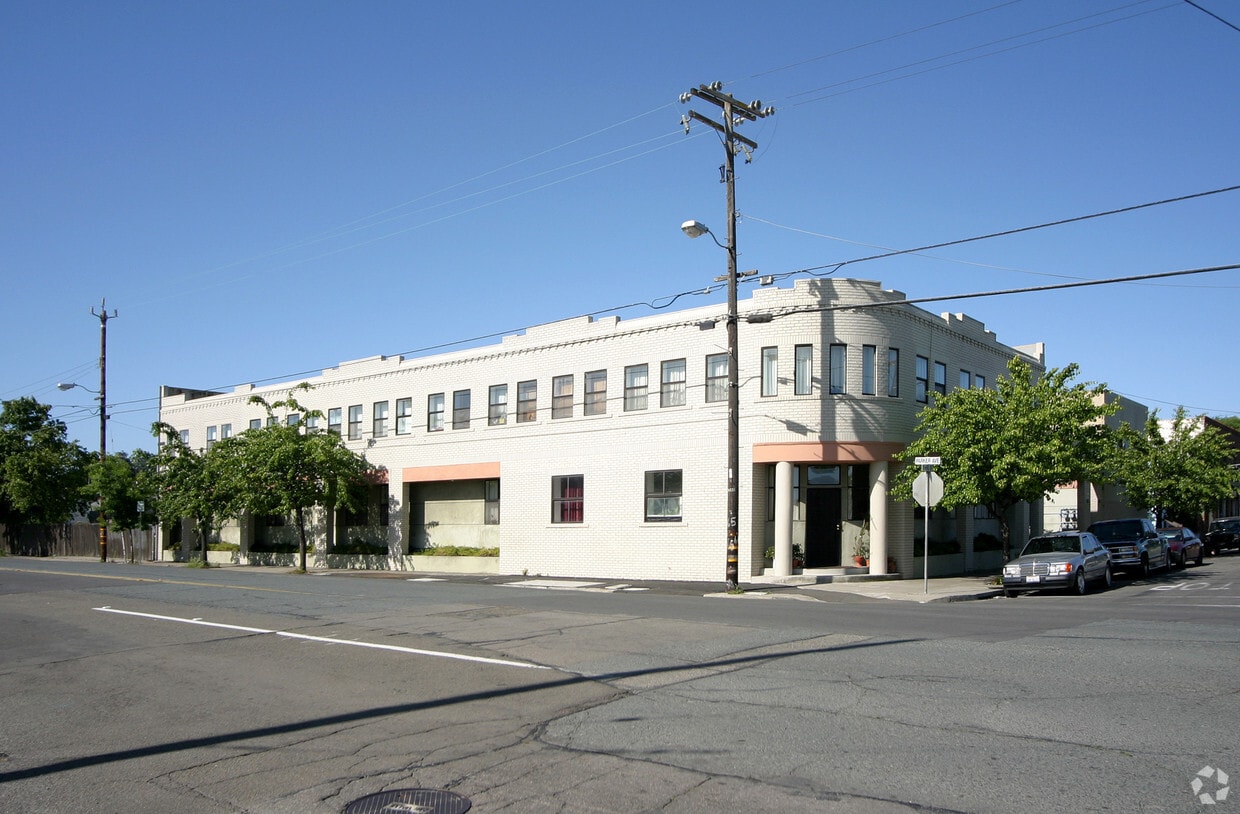
300 - 330 Parker Avenue in Rodeo is an apartment community located in Contra Costa County and the 94572 ZIP Code. This area is served by the John Swett Unified attendance zone.
Unique Features
Microwave
Refrigerator
Patio
Ceiling Fans
| Colleges & Universities | Distance | ||
|---|---|---|---|
| Colleges & Universities | Distance | ||
| Drive: | 11 min | 6.9 mi | |
| Drive: | 22 min | 11.8 mi | |
| Drive: | 24 min | 16.0 mi | |
| Drive: | 27 min | 17.1 mi |


Transportation options available in Rodeo include El Cerrito Del Norte, located 10.1 miles from 300 - 330 Parker Avenue in Rodeo. 300 - 330 Parker Avenue in Rodeo is near Metro Oakland International, located 29.1 miles or 38 minutes away, and San Francisco International, located 36.7 miles or 51 minutes away.
| Transit / Subway | Distance | ||
|---|---|---|---|
| Transit / Subway | Distance | ||
|
|
Drive: | 14 min | 10.1 mi |
|
|
Drive: | 14 min | 10.1 mi |
|
|
Drive: | 15 min | 10.3 mi |
|
|
Drive: | 17 min | 11.9 mi |
| Commuter Rail | Distance | ||
|---|---|---|---|
| Commuter Rail | Distance | ||
| Drive: | 15 min | 10.5 mi | |
|
|
Drive: | 19 min | 12.7 mi |
|
|
Drive: | 19 min | 14.7 mi |
|
|
Drive: | 22 min | 16.5 mi |
| Drive: | 39 min | 27.2 mi |
| Airports | Distance | ||
|---|---|---|---|
| Airports | Distance | ||
|
Metro Oakland International
|
Drive: | 38 min | 29.1 mi |
|
San Francisco International
|
Drive: | 51 min | 36.7 mi |
Time and distance from 300 - 330 Parker Avenue in Rodeo.
| Shopping Centers | Distance | ||
|---|---|---|---|
| Shopping Centers | Distance | ||
| Walk: | 8 min | 0.4 mi | |
| Drive: | 3 min | 1.2 mi | |
| Drive: | 3 min | 1.6 mi |
| Parks and Recreation | Distance | ||
|---|---|---|---|
| Parks and Recreation | Distance | ||
|
Ohlone Wilderness
|
Drive: | 5 min | 2.2 mi |
|
Crockett Hills Regional Park
|
Drive: | 6 min | 3.8 mi |
|
Fernandez Ranch
|
Drive: | 8 min | 5.3 mi |
|
Carquinez Strait Regional Shoreline
|
Drive: | 12 min | 6.0 mi |
|
Sobrante Ridge Regional Preserve
|
Drive: | 14 min | 7.3 mi |
| Hospitals | Distance | ||
|---|---|---|---|
| Hospitals | Distance | ||
| Drive: | 15 min | 9.8 mi | |
| Drive: | 15 min | 10.5 mi | |
| Drive: | 16 min | 10.7 mi |
| Military Bases | Distance | ||
|---|---|---|---|
| Military Bases | Distance | ||
| Drive: | 12 min | 7.6 mi | |
| Drive: | 20 min | 11.2 mi |
What Are Walk Score®, Transit Score®, and Bike Score® Ratings?
Walk Score® measures the walkability of any address. Transit Score® measures access to public transit. Bike Score® measures the bikeability of any address.
What is a Sound Score Rating?
A Sound Score Rating aggregates noise caused by vehicle traffic, airplane traffic and local sources
300-320 Parker Ave
Rodeo, CA 94572


