
$1,950 / Month
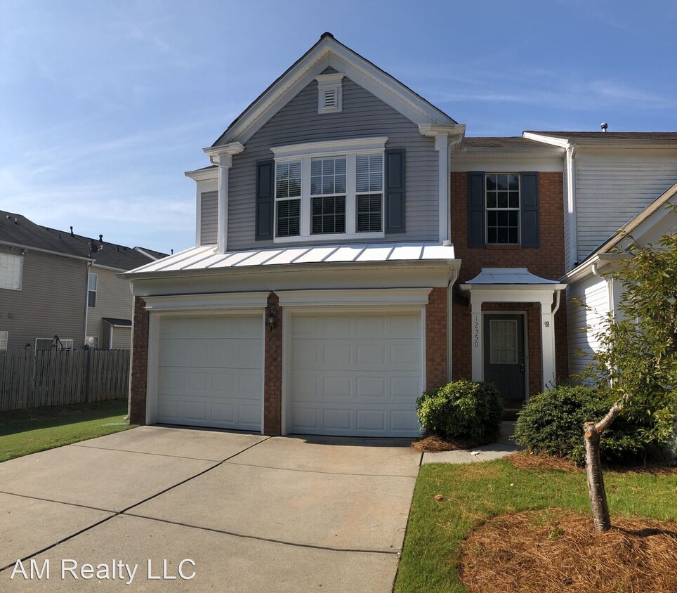
12350 Dunford St
Charlotte, NC 28277
2 Weeks Ago
Favorites
12350 Dunford St

Favorites
Check Back Soon for Upcoming Availability
| Beds | Baths | Average SF |
|---|---|---|
| 3 Bedrooms 3 Bedrooms 3 Br | 2.5 Baths 2.5 Baths 2.5 Ba | 1,796 SF |
About This Property
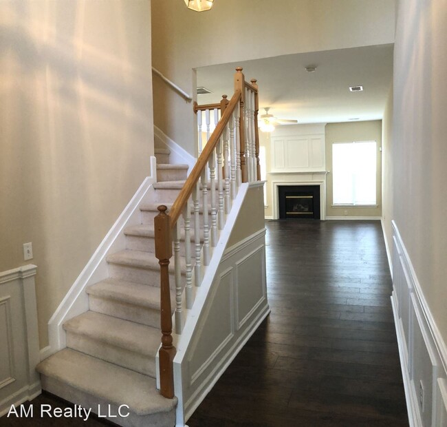
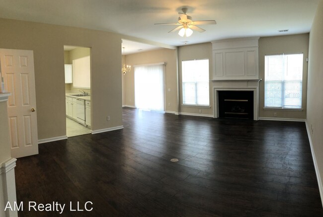
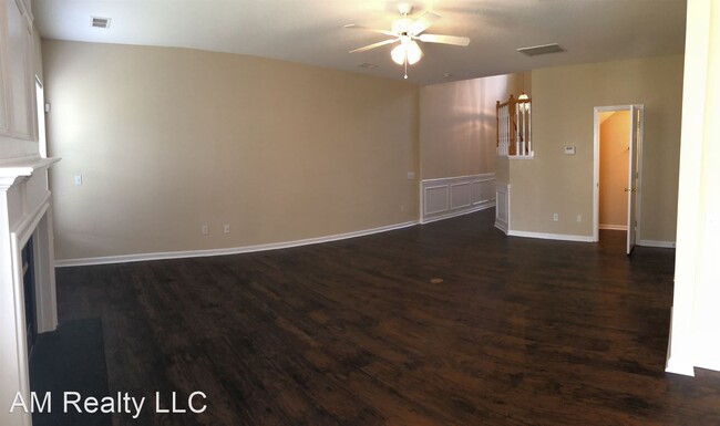
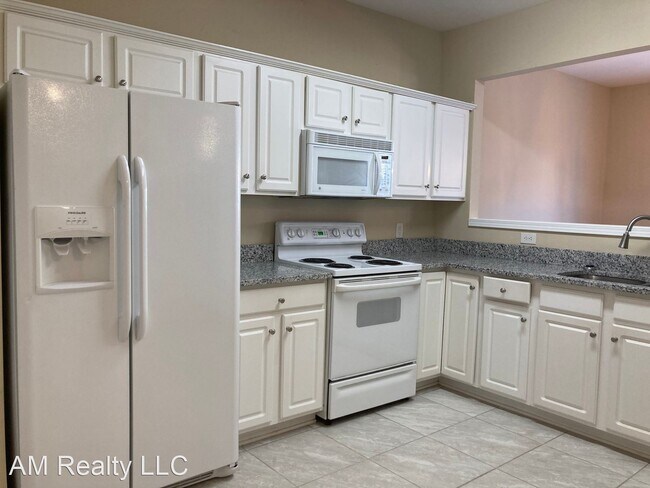
- End Unit Blakeney Town Home Available Now - Gorgeous two-story end unit town home near Ballantyne. Spacious 3-bedroom home with large great room and fireplace. Two car garage and patio. Gorgeous rich hardwoods throughout (Upstairs too)! Clubhouse, community pool, tennis courts and playground. Minutes from popular Blakeney shopping center. Call today for an appointment, . (RLNE1857535) Other Amenities: Other (community pool!, tennis courts, playground, club house, fireplace), Garage, Patio.
12350 Dunford St is a house located in Mecklenburg County and the 28277 ZIP Code. This area is served by the Charlotte-Mecklenburg attendance zone.
Unique Features
- Amenities - community pool!, tennis courts, playground, club house, fireplace, Garage
Fees and Policies
The fees below are based on community-supplied data and may exclude additional fees and utilities.
Location
Get Directions
Sitting on the southern edge of Charlotte at the South Carolina state line, the Ballantyne neighborhood is well-known as a sought-after residential community as well as a prime shopping and dining destination. The neighborhood is anchored by a cluster of popular shopping plazas and restaurants at the intersection of Johnston Road and Ballantyne Commons Parkway, which features local favorites like Rush Espresso Cafe and Zapata’s Mexican.
The retail district is surrounded by tranquil neighborhoods full of beautiful homes and luxury apartments on gorgeous tree-lined streets. Located right alongside I-485, living in Ballantyne provides convenient access to the local highways, allowing you to easily reach anywhere in the city for work or leisure anytime.
Learn more about living in BallantyneBelow are rent ranges for similar nearby apartments
| Beds | Average Size | Lowest | Typical | Premium |
|---|---|---|---|---|
| Studio Studio Studio | 649 Sq Ft | $1,262 | $1,933 | $4,910 |
| 1 Bed 1 Bed 1 Bed | 805-806 Sq Ft | $975 | $1,952 | $5,129 |
| 2 Beds 2 Beds 2 Beds | 1210-1212 Sq Ft | $1,245 | $2,471 | $6,962 |
| 3 Beds 3 Beds 3 Beds | 1669-1671 Sq Ft | $1,503 | $3,309 | $8,358 |
| 4 Beds 4 Beds 4 Beds | 2758 Sq Ft | $2,475 | $3,324 | $7,900 |
Amenities
- Amenities - community pool!, tennis courts, playground, club house, fireplace, Garage
Education
| Colleges & Universities | Distance | ||
|---|---|---|---|
| Colleges & Universities | Distance | ||
| Drive: | 16 min | 9.7 mi | |
| Drive: | 16 min | 10.4 mi | |
| Drive: | 23 min | 12.3 mi | |
| Drive: | 24 min | 13.5 mi |
12350 Dunford St is within 16 minutes or 10.4 miles from Central Piedmont C.C., Levine. It is also near Central Piedmont C.C., Harper and Queens University of Charlotte.
Schools


Public Elementary School
Grades PK-5
780 Students
Nearby
Public Elementary School
Grades K-5
598 Students
Nearby
Public Middle School
Grades 6-8
1,305 Students
Attendance Zone
Public High School
Grades 9-12
3,529 Students
Attendance Zone
Private Elementary & Middle School
Grades K-8
127 Students
Nearby
Private Elementary, Middle & High School
Grades PK-12
1,481 Students
Nearby
Private Elementary & Middle School
Grades PK-9
178 Students
Nearby
Private Elementary School
Grades K-5
614 Students
Nearby
School data provided by
 The GreatSchools Rating helps parents compare schools within a state based on a variety of school quality indicators and provides a helpful picture of how effectively each school serves all of its students. Ratings are on a scale of 1 (below average) to 10 (above average) and can include test scores, college readiness, academic progress, advanced courses, equity, discipline and attendance data. We also advise parents to visit schools, consider other information on school performance and programs, and consider family needs as part of the school selection process.
View GreatSchools Rating Methodology
View GreatSchools Rating Methodology
Transportation options available in Charlotte include I-485/South Boulevard, located 7.4 miles from 12350 Dunford St. 12350 Dunford St is near Charlotte/Douglas International, located 16.7 miles or 27 minutes away, and Concord-Padgett Regional, located 34.3 miles or 42 minutes away.
| Transit / Subway | Distance | ||
|---|---|---|---|
| Transit / Subway | Distance | ||
|
|
Drive: | 11 min | 7.4 mi |
|
|
Drive: | 13 min | 8.3 mi |
|
|
Drive: | 14 min | 9.3 mi |
|
|
Drive: | 16 min | 10.6 mi |
|
|
Drive: | 18 min | 11.3 mi |
| Commuter Rail | Distance | ||
|---|---|---|---|
| Commuter Rail | Distance | ||
|
|
Drive: | 28 min | 15.7 mi |
|
|
Drive: | 41 min | 31.7 mi |
| Drive: | 55 min | 44.9 mi |
| Airports | Distance | ||
|---|---|---|---|
| Airports | Distance | ||
|
Charlotte/Douglas International
|
Drive: | 27 min | 16.7 mi |
|
Concord-Padgett Regional
|
Drive: | 42 min | 34.3 mi |
Time and distance from 12350 Dunford St.
| Shopping Centers | Distance | ||
|---|---|---|---|
| Shopping Centers | Distance | ||
| Walk: | 10 min | 0.6 mi | |
| Walk: | 16 min | 0.8 mi | |
| Drive: | 4 min | 1.2 mi |
12350 Dunford St has 3 shopping centers within 1.2 miles, which is about a 4-minute walk. The miles and minutes will be for the farthest away property.
| Parks and Recreation | Distance | ||
|---|---|---|---|
| Parks and Recreation | Distance | ||
|
Marvin Efird Park
|
Drive: | 16 min | 7.2 mi |
|
Briar Creek Greenway
|
Drive: | 19 min | 9.8 mi |
|
Stallings Municipal Park
|
Drive: | 14 min | 9.9 mi |
|
Wing Haven Gardens & Bird Sanctuary
|
Drive: | 22 min | 10.5 mi |
|
Campbell Creek Greenway
|
Drive: | 20 min | 15.0 mi |
12350 Dunford St has 5 parks within 15.0 miles, including Marvin Efird Park, Stallings Municipal Park, and Briar Creek Greenway.
| Hospitals | Distance | ||
|---|---|---|---|
| Hospitals | Distance | ||
| Drive: | 10 min | 6.3 mi | |
| Drive: | 12 min | 8.6 mi |
12350 Dunford St is 6.3 miles from Carolinas Medical Center - Pineville, and is convenient to other hospitals, including Strategic Behavioral Center - Charlotte.
| Military Bases | Distance | ||
|---|---|---|---|
| Military Bases | Distance | ||
| Drive: | 129 min | 90.7 mi |
12350 Dunford St is 90.7 miles and a 129 minute drive from Fort Jackson.
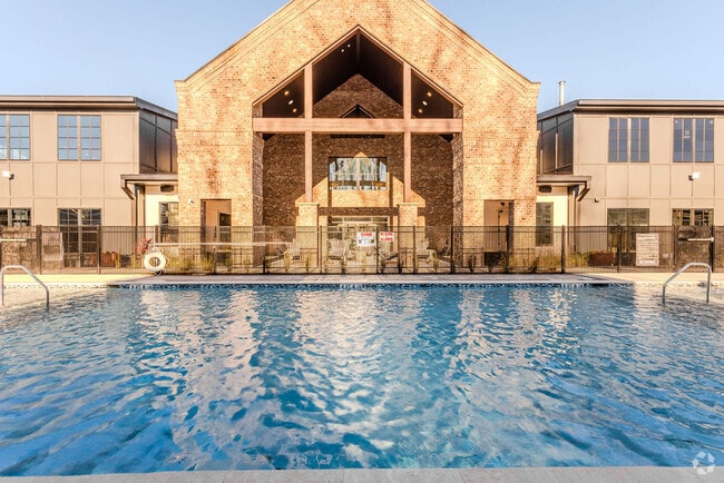
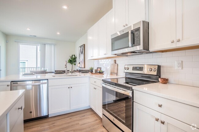
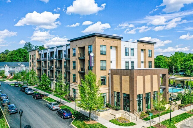
You May Also Like
Similar Rentals Nearby


What Are Walk Score®, Transit Score®, and Bike Score® Ratings?
Walk Score® measures the walkability of any address. Transit Score® measures access to public transit. Bike Score® measures the bikeability of any address.
What is a Sound Score Rating?
A Sound Score Rating aggregates noise caused by vehicle traffic, airplane traffic and local sources

12350 Dunford St
Charlotte, NC 28277