$2,750
/ Month
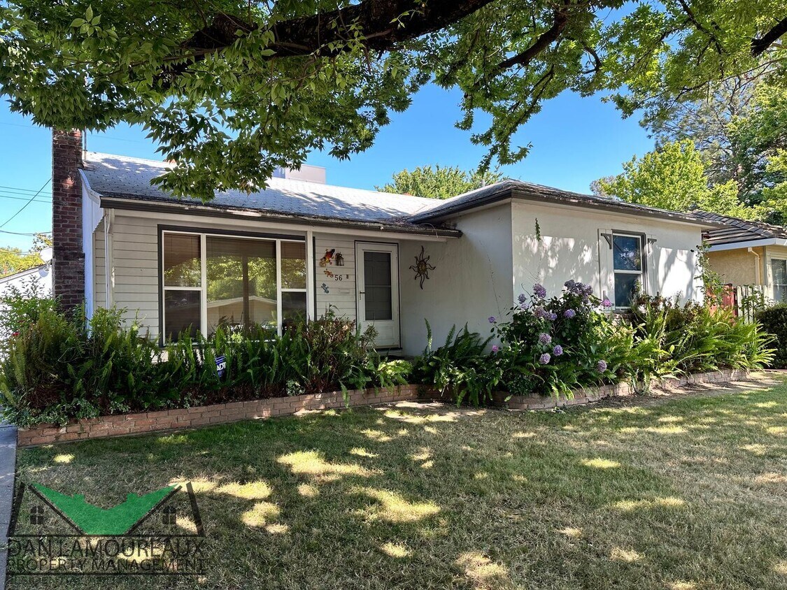
56 Coloma Way
Sacramento, CA 95819
2 Weeks Ago
|
Edit
Favorites
56 Coloma Way

Favorites
Check Back Soon for Upcoming Availability
| Beds | Baths | Average SF |
|---|---|---|
| 3 Bedrooms 3 Bedrooms 3 Br | 1 Bath 1 Bath 1 Ba | 1,120 SF |
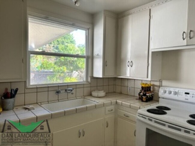
About This Property
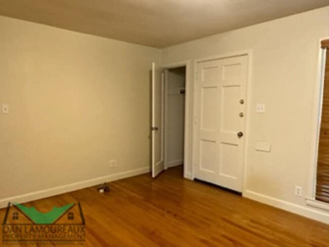
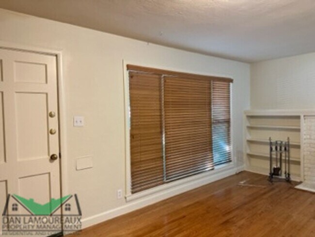
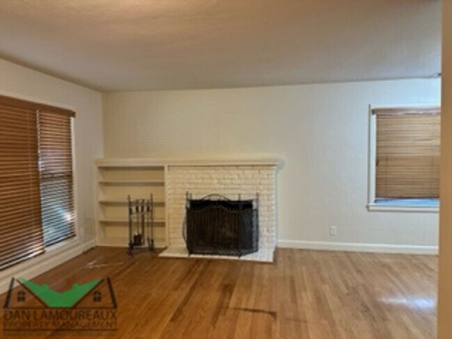
- East Sacramento - Discover the charm of East Sacramento living in this cozy 3-bed, 1-bath home spanning 1120 sq. ft. Enjoy the convenience of a spacious backyard, Central Heat and Air, and a laundry room. Nestled in a tranquil neighborhood, this gem awaits its new tenant. Make it yours today! MINIMUM QUALIFYING REQUIREMENT Application Fee $45 per adult __________________________________________________ Pet Policy No Pets __________________________________________________ Qualifying Guidelines 3 times rent in monthly gross household income. 2-year employment history Good rental history (will verify) No Evictions Credit scores 640 or higher 2-year rent history or equivalent __________________________________________________ Required with application Proof of income (Examples: 30 days recent paystubs, W-2, Tax returns (self-employed), Employment letter Photo ID Bank Statement Social Security Number (for credit / background check) (RLNE8173789)
56 Coloma Way is a house located in Sacramento County and the 95819 ZIP Code. This area is served by the Sacramento City Unified attendance zone.
Location
Get Directions
East Sacramento offers renters a breath of fresh air in the city. Known for tree-lined streets and great parks, East Sacramento is one of the city’s best neighborhoods. The community features lavish apartments, condos, townhomes, and houses. Join your new friends and neighbors at popular McKinley Park, known for its elegant rose garden, food trucks, festivals, concerts, and outdoor movie nights. The neighborhood is also known for its stellar dining and nightlife scene. While living in East Sacramento, you’ll have easy access to craft breweries, trendy coffee shops, quaint boutiques, sports bars, and diverse eateries. Great for students as well, the community borders California State University, Sacramento. This vibrant neighborhood also offers close proximity to Midtown and Downtown Sacramento, which are both about four miles away.
Learn more about living in East SacramentoBelow are rent ranges for similar nearby apartments
Education
| Colleges & Universities | Distance | ||
|---|---|---|---|
| Colleges & Universities | Distance | ||
| Drive: | 5 min | 2.1 mi | |
| Drive: | 10 min | 5.3 mi | |
| Drive: | 18 min | 10.8 mi | |
| Drive: | 19 min | 12.0 mi |
56 Coloma Way is within 5 minutes or 2.1 miles from Sacramento State. It is also near Sacramento City College and American River College.
Schools


Public Elementary School
Grades K-3
372 Students
Nearby
Public Elementary School
Grades K-6
432 Students
Attendance Zone
Public Middle School
Grades 7-8
1,075 Students
Attendance Zone
Public High School
Grades 9-12
1,733 Students
Attendance Zone
Private Elementary School
Grades PK-6
211 Students
Nearby
Private Elementary & Middle School
Grades PK-8
304 Students
Nearby
Private High School
Grades 9-12
1,091 Students
Nearby
School data provided by
 The GreatSchools Rating helps parents compare schools within a state based on a variety of school quality indicators and provides a helpful picture of how effectively each school serves all of its students. Ratings are on a scale of 1 (below average) to 10 (above average) and can include test scores, college readiness, academic progress, advanced courses, equity, discipline and attendance data. We also advise parents to visit schools, consider other information on school performance and programs, and consider family needs as part of the school selection process.
View GreatSchools Rating Methodology
Data provided by GreatSchools.org © 2025. All rights reserved.
View GreatSchools Rating Methodology
Data provided by GreatSchools.org © 2025. All rights reserved.
Transportation options available in Sacramento include 48Th Street, located 1.6 miles from 56 Coloma Way. 56 Coloma Way is near Sacramento International, located 15.1 miles or 25 minutes away.
| Transit / Subway | Distance | ||
|---|---|---|---|
| Transit / Subway | Distance | ||
|
|
Drive: | 6 min | 1.6 mi |
|
|
Drive: | 7 min | 1.9 mi |
|
|
Drive: | 6 min | 2.6 mi |
|
|
Drive: | 5 min | 2.7 mi |
|
|
Drive: | 9 min | 4.9 mi |
| Commuter Rail | Distance | ||
|---|---|---|---|
| Commuter Rail | Distance | ||
| Drive: | 10 min | 4.5 mi | |
|
|
Drive: | 24 min | 18.4 mi |
|
|
Drive: | 27 min | 19.5 mi |
|
|
Drive: | 28 min | 21.6 mi |
|
|
Drive: | 42 min | 33.9 mi |
| Airports | Distance | ||
|---|---|---|---|
| Airports | Distance | ||
|
Sacramento International
|
Drive: | 25 min | 15.1 mi |
Time and distance from 56 Coloma Way.
| Shopping Centers | Distance | ||
|---|---|---|---|
| Shopping Centers | Distance | ||
| Walk: | 18 min | 0.9 mi | |
| Walk: | 19 min | 1.0 mi | |
| Drive: | 5 min | 1.4 mi |
56 Coloma Way has 3 shopping centers within 1.4 miles, which is about a 5-minute walk. The miles and minutes will be for the farthest away property.
| Parks and Recreation | Distance | ||
|---|---|---|---|
| Parks and Recreation | Distance | ||
|
Paradise Beach County Recreation Area
|
Drive: | 3 min | 1.4 mi |
|
Sutter's Fort State Historical Monument
|
Drive: | 5 min | 2.4 mi |
|
Governor's Mansion State Historic Park
|
Drive: | 7 min | 3.0 mi |
|
California State Capitol Museum
|
Drive: | 8 min | 4.0 mi |
|
Leland Stanford Mansion State Historic Park
|
Drive: | 8 min | 4.0 mi |
56 Coloma Way has 5 parks within 4.0 miles, including Paradise Beach County Recreation Area, Sutter's Fort State Historical Monument, and Governor's Mansion State Historic Park.
| Hospitals | Distance | ||
|---|---|---|---|
| Hospitals | Distance | ||
| Drive: | 4 min | 1.2 mi | |
| Drive: | 5 min | 2.4 mi | |
| Drive: | 8 min | 3.5 mi |
56 Coloma Way has 3 hospitals within 3.5 miles, the nearest is Mercy General Hospital which is 1.2 miles away and a 4 minute drive.
| Military Bases | Distance | ||
|---|---|---|---|
| Military Bases | Distance | ||
| Drive: | 25 min | 11.8 mi |
56 Coloma Way is 11.8 miles and a 25 minute drive from McClellan Air Force Base.
You May Also Like
Similar Rentals Nearby


What Are Walk Score®, Transit Score®, and Bike Score® Ratings?
Walk Score® measures the walkability of any address. Transit Score® measures access to public transit. Bike Score® measures the bikeability of any address.
What is a Sound Score Rating?
A Sound Score Rating aggregates noise caused by vehicle traffic, airplane traffic and local sources

56 Coloma Way
Sacramento, CA 95819