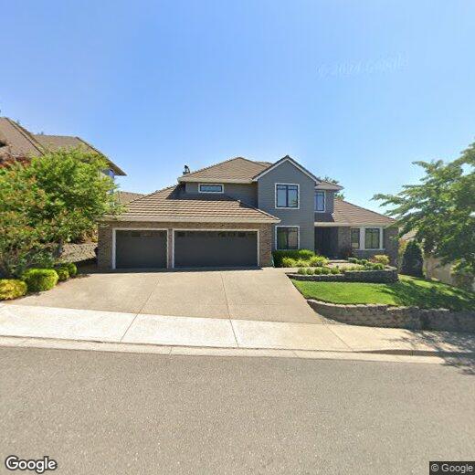

2922 Laurelwood Ct NW
2922 Laurelwood Ct NW
Salem, OR 97304
Favorites
2922 Laurelwood Ct NW

Favorites
Check Back Soon for Upcoming Availability
2922 Laurelwood Ct NW,
Salem,
OR
97304
Salem has carried the weight of Oregon's political history since it became the state capital in 1851, and that legacy still shapes the city's identity today. Sitting in the heart of the Willamette Valley along the Willamette River, Salem is a mid-size capital city of roughly 180,000 people where government, healthcare, and higher education drive daily economic life. The State of Oregon is the largest public employer here, Salem Health anchors the healthcare sector, and Willamette University brings an academic presence close to downtown. Chemeketa Community College serves the broader region from the northeast side of the city.
Neighborhoods here cover real ground in terms of feel and layout. Downtown Salem sits near the Oregon State Capitol and draws renters who want walkable access to the Elsinore Theatre, the Reed Opera House, and Salem Riverfront Park.
Learn more about living in Salem
Education
| Colleges & Universities | Distance | ||
|---|---|---|---|
| Colleges & Universities | Distance | ||
| Drive: | 10 min | 4.7 mi | |
| Drive: | 21 min | 10.2 mi | |
| Drive: | 30 min | 17.8 mi | |
| Drive: | 32 min | 20.5 mi |
2922 Laurelwood Ct NW is within 10 minutes or 4.7 miles from Willamette University. It is also near Chemeketa C.C., Salem Campus and Western Oregon University.
Walkability Near 2922 Laurelwood Ct NW Salem, OR 97304
Getting Around
 What do Walkability, Transit, Drivability, and Bikeability mean?
Walkability measures the walking distance to day-to-day needs.
Transit measures access to public transportation.
Drivability measures congestion, parking availability, and access to major roads.
Bikeability measures the suitability for cycling.
How It Works
What do Walkability, Transit, Drivability, and Bikeability mean?
Walkability measures the walking distance to day-to-day needs.
Transit measures access to public transportation.
Drivability measures congestion, parking availability, and access to major roads.
Bikeability measures the suitability for cycling.
How It Works
Somewhat Walkable
Walkability
20
/ 100
Minimal Public Transit
Transit
10
/ 100
Exceptionally Drivable
Drivability
90
/ 100
Somewhat Bikeable
Bikeability
30
/ 100
Scores provided by
-
Soundscore™
-
/ 100
Traffic
-Airport
-Businesses
-Scores provided by
HowLoud What is a Sound Score Rating? A Sound Score Rating aggregates noise caused by vehicle traffic, airplane traffic and local sources. How It WorksYou May Also Like
Similar Rentals Nearby


What Are Walk Score®, Transit Score®, and Bike Score® Ratings?
Walk Score® measures the walkability of any address. Transit Score® measures access to public transit. Bike Score® measures the bikeability of any address.
What is a Sound Score Rating?
A Sound Score Rating aggregates noise caused by vehicle traffic, airplane traffic and local sources.