


$3,100
Total Monthly PriceBase Rent$3,100
Required Monthly FeesNone
Total Monthly Price$3,100
13 Month Lease
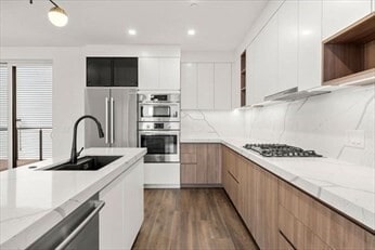
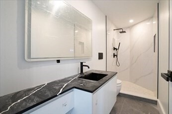
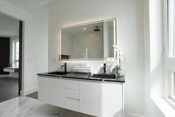
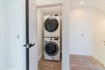
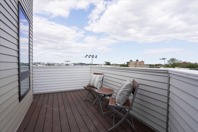
4 Beds, 1 Bath, 1,300 sq ft
Townhome for Rent


